The Trip During the Heat of Summer.

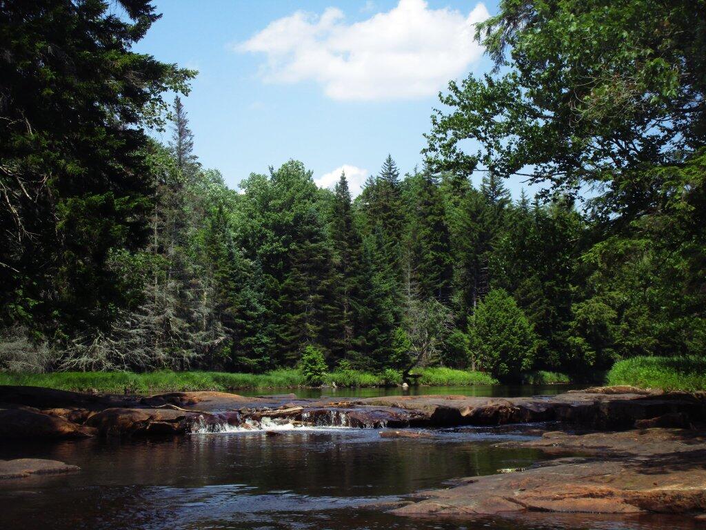
Last summer during some of the hottest days of the year, I went up to the Potholers and Piseco-Powley Road for a four-day, three-night trip. Just long enough that I wouldn’t have to get a camping permit.

 Campfire

That was the weekend that it was in the upper 90s with heat indexes in the low 100s in Albany, but I didn’t mind, because I spent most of my days down at the potholers.

 Where I Spent Many Days

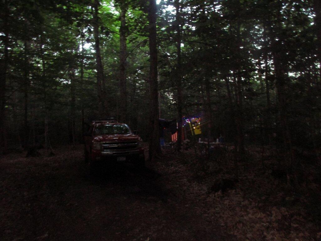
Despite the heat, the water was nice and cold. And when I got back to camp the beer was delicious.

 Natural Rock Dam

Maybe not the most exotic trip ever, but it was nice to escape the heat for a few days in the wilderness.

 Dusk

Map: Big Alderbed Lake Trail
Map: Clockmill Corners to NY 10
Map: Edick Road Swimming Hole
Map: Goldmine Stream Falls
Map: House Pond Trail
Map: Lower Powley Bridge to Sugarbush Mountain
Map: Meco Lake Trail (Piseco-Powley Road)
Map: Overview Map Piseco-Powley Road
Map: Piseco Road Swimming Holes
Map: Powley Place - East Canada Creek - Kayak Canoe
Map: Sand Lake
Map: Sand Lake Trail
Map: Sugarbush Mountain to Clockmill Corners
SVGZ Graphic: high-temp-ny [Expires June 19 2026]
Terrain Map: Juneteenth 2022 Weekend
Terrain Map: Powley Road
Photo: Saturday Night At Camp
Photo: Deteriorating Powley Place Bridge
Photo: Scenic Creek
Photo: Nice Afternoon for Fishing
Photo: Watagh Club Sign
Photo: Along Powley Road
Photo: Out on Lake
Photo: House Pond
Photo: North Up to Piseco-Powley
Photo: Campsite

Leave a Reply

Your email address will not be published. Required fields are marked *