Images💾
🗺️ Maps

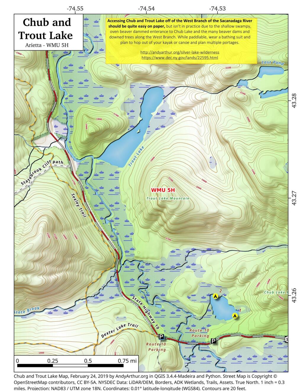
Chub And Trout Lake
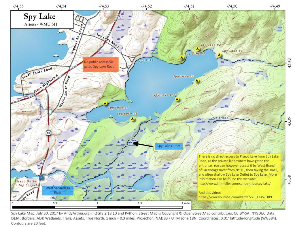
Chub Pond and Trout Lake in principle should be relatively easy to access, they as they are just a little ways from the put in used to access Good Luck Lake. Unfortunately, the West Branch of the Sacanadaga River has numerous strainers and down trees, and streams that flow out out of both Chub Pond and Trout Lake are narrow, shallow, and often impassable in times of low water. They also are very marshy along the shoreline, which can make it challenging to portage around the shallow water.


![Untitled [Expires July 21 2025]](https://andyarthur.org//data/photo_017124_large.jpg)