Interstate 84 at Interstate 684
The end of Interstate 684 which becomes NY 22 north of the expressway.

The end of Interstate 684 which becomes NY 22 north of the expressway.


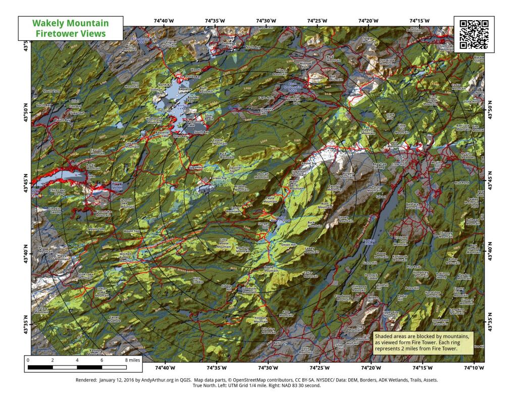
This map gives an overview of mountains and lakes that are visible (and not visible) from Wakely Mountain Firetower. I'm new at doing visibility analysis so it's possible that I don't have the visibility completely correct, but it's an interesting experiment.

Watching the march of the green to the north.
The former Brownstone Mines in Connecticut are now an adventure park. https://brownstonepark.com/
