Old Partridge Run Road
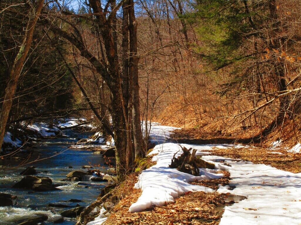
In the valley areas, there still was significant snow on the ground.
Sunday March 21, 2021 — Partridge Run Game Management Area — Partridge Run WMA 🗺
In the valley areas, there still was significant snow on the ground.
Sunday March 21, 2021 — Partridge Run Game Management Area — Partridge Run WMA 🗺

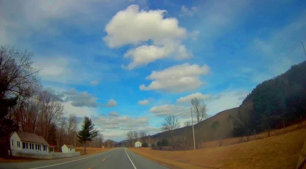
Where New Jersey, New York State and Pennsylvania come together.


"The Rapp Road Historic District (RRHD) is a cluster of 23 homes built by African Americans who migrated predominantly from Shubuta Mississippi as part of the Great Migration (1927 to 1963). During this time span, 23 families chose to build their homes and raise a family in the Pine Bush section of Albany." More information: https://rapproad.wordpress.com/about-us/rapp-road-historic-district/ The 1952 aerial photo was MapWarper by Richard Welty. https://mapwarper.net/maps/44102


