
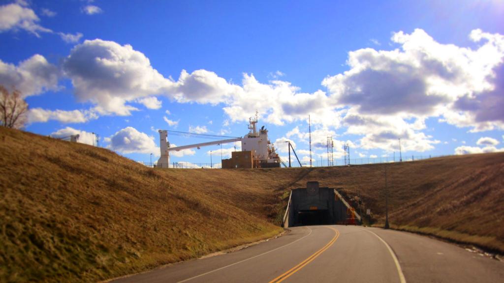
Have you ever driven under a 28,500 ton Seawaymax ship?

Crossgates Maul / Rapp Road 1952
Albany/Colonie/Guilderland, NY, 1952 - The area around Exit 24 during initial construction of the Thruway Uploaded by Richard Welty. Get the geo-referenced image here: https://mapwarper.net/maps/44102

Ride Sharing Should Be Carpooling
I hate the euthanasism of ride sharing – which is a limousine service that is dispatched by a phone app.
Real ride sharing is called carpooling. Already many government agencies offer hotlines and provide park and ride lots for carpooling. There should be better apps for carpooling because apps would be a great way for people to meet who are heading the same direction and could share a ride. Meet new friends, save gas, reduce traffic and pollution.
Ideally a carpool app would be linked into government databases at the DMV to ensure people are meeting up with safe drivers and that passengers and drivers aren’t violent criminals. While administering such a database and credentialing drivers and passengers wouldn’t be free, it would be in the public’s interest to make such a service free for the public to use.
A publicly run app based carpooling service, using GPS tracking and with proper credentialing of drivers and riders would be a very good step forward for every state to adapt.
Finger Lakes National Forest – Topographic Map Quads
Most of the Fingers Lakes National Forest is located in the Burdett and Lodi quads however some other maps may be of use when exploring the outer edges of National Forest.

