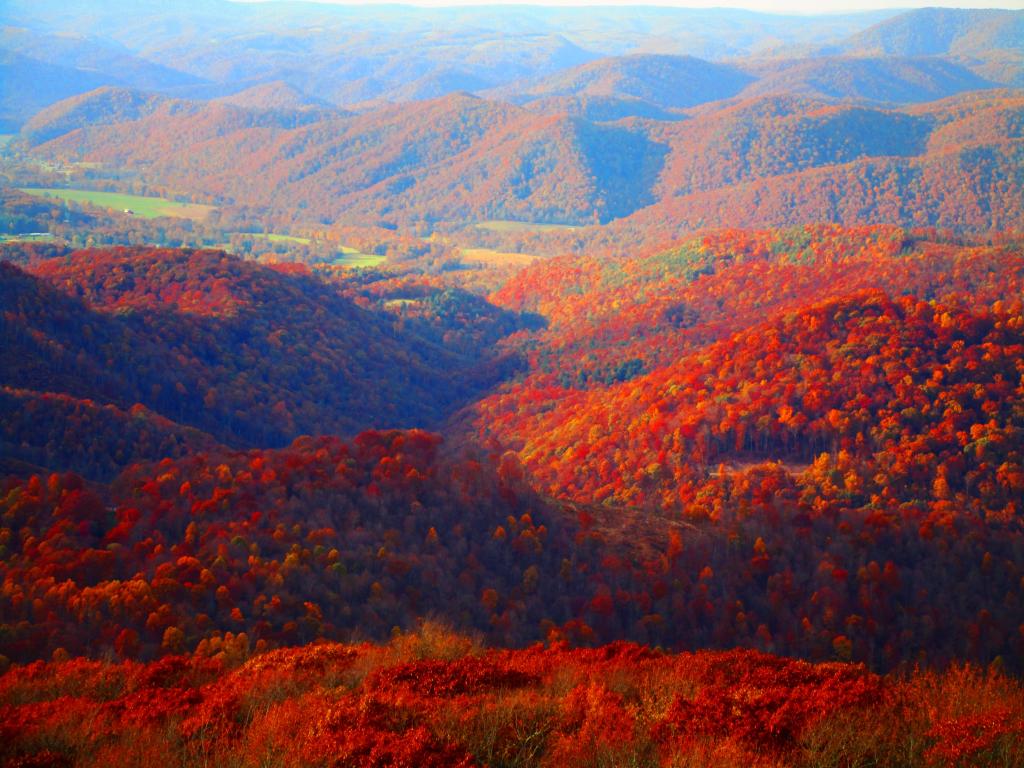
Setting Sun at Kunjamunk Parking Pull Off

I took this back when I was in college, looking down towards Pok-O-Moonshine and Augur Lake.
Monday November 14, 2005 — Plattsburgh State

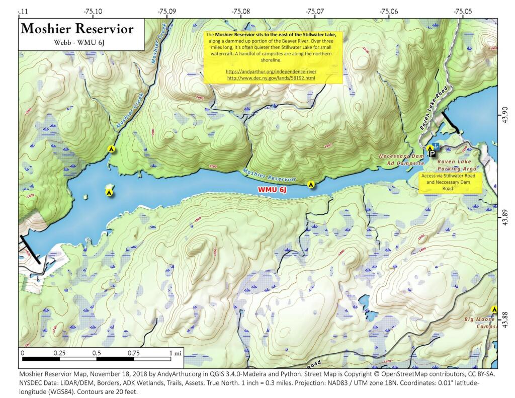
The three-mile long Moshier Reservoir exists below Stillwater Reservoir outside of Stillwater. Access is via Neccessary Dam Road, and provides miles of paddling without the craziness or choppiness of Stillwater Reservior. There are a handful of campsites along the shoreline.

On Monday 10/23, in the afternoon I hiked the Davis trail from Canaan Loop Road through the dense Rhododendron down to Blackwater State Forest. It's a nice trail but as is common in the highlands of West Virginia, the trails can be soggy so waterproof boots are highly recommended.
Monday October 23, 2023 — Monongahela National Forest — Blackwater Canyon Trail 🗺 — Forest Road 13 Informal Camping Opporunities 🗺 — Monongahela National Forest 1:24k Topographic Map Index 🗺 — Olson Fire Tower 🗺— PDF with All Maps 📚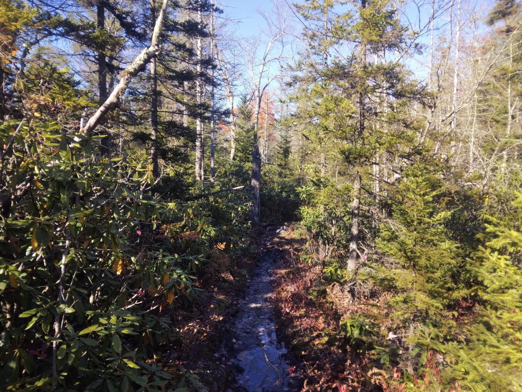

Montrose is a tiny little hamlet, like many in West Virginia, nestled in-between the hills, as seen from the Olson Firetower.
Thursday October 26, 2023 — Olson Firetower