Above the Canyon

Exploring the Carry Lean-To in the West Canada Lake Wilderness, off of the Cedar River, about a mile above the Cedar River Flow.

This is a along one of the sections not right along the edge, and offered a safe place to pull off.
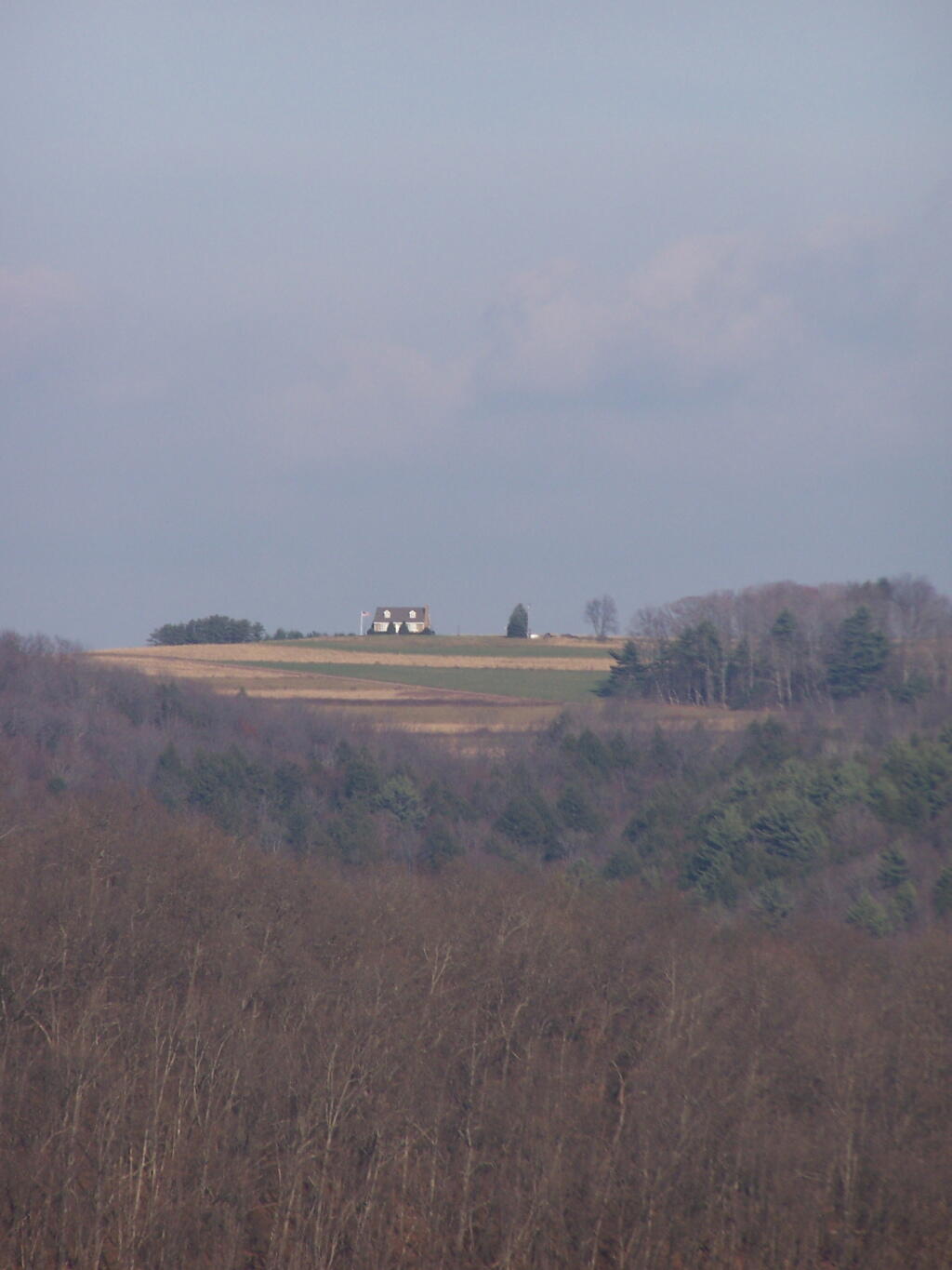
Monday November 8, 2010 — Tioga State Forest
![Untitled [Expires November 7 2024]](https://andyarthur.org//data/photo_017732_large.jpg)