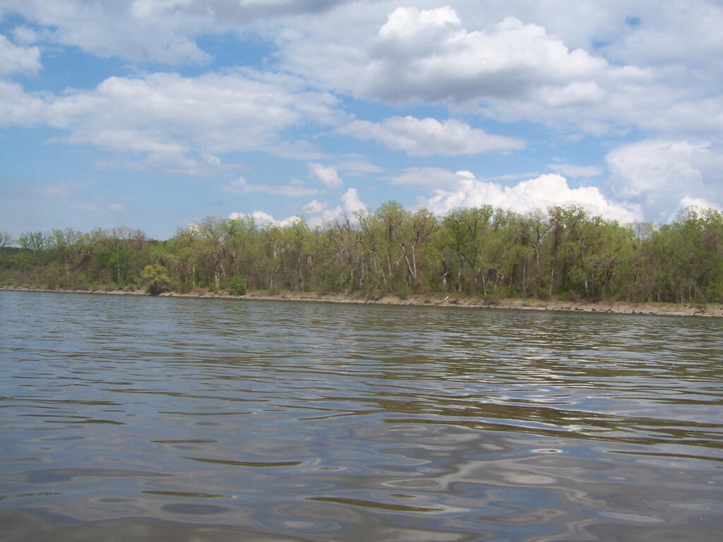
Looking Across the Hudson River
Not too bad of an afternoon the on the Hudson. Fairly sunny, and flat water. Much of the Hudson River between Albany and Troy is undeveloped, because when suburbia was creeping in during the 1950s and 1960s, the the Hudson River was not somewhere you would want to live near, much less kayak along.
Saturday May 7, 2011 — Kayak the Hudson