South Buffalo 1994
A quarter century ago, South Buffalo was in one of it's darkest moments. It was still reeling after the closure of Lackawanna Steel and the many supporting businesses, with brownfields prevailing in much of this area. While there are still many empty holes filled with pollution in South Buffalo, things along the Cazenovia Creek aren't as bleak as they one were. Feel free to zoom in and explore on this interactive map.


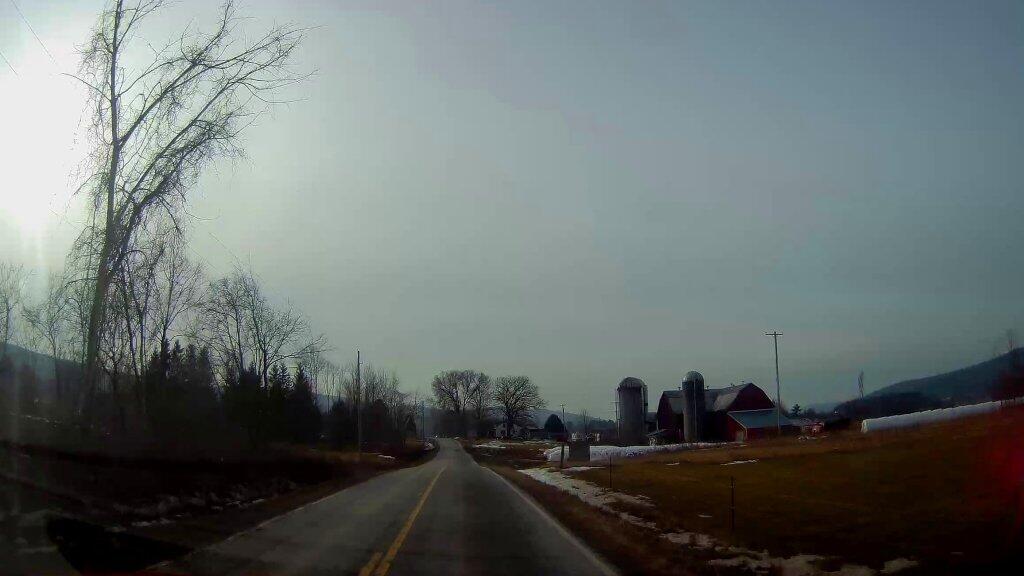
Farm On County Route 32
Just one of many farms I passed on my Central New York Road trip. On the afternoon heading back this way, I saw them putting milk in the bulk tanker truck, ready to haul it to market. Garelick Farms was their co-op, so I guess it's going back to Albany.
Monday December 30, 2019 — Notes — Alma Pond 🗺 — Dobbins Memorial State Forest 🗺 — Little John Wildlife Management Area 🗺 — Otter Lake 🗺 — South Hill State Forest (Oneida 23) 🗺 — Summer Hill State Forest 🗺 — West Parishville State Forest 🗺— PDF with All Maps 📚