
Day: August 5, 2021💾

🖼️ Photos 📽️ Videos
Map: Grass River - Tooley Pond Area
Map: Empire State Topography

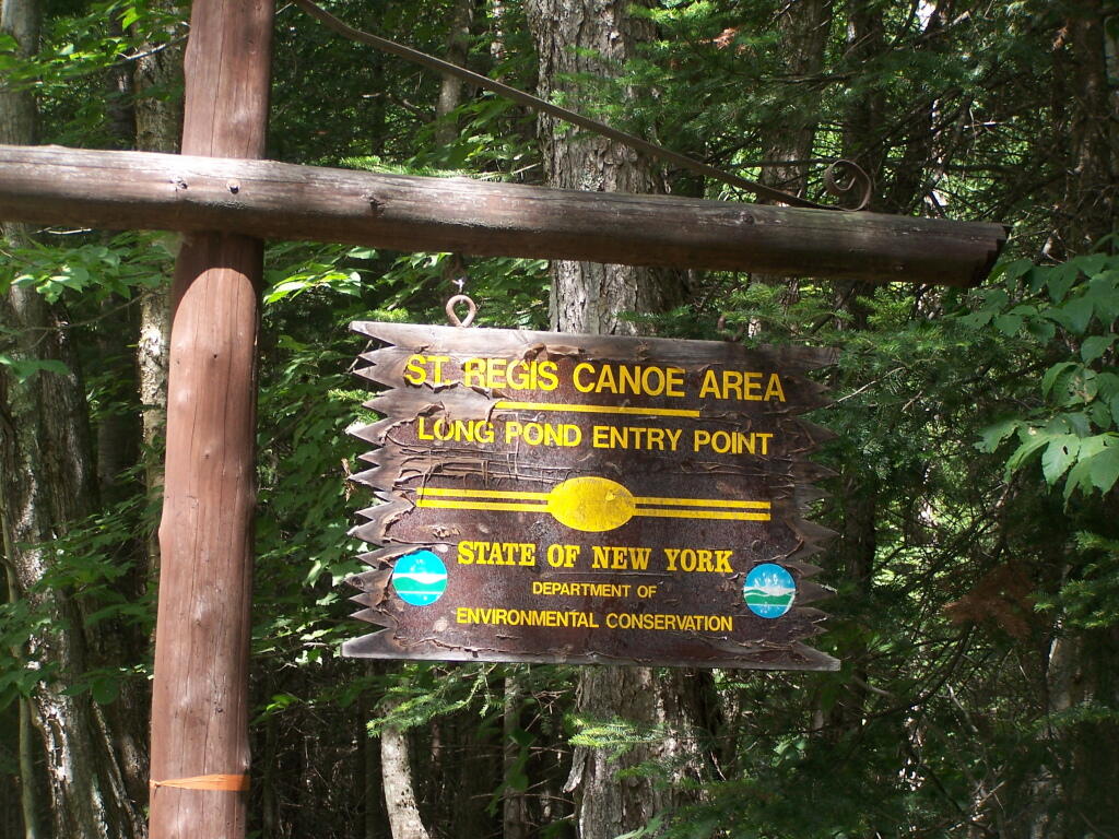
Long Pond Entrance

While I didn't get a chance to haul my kayak into Long Pond, and do some paddling around there, this is the access point fo the Saint Regis Canoe area. It looked very popular.

Saturday August 14, 2010 — Long Pond to Hoel Pond Loop
Thematic Map: Pennsylvania Population Density
Map: Susquehanna State Forest
OpenStreetMap: One of the World's Largest Collaborative Geospatial Projects - GIS Lounge