

Day: August 3, 2021💾

🗺️ Maps 🖼️ Photos 📽️ Videos
Terrain Map: Mohawk Noses and Gravel Pit in 1956
Terrain Map: Otselic Valley
Map: Wolf Creek Road

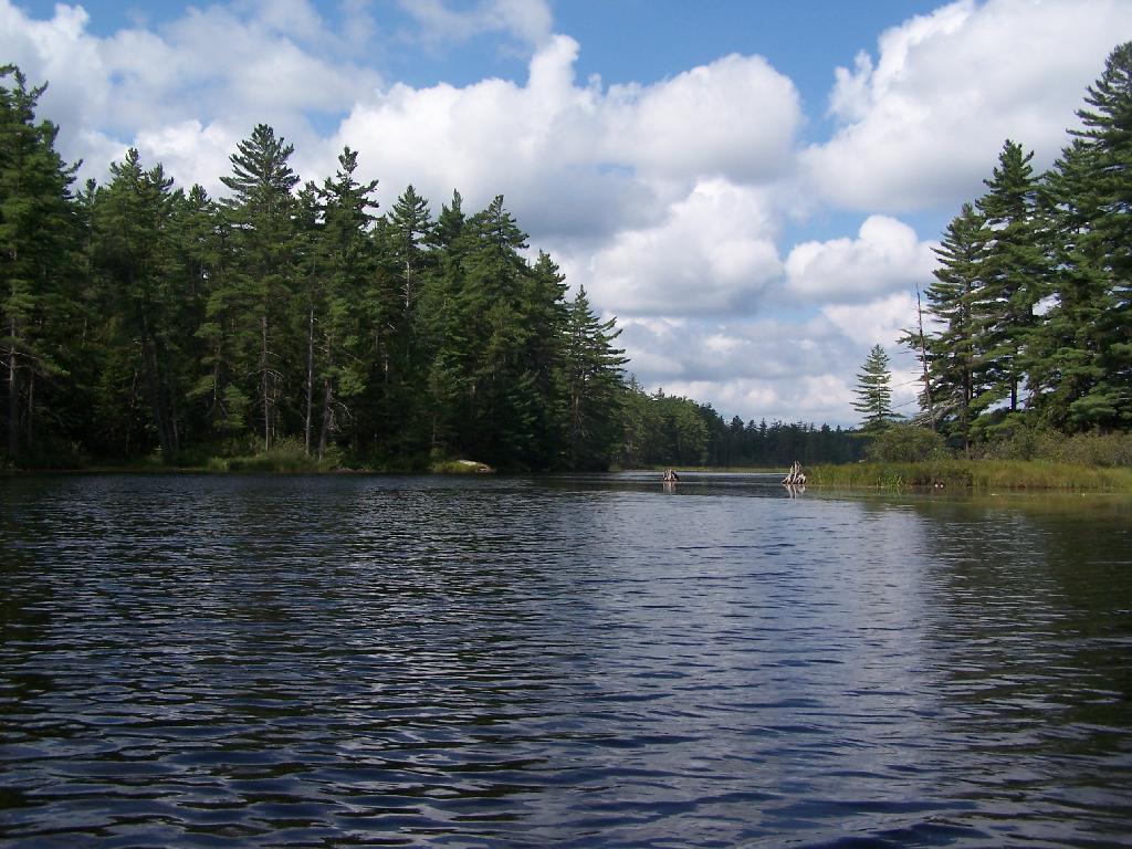
Entering Hitchens Pond

Just past here, is a hairpin turn, as the flooded River, winds a bit, and becomes a much larger lake, in the form of a series of bays and marshes.

Friday August 13, 2010 — Hitchens Pond

SVGZ Graphic: Households Recieving Cash Welfare or Food Stamps