US Route 9 in New York State currently has 11 suffixed routes. 🚗 🛣
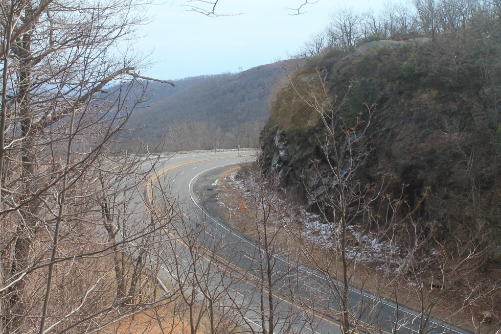
U.S. Route 9W (US 9W) (141.83 mi or 228.25 km) is a north–south U.S. Highway in the states of New Jersey and New York. It begins in Fort Lee, New Jersey, as Fletcher Avenue crosses the US 1–9, US 46, and the Interstate 95 (I-95) approaches to the George Washington Bridge, and heads north up the west side of the Hudson River to US 9 in Albany, New York.
NY 9A (47.49 miles or 76.43 kilometres) is an alternate route of US 9 through Manhattan and Westchester County.
NY 9B (5.97 miles or 9.61 kilometres) is a spur in Clinton County linking US 9 in Chazy to US 11 in Rouses Point.
NY 9D (25.21 miles or 40.57 kilometres) is an alternate route of US 9 between the Bear Mountain Bridge and Wappingers Falls.
NY 9G (42.77 miles or 68.83 kilometres) is an alternate route of US 9 from Poughkeepsie, Dutchess County, to Hudson, Columbia County.
NY 9H (18.77 miles or 30.21 kilometres) is an easterly alternate to US 9 between Bell Pond and Valatie.
NY 9J (22.38 miles or 36.02 kilometres) is an alternate route of US 9 from Columbiaville to Rensselaer. NY 9J follows a more westerly alignment than US 9 to serve a series of communities along the Hudson River.
NY 9L (18.54 miles or 29.84 kilometres) is a loop off of US 9 between Glens Falls and Lake George in Warren County.
NY 9N (143.13 miles or 230.35 kilometres) is a lengthy alternate route of US 9 between Saratoga Springs and Keeseville. NY 9N is the longest suffixed route in New York.
NY 9P (12.17 miles or 19.59 kilometres) is a loop route connecting US 9 to Saratoga Lake southeast of Saratoga Springs.
NY 9R (3.21 miles or 5.17 kilometres) is a short loop serving Colonie in northeast Albany County.
Note: This post draws heavily from the Wikipedia article, “US Route 9 in New York”. https://en.m.wikipedia.org/wiki/U.S._Route_9_in_New_York


1 Comment
Do you know the history of all these “suffixed” routes and why they exist vs. using a different number?