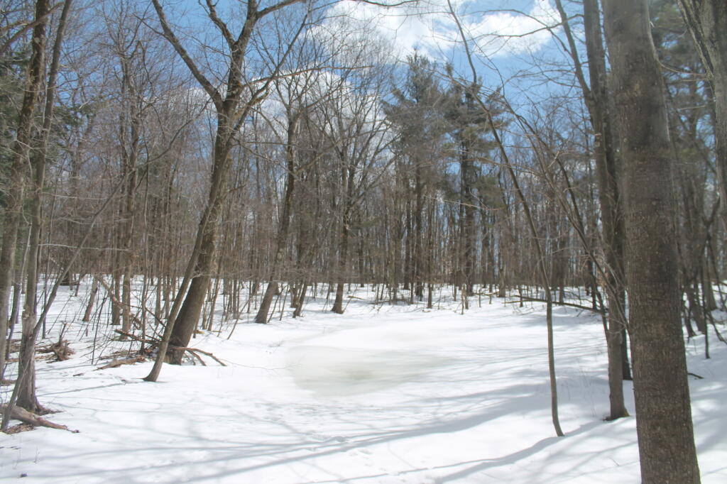
Opal Pond in the Winter 🖼️
Download a JPEG Image of the Opal Pond in the Winter.
Opal Pond in the Winter ...
Taken on Saturday March 30, 2013 at Beebe Hill State Forest.

More about Beebe Hill State Forest...
Beebe Hill State Forest (in the Columbia County town of Austerlitz) was established in 1963 and is the home of the Beebe Hill fire tower, erected in 1964 and operated through 1987. Recent history has seen the protection of over 3,000 acres of state forests in Columbia County. The 60-foot-tall fire tower was originally constructed on Alander Mountain in the Berkshires in 1928. Five years later it was moved to Washburn Mountain in Columbia County, where it stood until it was moved to Beebe Hill in 1964. Harvey Mountain State Forest, to the east, was purchased in 1999 and adjoins Beebe Hill State Forest.
http://www.dec.ny.gov/lands/66460.html


