Parked On Road 🖼️
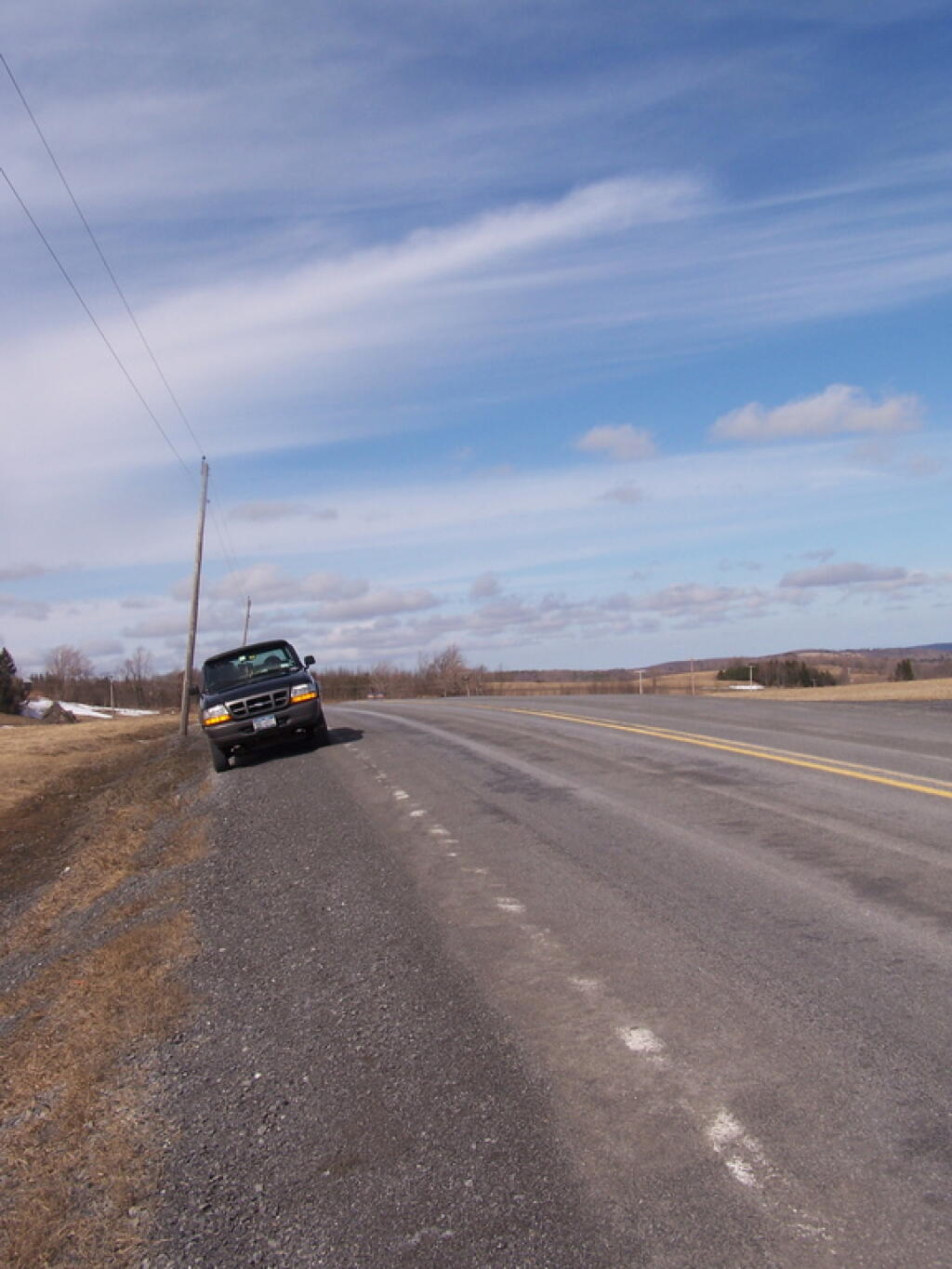
Download a JPEG Image of the Parked On Road.
Parked On Road ...
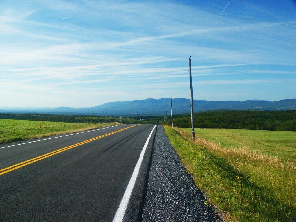
Taken on Friday March 13, 2009 at Route 358.

More about Route 358...
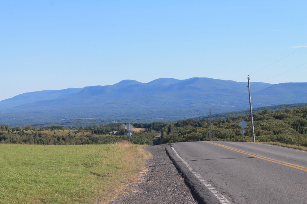
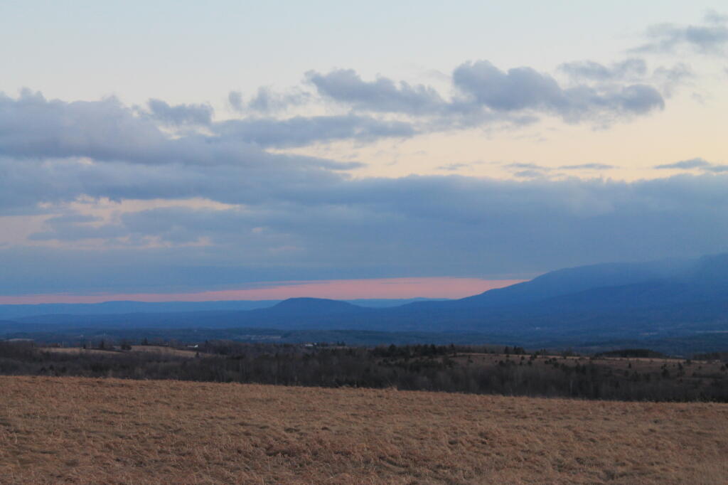
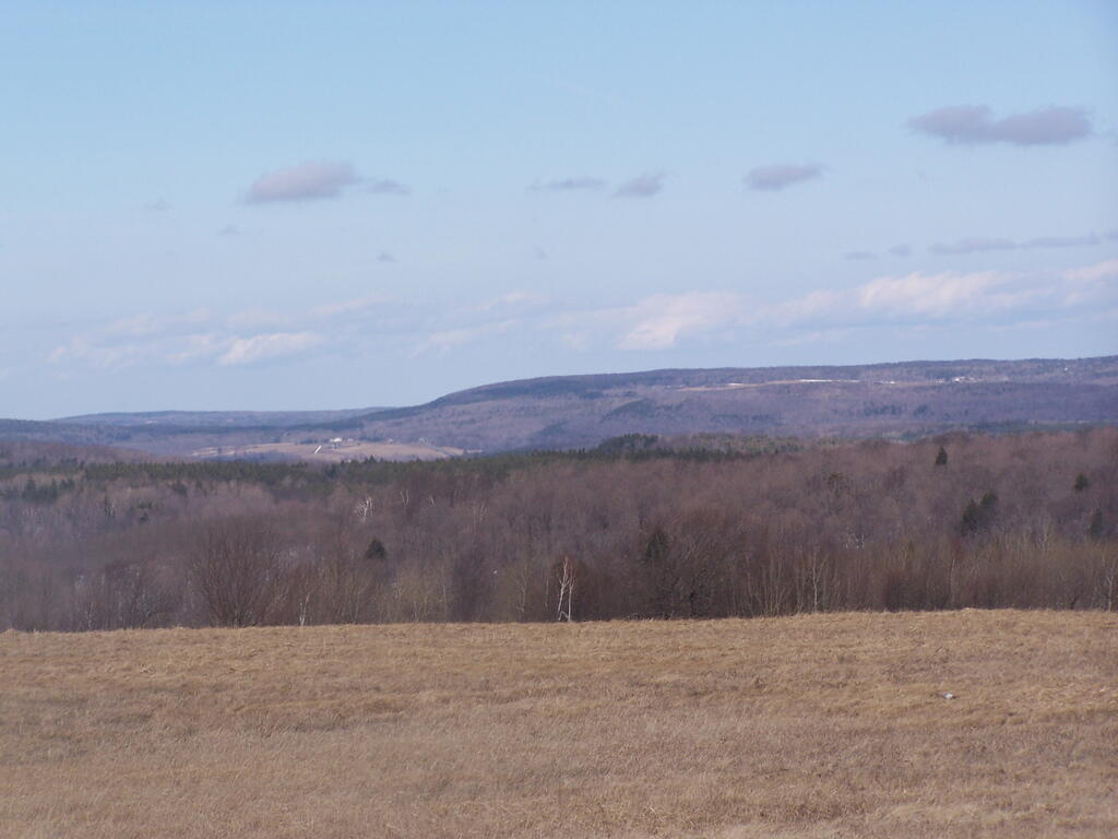
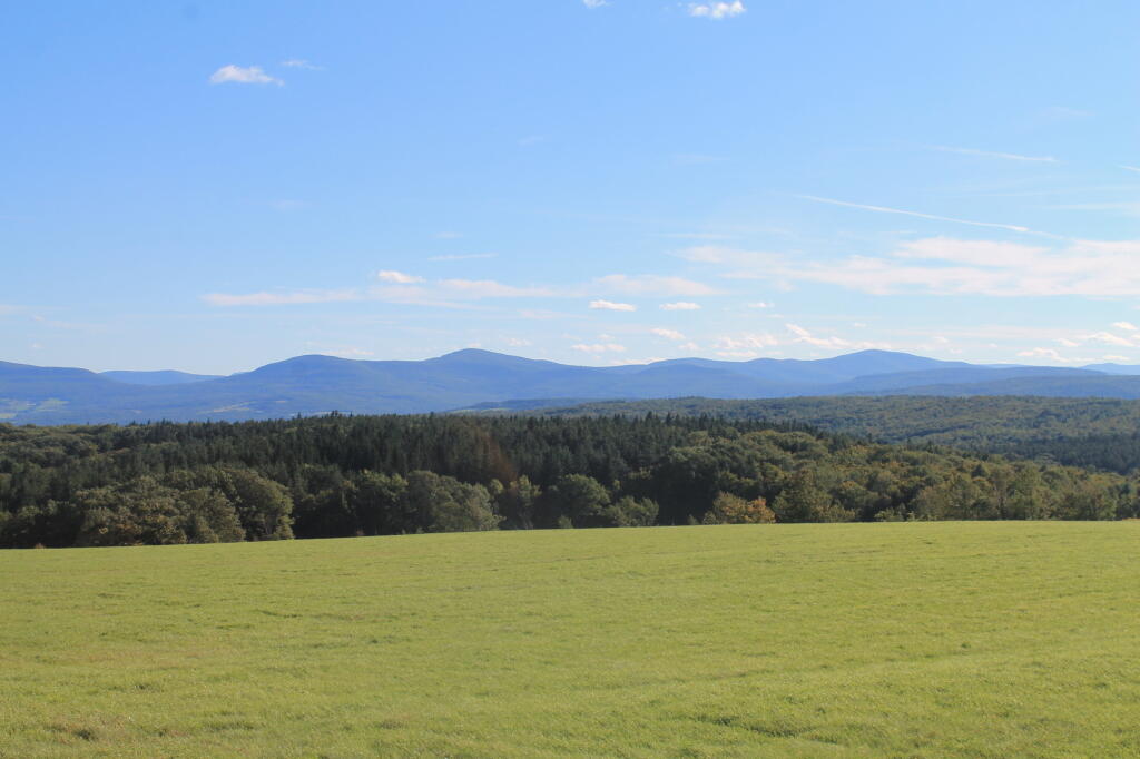
Route 358 runs from from Hauverville Road in Rensselearville to Fox Creek Road, it has some nice views of the Catskills and Rensslearville State Forest. A short portion of it also passes through Rensselearville State Forset.