March 11, 2017 – Snowfall Predictions

“It never snows in Albany but when it does, it really snows.” 

12.6 inches of snow expected between Tuesday 1:00 AM and Wednesday 6:00 AM. The morning commute on Tuesday will be sloppy but it’s the evening that is expected to be really bad. Wednesday morning won’t be as bad because the crews will already have the worse removed. Here is how I estimate it will pile up from this storm:

  • 1 inch – Tuesday 4 AM
  • 2 inches – 7 AM
  • 3 inches – 8 AM
  • 4 inches – 9 AM
  • 5 inches – 10 AM
  • 6 inches – 12 PM
  • 7 inches – 1 PM
  • 8 inches – 4 PM
  • 9 inches – 6 PM
  • 10 inches – 8 PM
  • 11 inches – 11 PM
  • 12 inches – Wednesday 3 AM
Map: Alma Pond
Map: Dobbins Memorial State Forest
Map: Little John Wildlife Management Area
Map: Otter Lake
Map: South Hill State Forest (Oneida 23)
Map: Summer Hill State Forest
Map: West Parishville State Forest
SVGZ Graphic: albany-snow-depth
SVGZ Graphic: college-rate
SVGZ Graphic: december-holidays
SVGZ Graphic: ht2025
SVGZ Graphic: lt2025
SVGZ Graphic: Places Named Bethlehem
SVGZ Graphic: Towns with Most Similiar Land Cover to the Town of Bethlehem
Terrain Map: Happy World Milk Day!
Photo: Stairs
Photo: Bully Hill Road
Photo: View from Overlook
Photo: Northview
Photo: Gate House
Photo: Misty Afternoon
Photo: Black Eye Susans are out
Photo: Hurry fast, colors won't last
Photo: Rangers Cabin
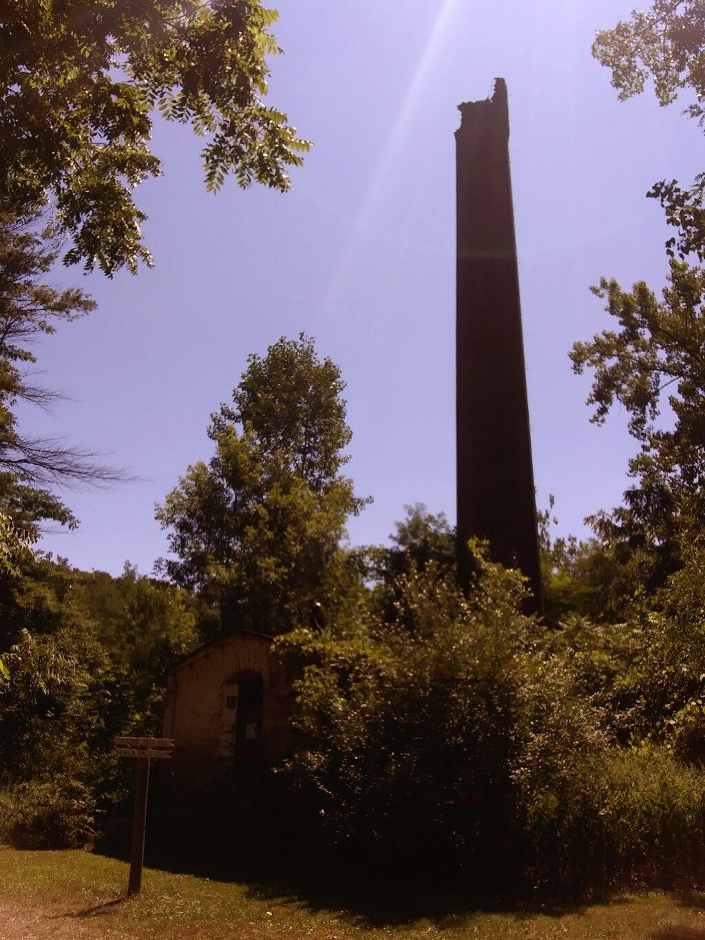
Photo: Kenka Mills Ruins

Leave a Reply

Your email address will not be published. Required fields are marked *