Western NY 

Between 1970 and 2010, Erie County (Buffalo Metropolitan Area) lost 194,451 residents. That’s equal to the entire current population of the Cities of Albany and Watervliet and the Towns of Colonie and Green Island combined.

Map: Alma Pond
Map: Dobbins Memorial State Forest
Map: Little John Wildlife Management Area
Map: Otter Lake
Map: South Hill State Forest (Oneida 23)
Map: Summer Hill State Forest
SVGZ Graphic: albany-snow-depth
SVGZ Graphic: college-rate
SVGZ Graphic: december-holidays
SVGZ Graphic: ht2025
SVGZ Graphic: lt2025
SVGZ Graphic: Places Named Bethlehem
SVGZ Graphic: Towns with Most Similiar Land Cover to the Town of Bethlehem
Terrain Map: Happy World Milk Day!
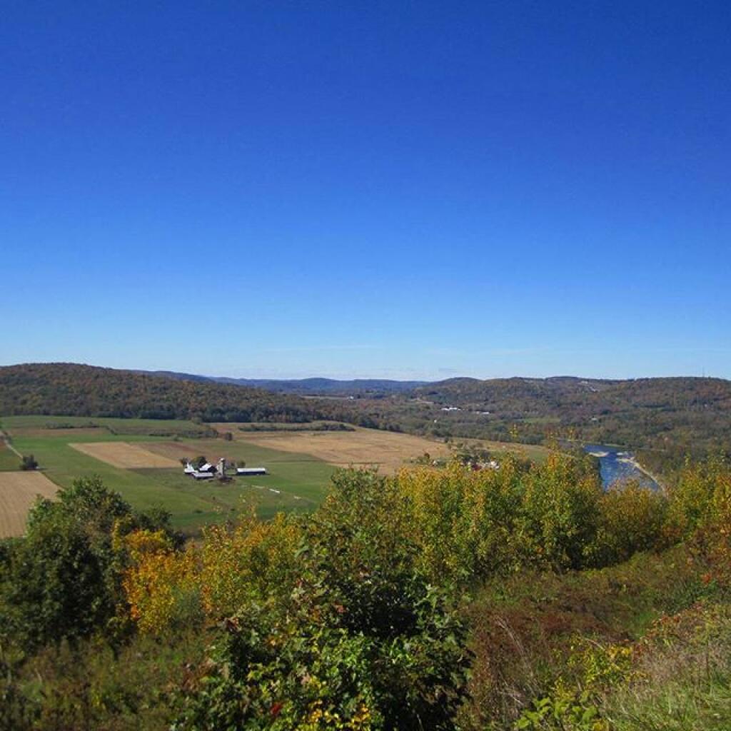
Photo: Still pretty green here
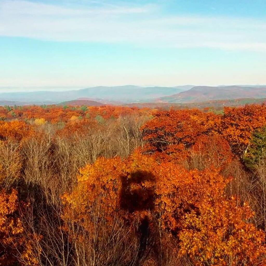
Photo: Seasonal shadow
Photo: Almost Taste This Picture
Photo: Hammock View!  - Wide Screen
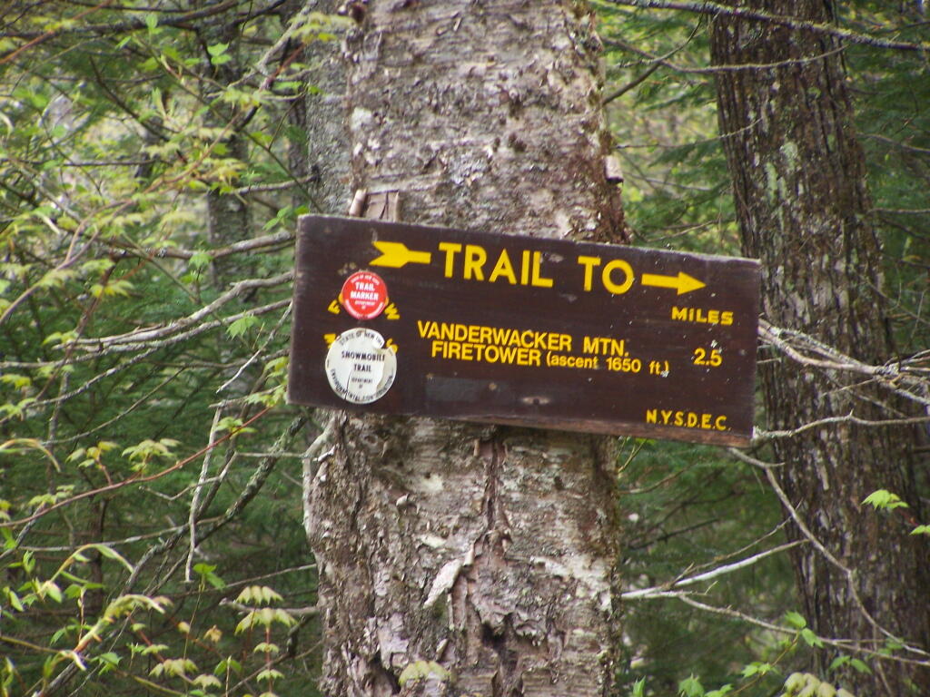
Photo: 2.5 Miles to Vanderwhacker Firetower
Photo: Edge
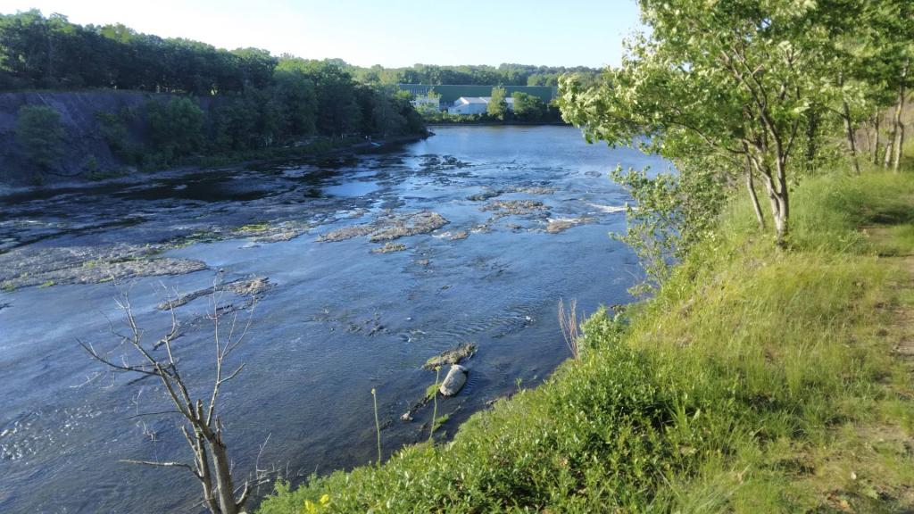
Photo: Low head dam
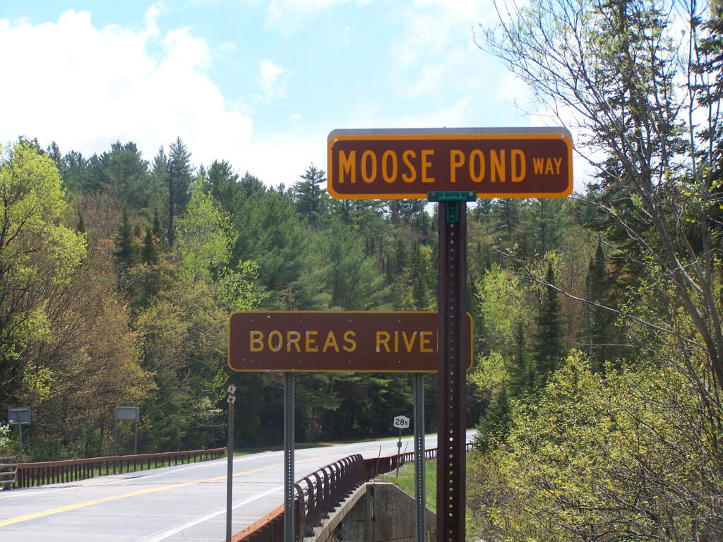
Photo: Moose Pond Way
Photo: Clams, shrimp and sweet corn for lunch
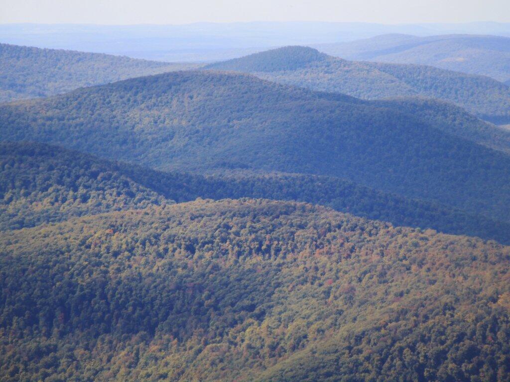
Photo: Mount Ginseng

Leave a Reply

Your email address will not be published. Required fields are marked *