West Virginia Trip 2015
About West Virginia Trip 2015 ....
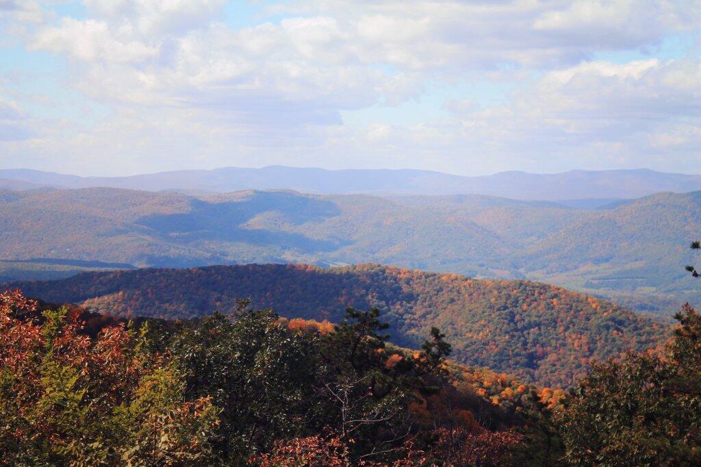
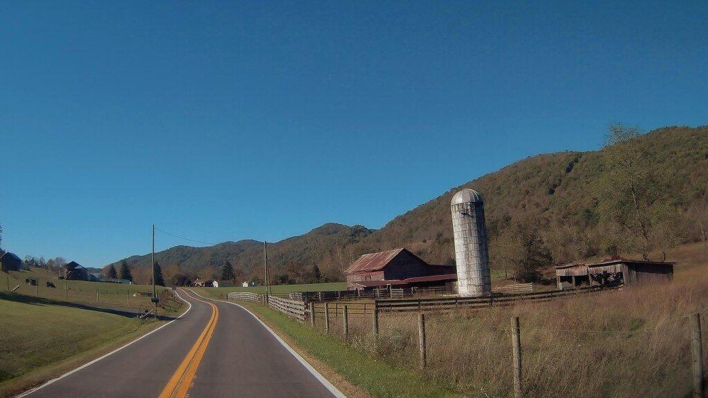
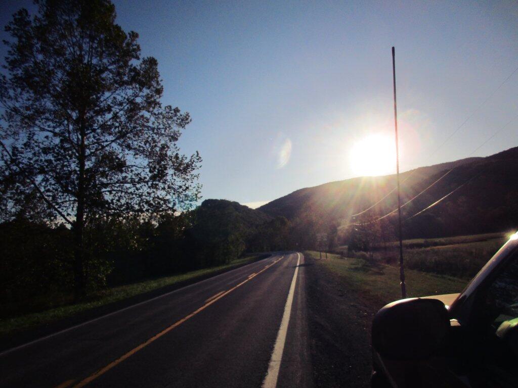
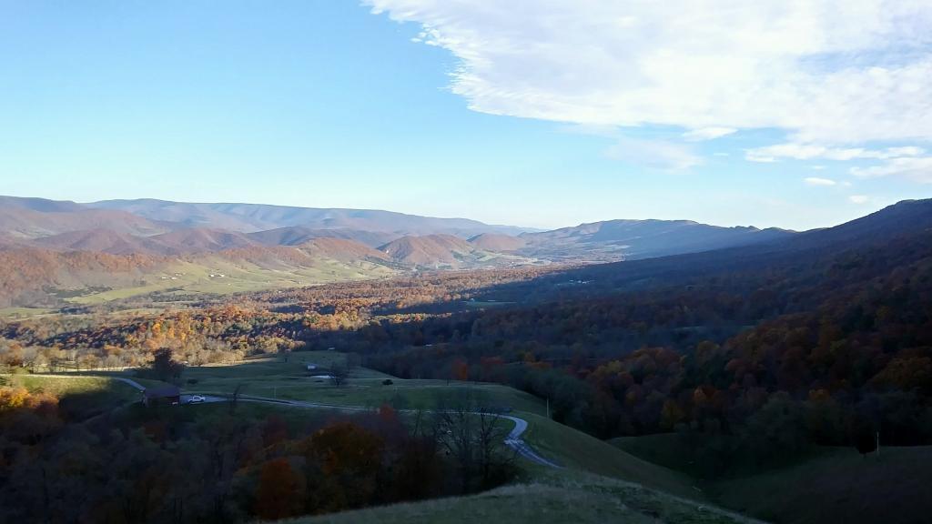
Here is a map of the route I took across West Virginia last fall, including the places I camped in the Monongahela National Forest, along with some of the scenic locations that I visited.
Helpful Hint: While I suggest you look on blog for a downloadable PDF Map, you should be able to print or save this map by clicking the print button on the map above.
Data Sources
West Virginia Trip 2015 - You can download the KMZ File used in creation of this map.
3DEP Elevation Hillshade. LIDAR and legacy USGS DRG Topo Derived hillshades used as a background. DEM - WMS Service: https://elevation.nationalmap.gov/arcgis/services/3DEPElevation/ImageServer/WMSServer, Layer: 3DEPElevation:Hillshade Gray
Full List of WMS and ArcMap Services - CSV Spreadsheet with all web map services currently used on the blog.
More about West Virginia...
West Virginia, nestled in the Appalachian region of the United States, captivates with its diverse landscapes, from rolling hills to rugged mountains. This webpage centers on free camping opportunities within the Mongonghella and George Washington National Forests, inviting adventurers to embrace the state's natural wonders. With a focus on hiking, biking, kayaking, and more, West Virginia offers a spectrum of outdoor activities. The majestic forests and pristine waterways of the national forests provide an idyllic backdrop for camping and exploration. From traversing scenic trails to embarking on cycling escapades, the state caters to various interests. West Virginia's tranquil lakes and rivers beckon kayakers and water enthusiasts, ensuring unforgettable experiences. Amidst the Appalachian splendor, West Virginia stands as an outdoor haven where nature's beauty and recreational pursuits harmonize to offer an enriching and memorable adventure.
https://www.wikiwand.com/en/West_Virginia