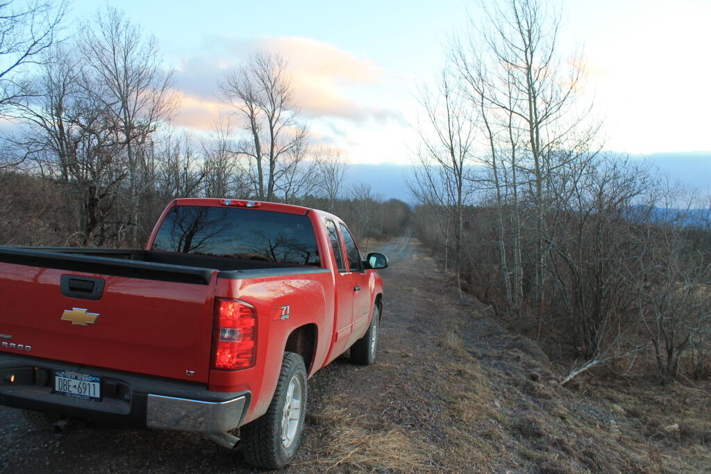
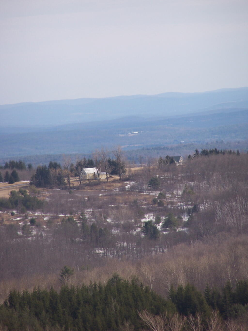
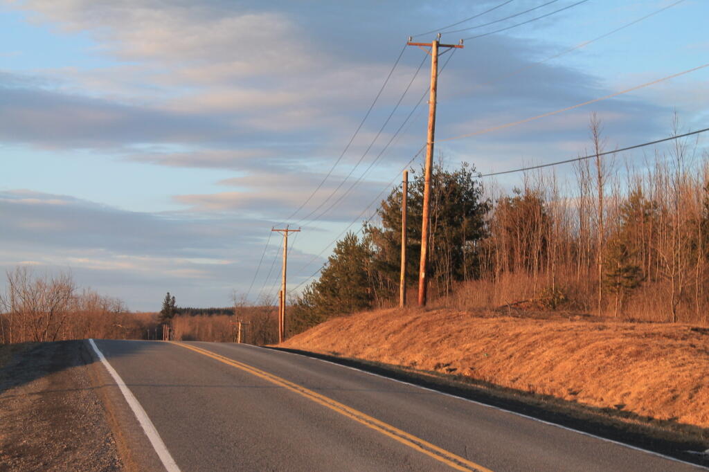
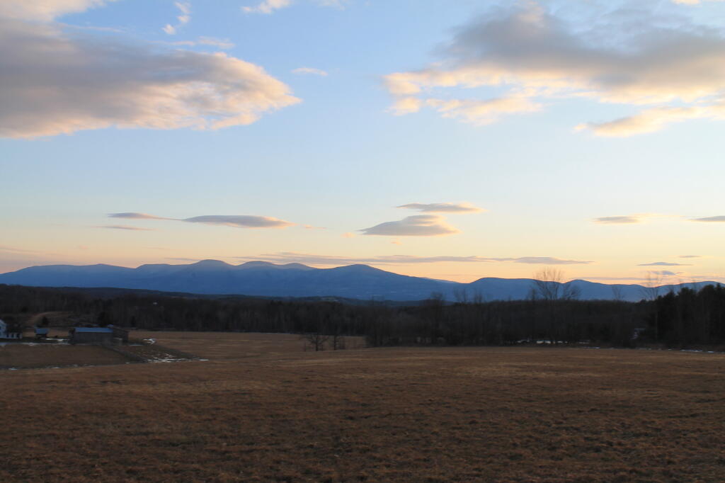
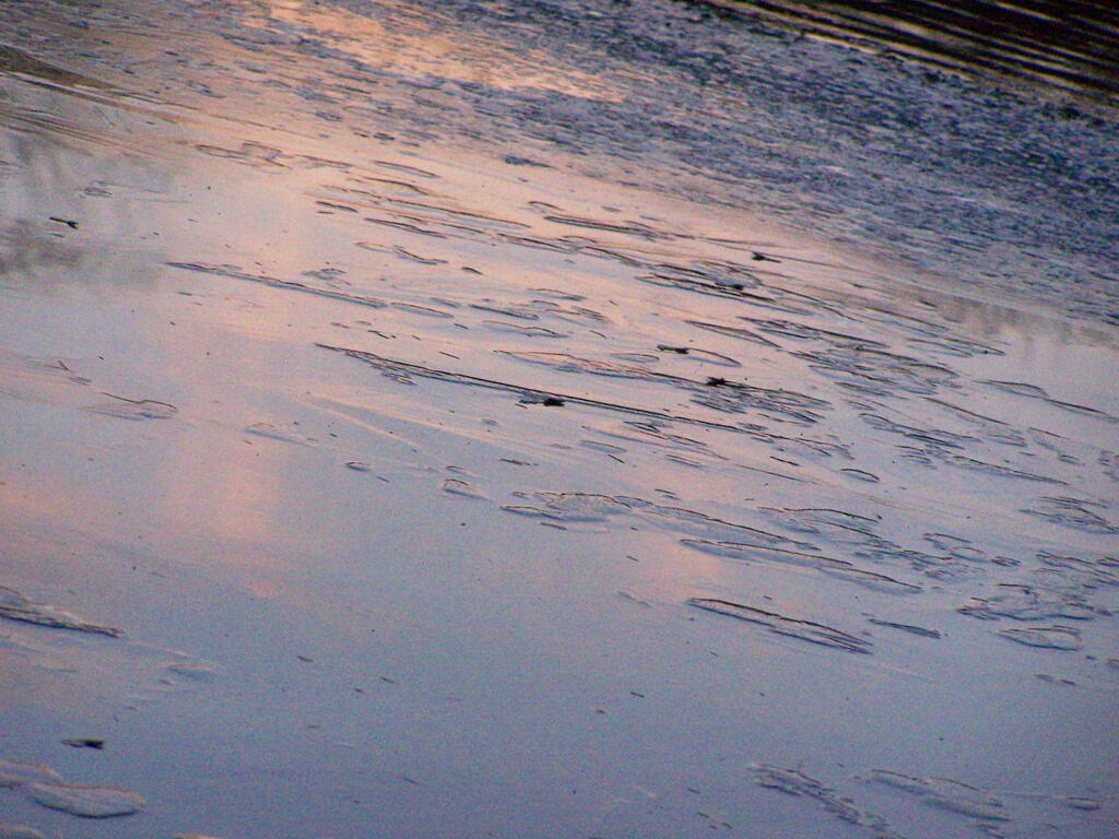
Afternoon 🖼️
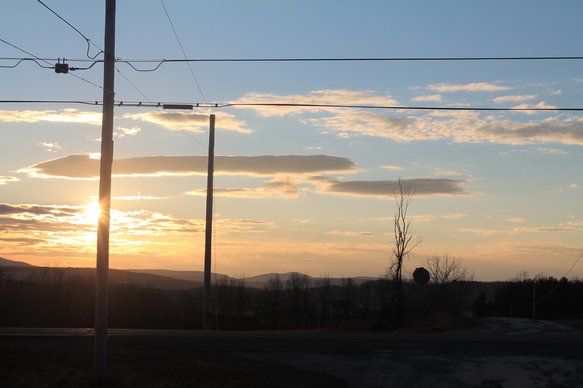
Download a High Resolution JPEG Image of the Afternoon or an Adobe Acrobat Printable PDF of the Afternoon.
Afternoon ...
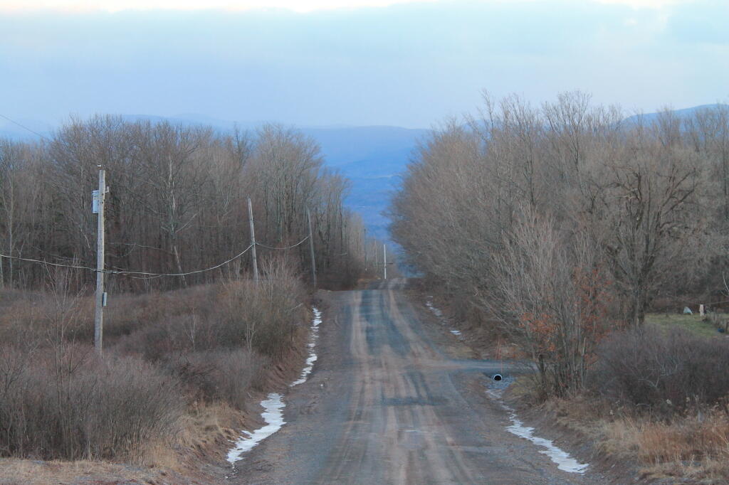
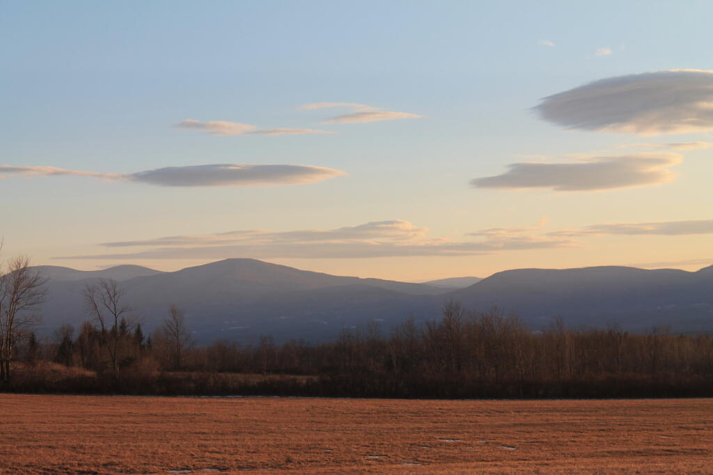
Taken on Saturday January 28, 2012 at Rensselearville.

More about Rensselearville...
Rensselaerville is a rural town in the southwest corner of Albany County, New York. The population was 1,843 at the 2010 census. The town is named after Stephen Van Rensselaer. It is 61.9 square miles. Hamlets include Cooksburg, Medusa, Potter Hollow, Preston Hollow, and Rensselaerville.
The south town line is the border of Greene County, and the west town line is the border of Schoharie County. Catskill Creek and its tributaries, Lake Creek, Fox Creek, Tenmile Creek, and Eightmile Creek, flow through the town.
http://en.wikipedia.org/wiki/Rensselaerville,_New_York