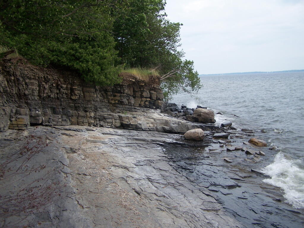
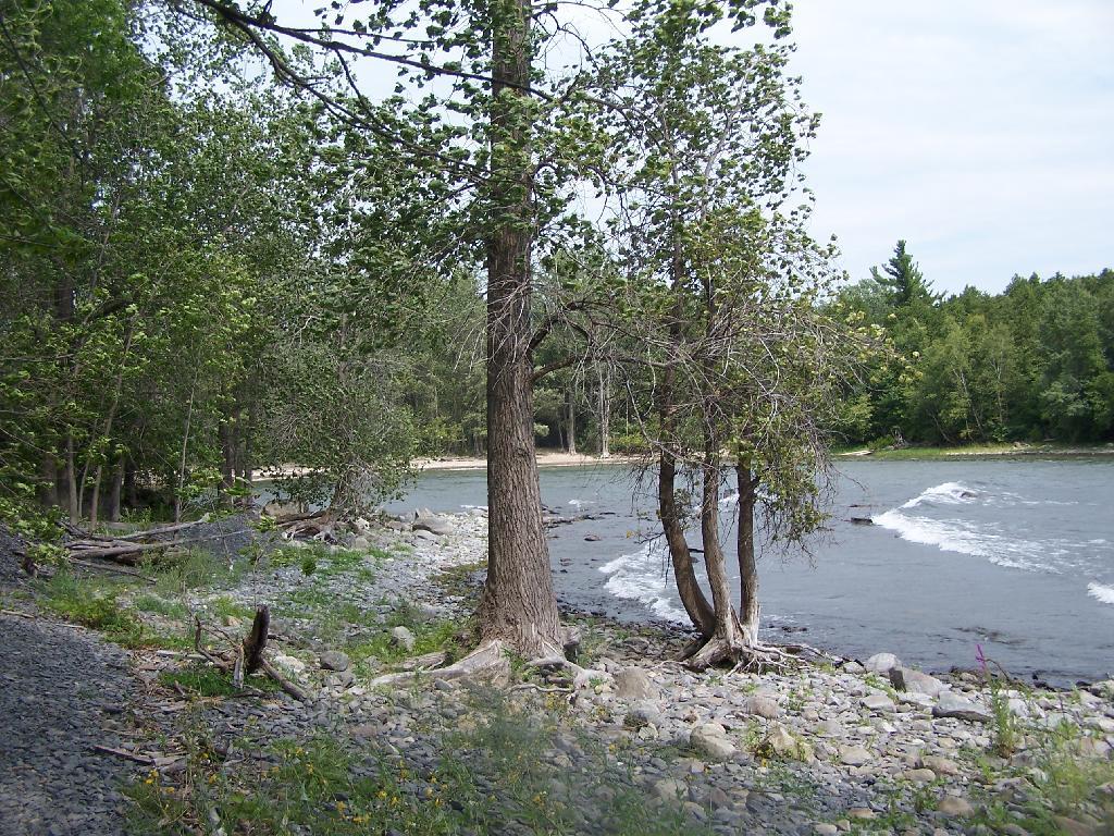
Oily Shoreline 🖼️

Download a JPEG Image of the Oily Shoreline.
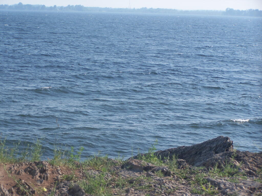
Oily Shoreline ...
I think this oil is naturally occurring from the decomposition of plant material along the shoreline.
Taken on Sunday August 15, 2010 at Point Au Roche.

More about Point Au Roche...
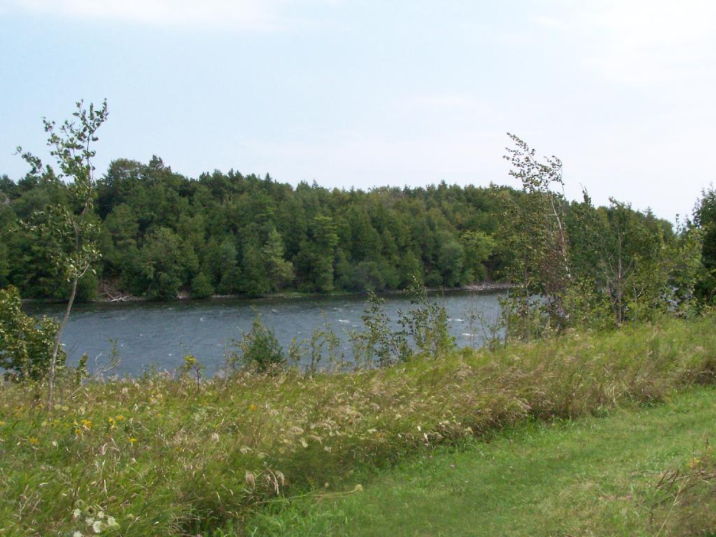
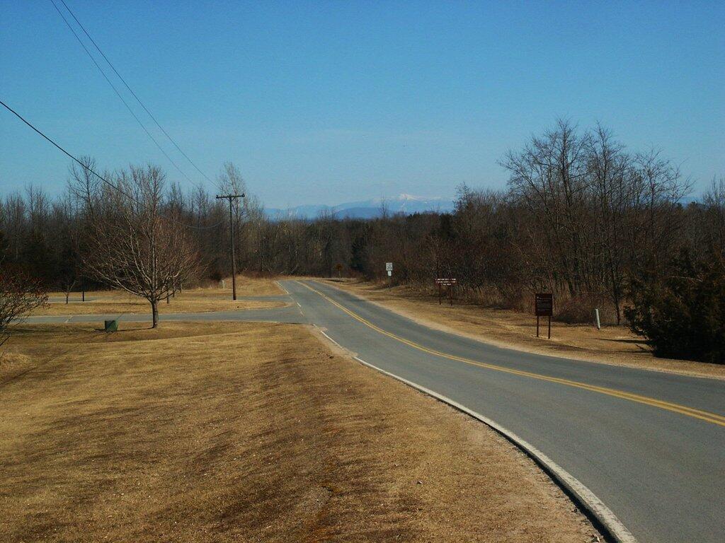
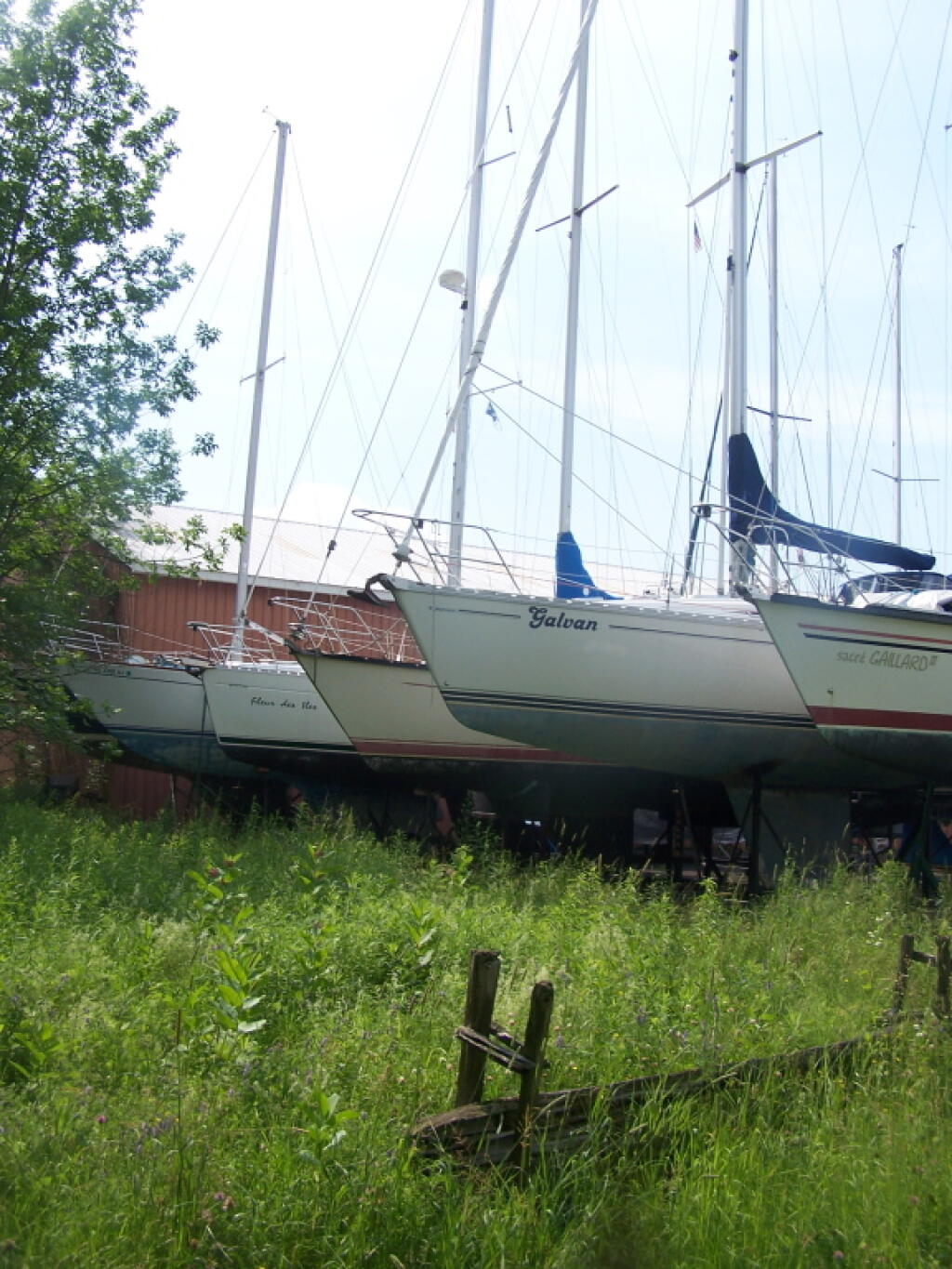
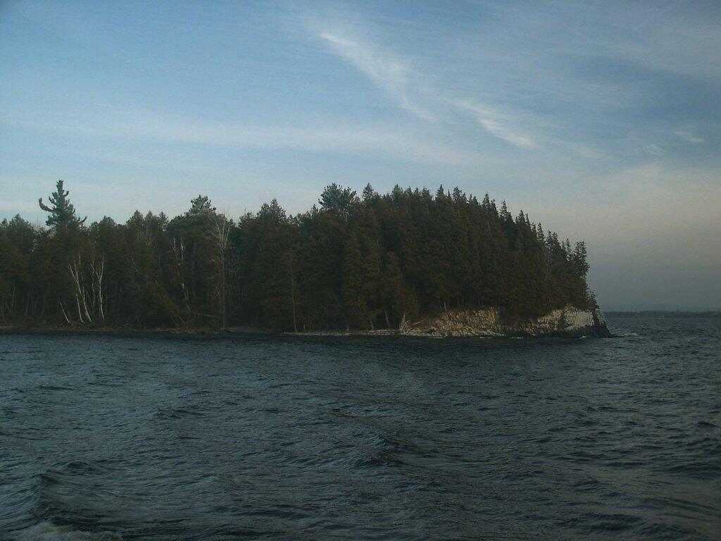
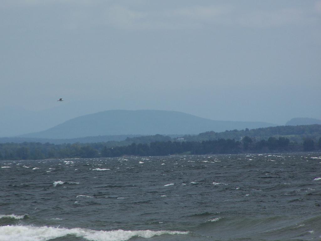
Point Au Roche State Park, on the northwestern shore of Lake Champlain, is a mixture of open and forested areas, most of them natural and undeveloped. The park's large day-use area has a protected, sandy beach, picnic facilities and concession stand. Boating and fishing are popular activities, as are volleyball, softball and other games. The park offers 60 designated mooring sites in Deep Bay. The staffed Nature Center offers a variety of programs open to the public all year. The park's trails, including nature, hiking and biking trails, wind through interesting habitats, from forest to marsh to shoreline. The trails are in use all year for school programs, nature hikes and cross-country skiing. The park also provides access for ice fishing.
http://nysparks.com/parks/30/details.aspx