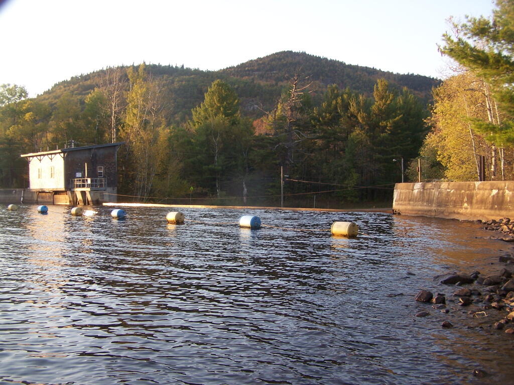
Union Falls Spillway 🖼️
Download a JPEG Image of the Union Falls Spillway.
Union Falls Spillway ...
You don't want to get too close to that with your kayak. Alder Brook Mountains in distance.
Taken on Friday October 7, 2011 at Union Falls Pond.

More about Union Falls Pond...
A 3-mile lake north of Franklin Falls in the southeast part of the Town of Franklin. Offers paddling with breathtaking views of Whiteface Mountain, with several campsites along the lake.


