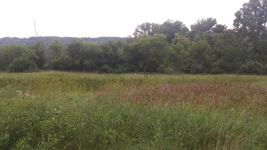
July 25, 2015 evening

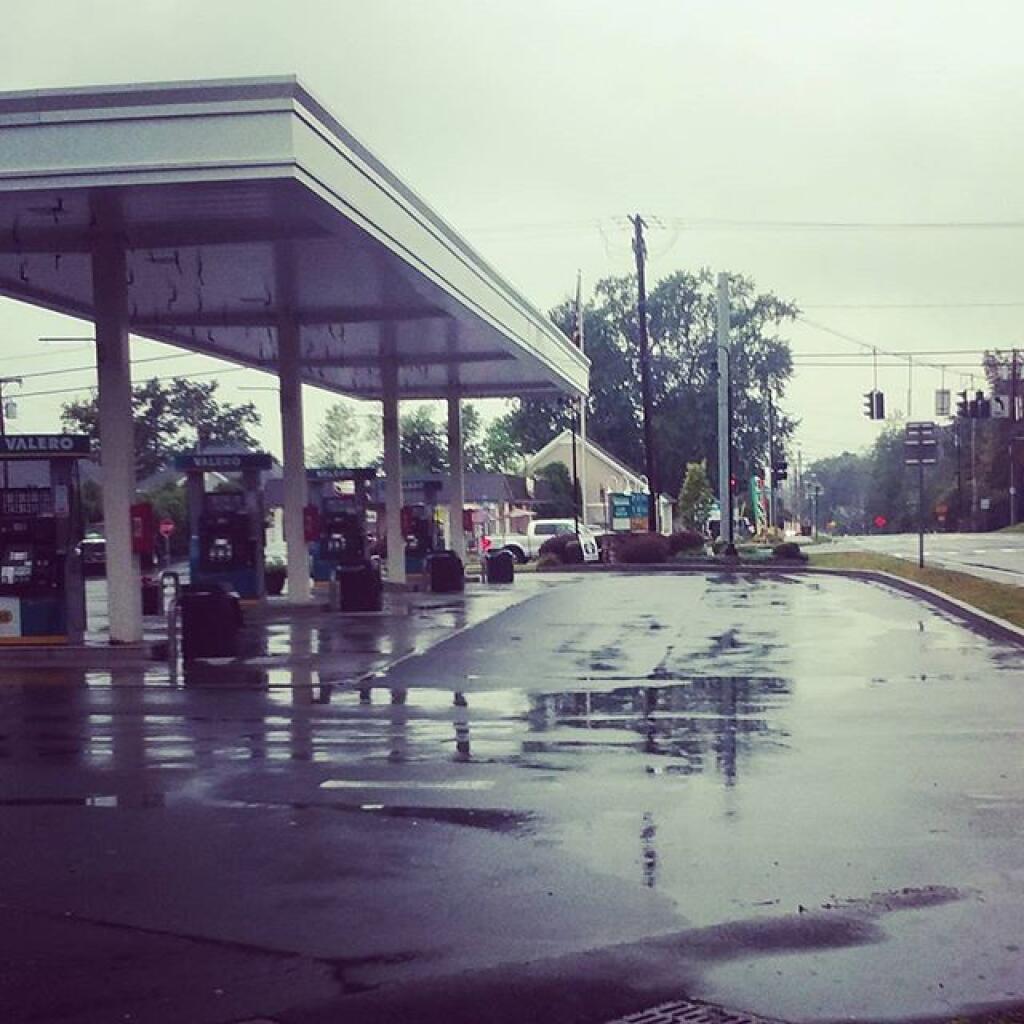
Good evening. Rain and 66 degrees in Smithville Flats. About two hours ago at dusk saw some lightening but it seems like it passed to the north. Thunderstorms and rain expected throughout the night, better weather conditions tomorrow.

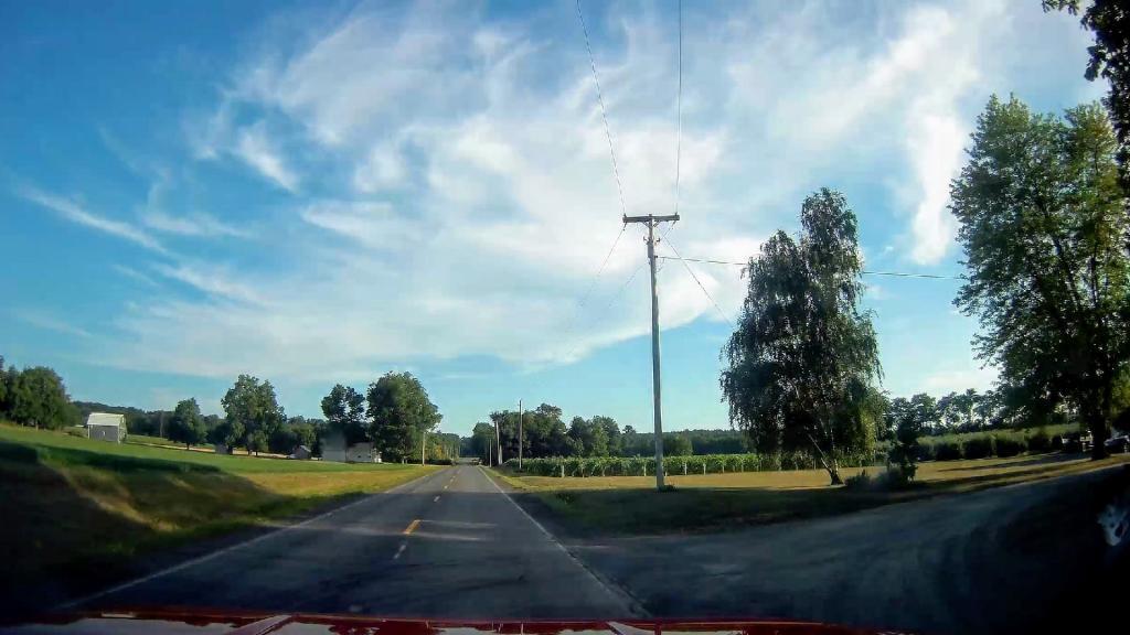
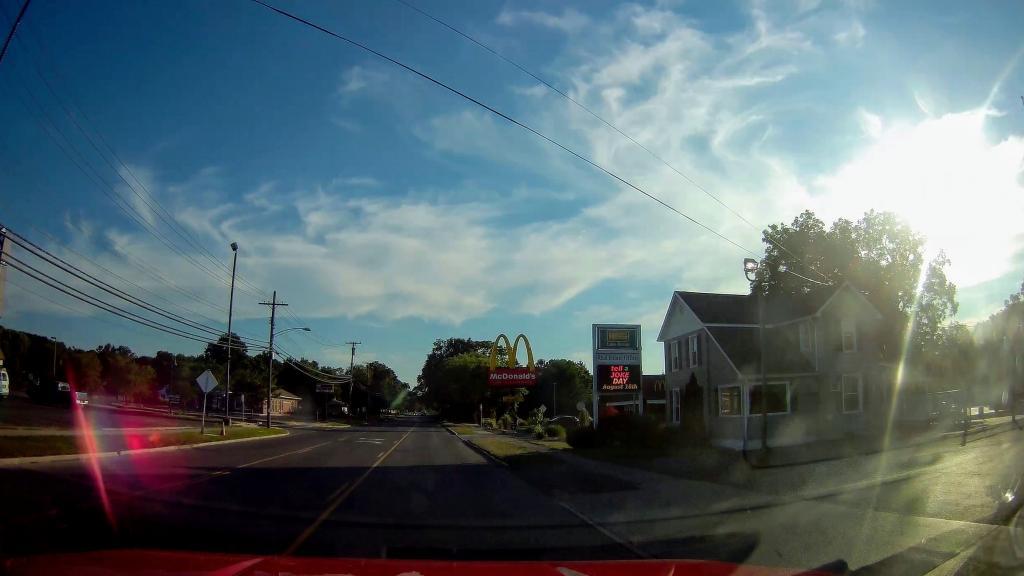
Today I drove out to Smithville Flats / Long Pond via Potters Hollow, Gilboa, Kortwright, Franklinton, Sidney, Unadilla, Greene. My goal was to take two lane roads that were relatively straight and avoid as many pokey villages as possible. I generally feel as though I succeeded, and got to see some small towns and valleys I had never seen before like Sidney.

Map: Alma Pond
Map: Dobbins Memorial State Forest
Map: Little John Wildlife Management Area
Map: Otter Lake
Map: South Hill State Forest (Oneida 23)
Map: Summer Hill State Forest
Map: West Parishville State Forest
SVGZ Graphic: albany-snow-depth
SVGZ Graphic: college-rate
SVGZ Graphic: december-holidays
SVGZ Graphic: ht2025
SVGZ Graphic: lt2025
SVGZ Graphic: Places Named Bethlehem
SVGZ Graphic: Towns with Most Similiar Land Cover to the Town of Bethlehem
Terrain Map: Happy World Milk Day!
Photo: Placid
Photo: Dolly Sods Road
Photo: Mountain View
Photo: North
Photo: Mr. Pratt Keeps A Watchful Eye
Photo: Shit Ton Of Moose Shit On Lye Brook Trail
Photo: Edge of Tower
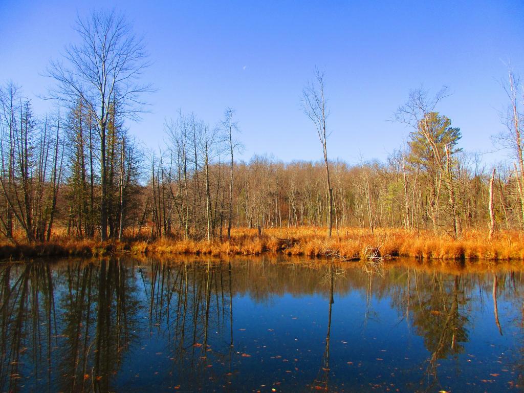
Photo: Wetlands
Photo: Moose Pond Way
Photo: So Many Stairs

Leave a Reply

Your email address will not be published. Required fields are marked *