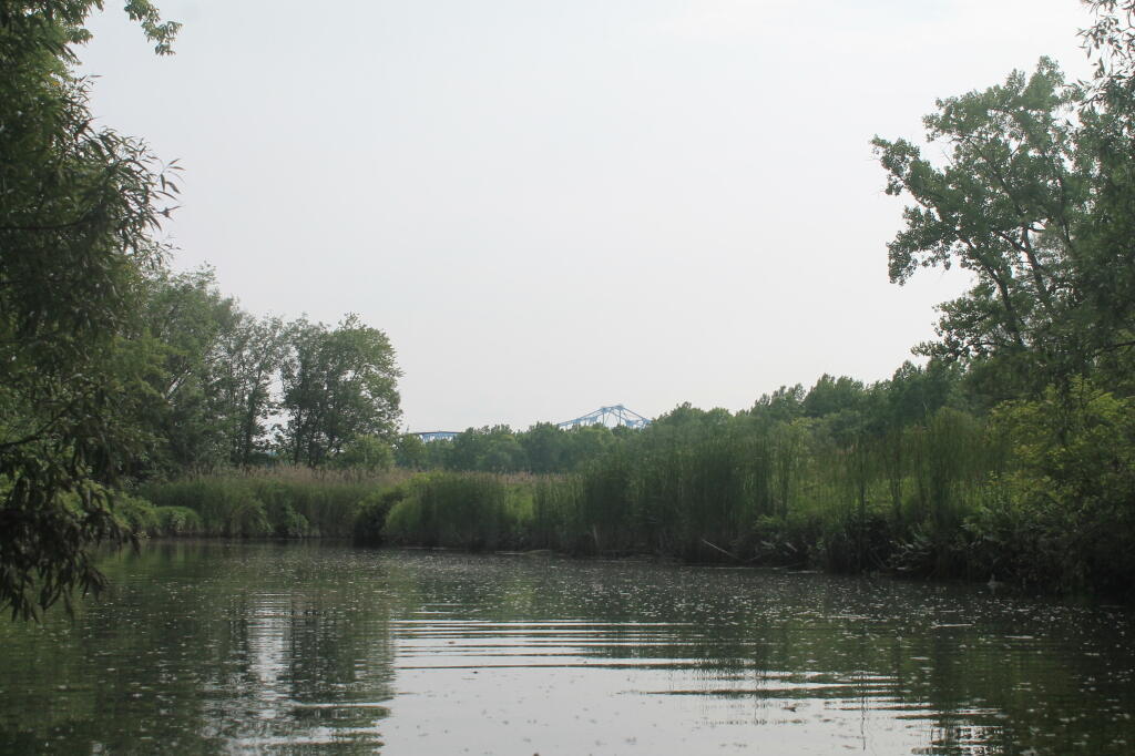
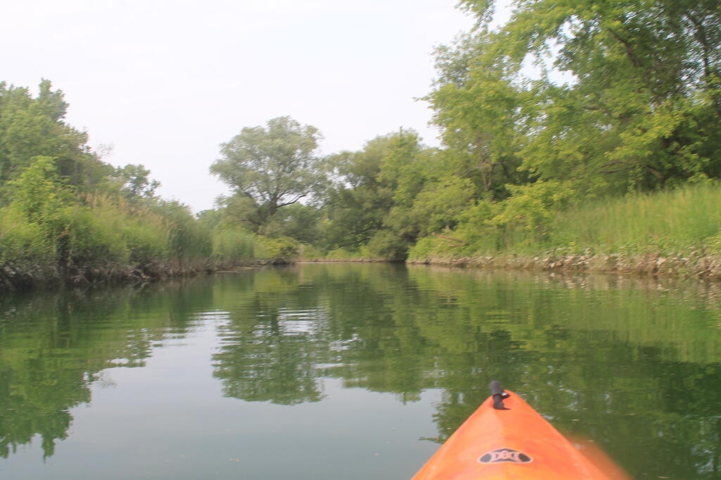
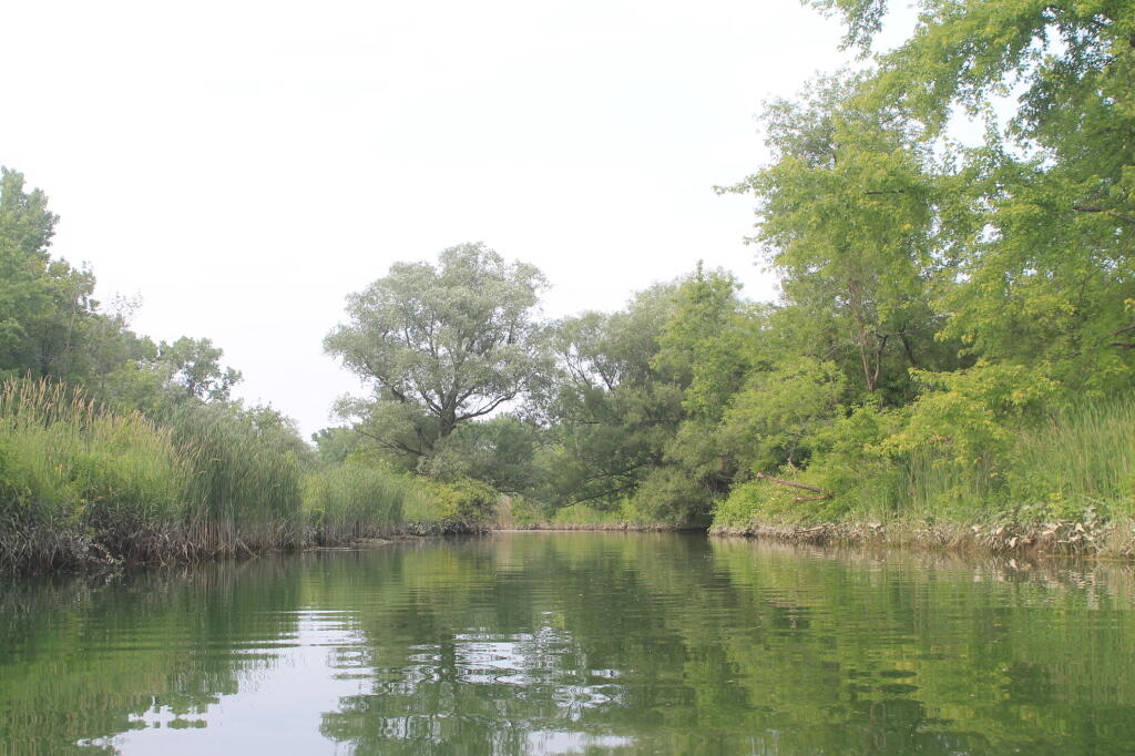
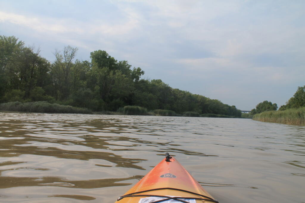
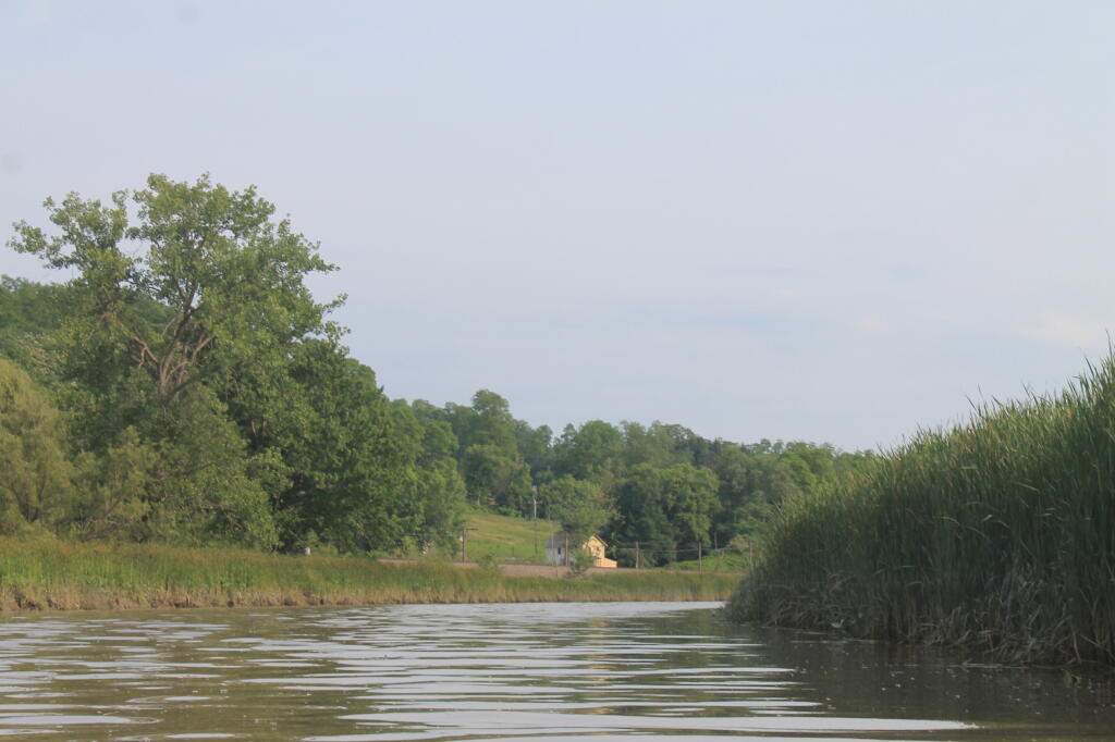
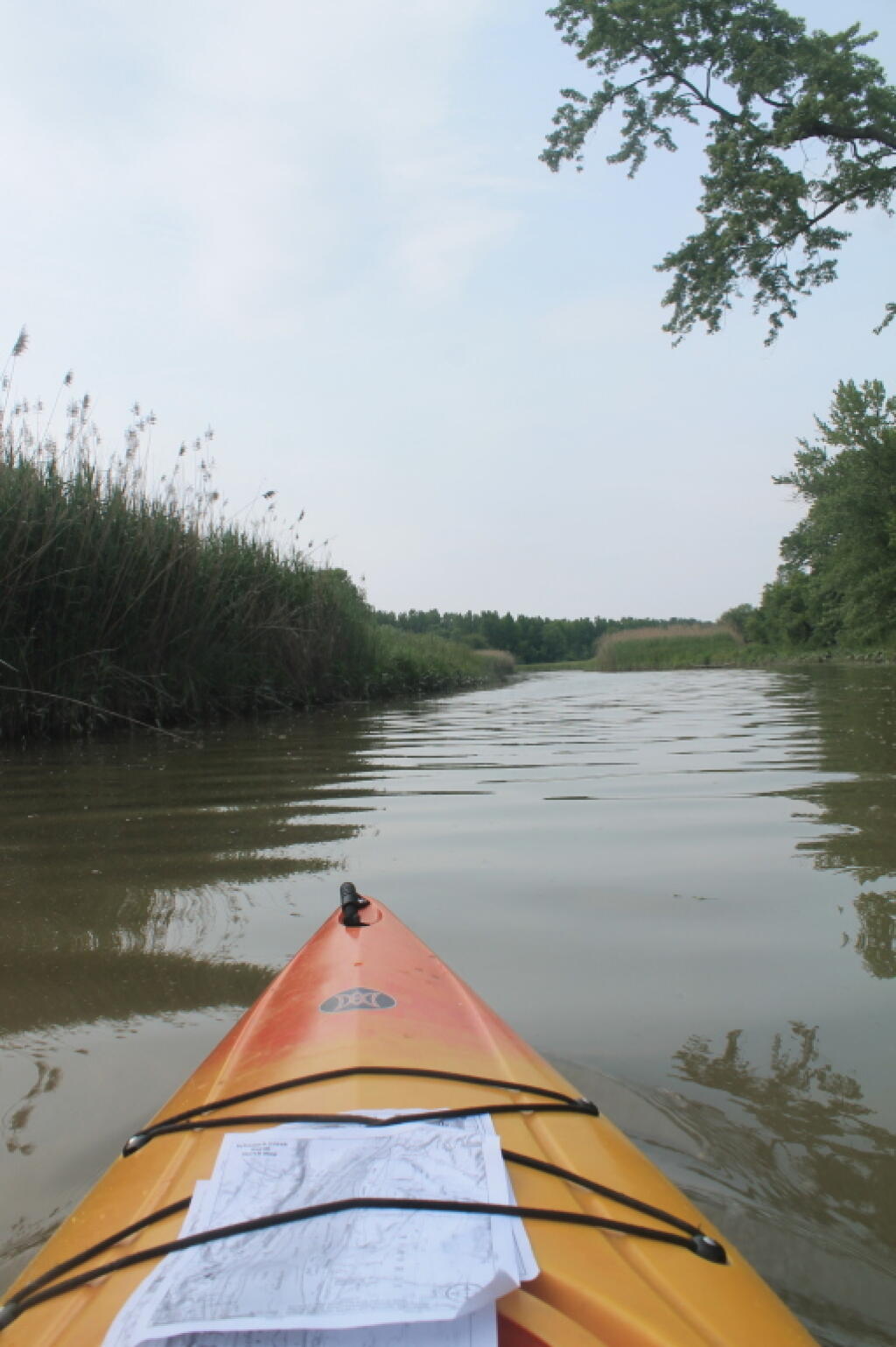
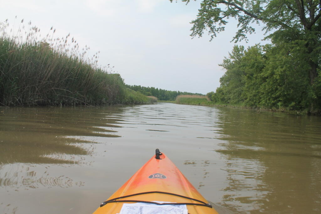
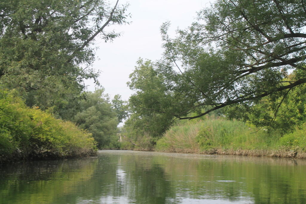
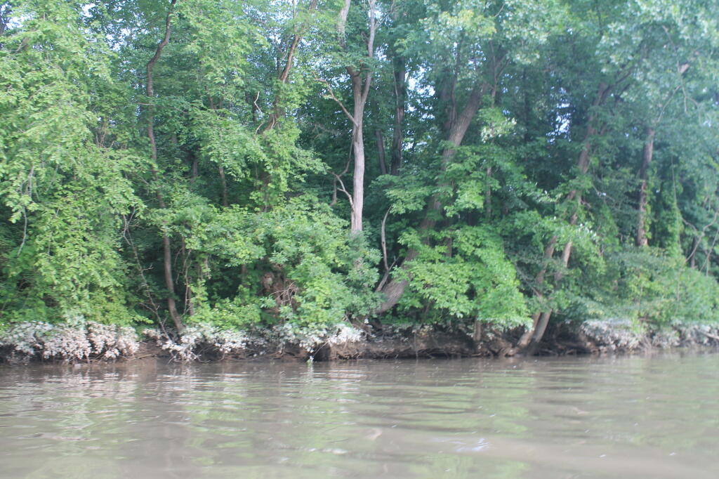
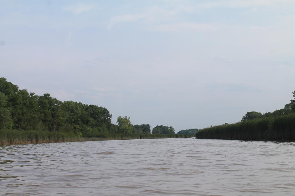
Near the S-Turn 🖼️

Download a JPEG Image of the Near the S-Turn.
Near the S-Turn ...
Taken on Saturday June 22, 2013 at Schodack Creek.

More about Schodack Creek...
Offering paddling for several miles along the Hudson River, area turns to mud-flats in low tide, and a muddy brown that is paddle-able in high tide.