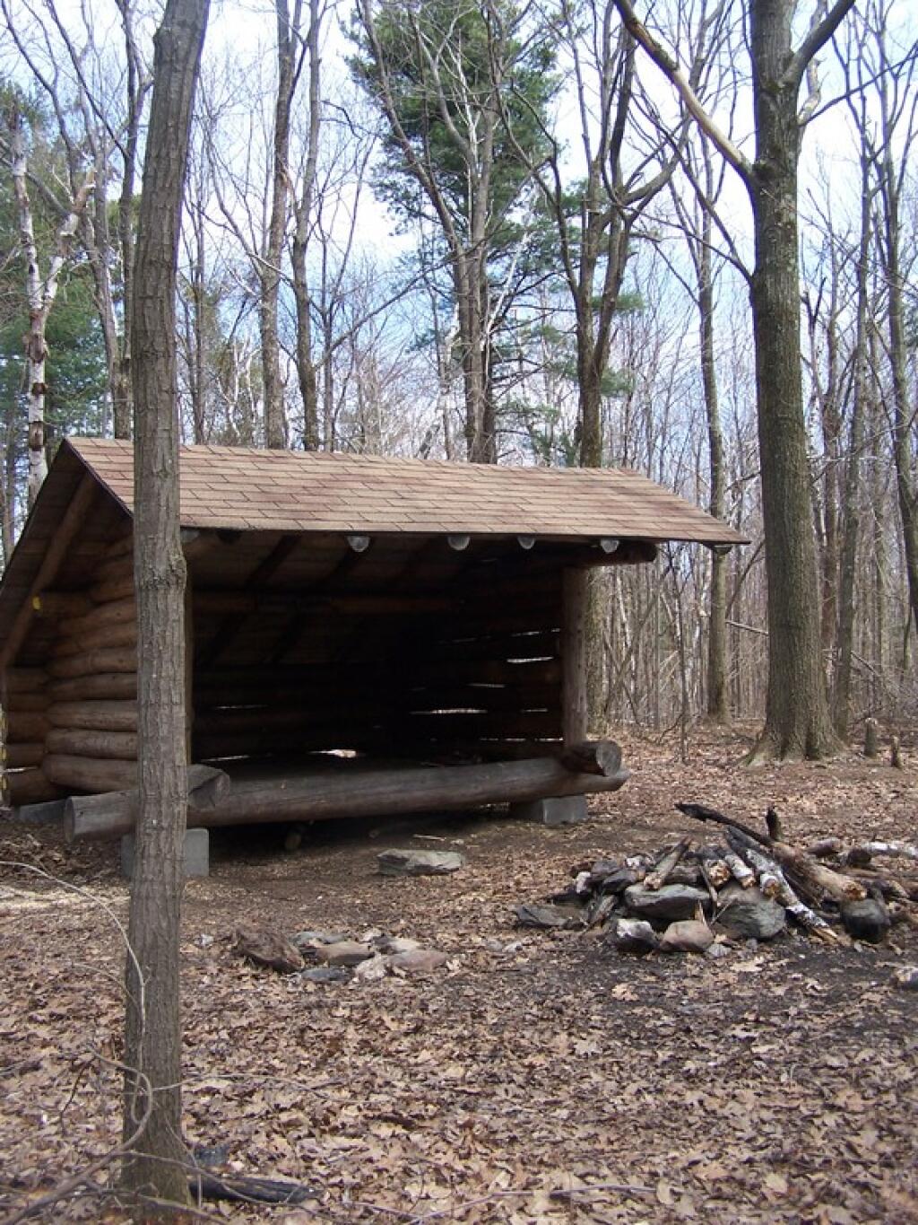
Chance of Thunder Lean To 🖼️
Download a JPEG Image of the Chance of Thunder Lean To.
Chance of Thunder Lean To ...
On Beebe Hill, a 1/10th of a mile from the Fire Tower, there is a lean to where you can spend the night. This way you can observe the sunrise/sunset and starts from the Fire Tower. It must be amazing to do such.
Taken on Sunday April 19, 2009 at Beebe Hill State Forest.

More about Beebe Hill State Forest...
Beebe Hill State Forest (in the Columbia County town of Austerlitz) was established in 1963 and is the home of the Beebe Hill fire tower, erected in 1964 and operated through 1987. Recent history has seen the protection of over 3,000 acres of state forests in Columbia County. The 60-foot-tall fire tower was originally constructed on Alander Mountain in the Berkshires in 1928. Five years later it was moved to Washburn Mountain in Columbia County, where it stood until it was moved to Beebe Hill in 1964. Harvey Mountain State Forest, to the east, was purchased in 1999 and adjoins Beebe Hill State Forest.
http://www.dec.ny.gov/lands/66460.html


