South Hunter Mountain 🖼️
Download a JPEG Image of the South Hunter Mountain.
South Hunter Mountain ...
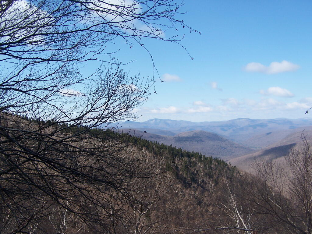
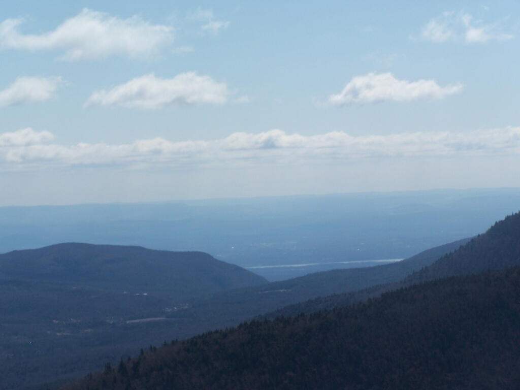
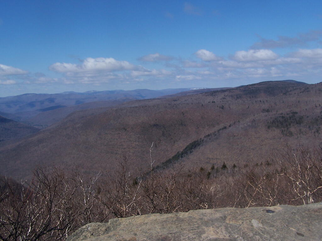
This is South Hunter Mountain from Plateau Mountain. This picture also features Bellayre Mountain with the ski resort in the background.
Taken on Sunday April 12, 2009 at Plateau Mountain.
More about Plateau Mountain...
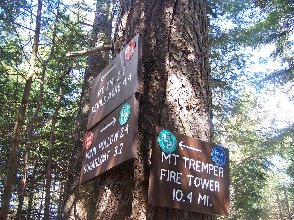
Plateau Mountain is a mountain located in Greene County, New York. The mountain is part of the Devil's Path range of the Catskill Mountains. Plateau has a two-mile-long summit ridge above 3,500 feet (1,100 m). The highest point is at the southeast end, facing Sugarloaf Mountain to the east across Mink Hollow Notch. The northwest end faces Hunter Mountain to the west across 1,400-ft-deep Stony Clove Notch. Plateau Mountain stands within the watershed of the Hudson River, which drains into New York Bay. It feeds the Hudson by way of Esopus Creek through Stony Clove Creek from its western slopes, and through Beaver Kill from its southeast end. Its southwest slopes drain into Warner Creek, thence into Stony Clove Creek. The northeastern slopes of Plateau drain into Schoharie Creek, thence into the Mohawk River, and the Hudson River. Plateau Mountain is within New York's Catskill State Park. The Devil's Path hiking trail traverses the summit ridge of Plateau. The Long Path, a 350-mile (560 km) long-distance hiking trail through southeastern New York, is contiguous with this stretch of the Devil's Path.