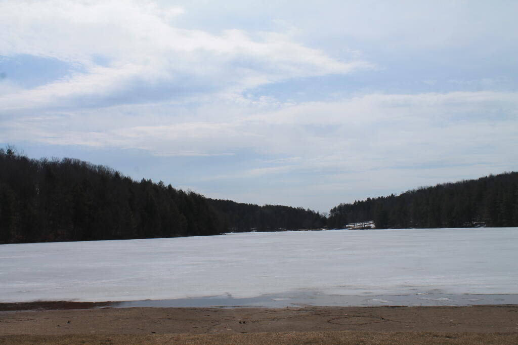
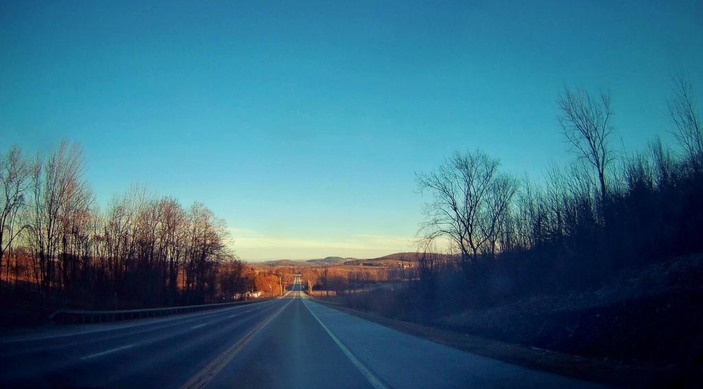
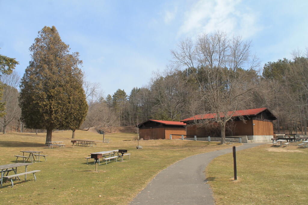
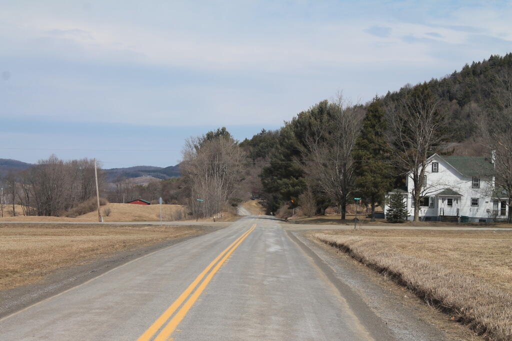
Before the Plant in 2013 🖼️
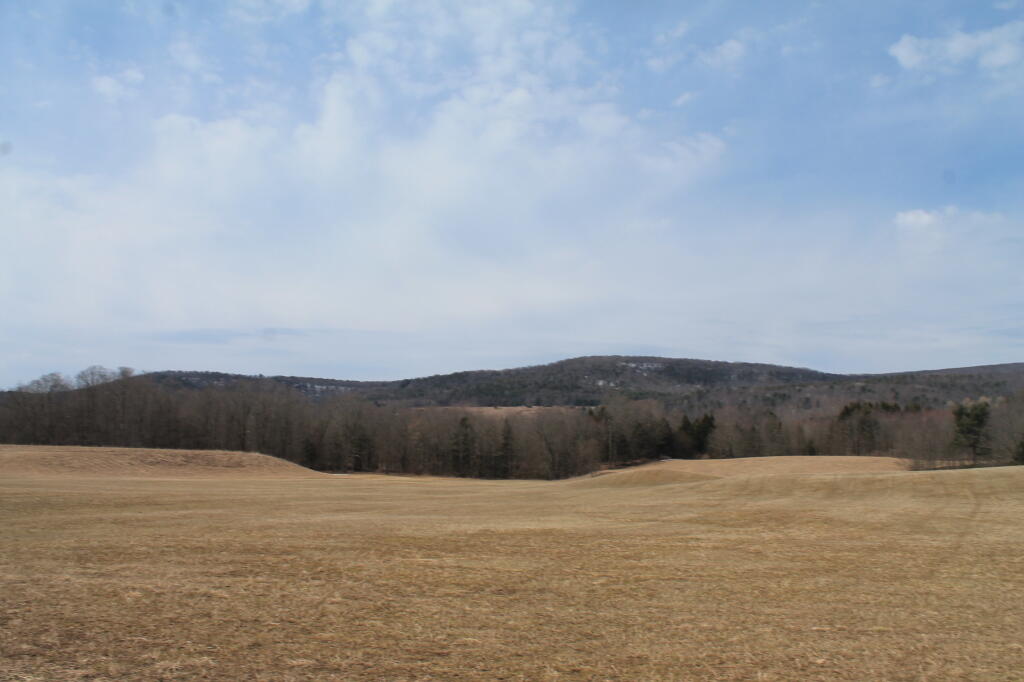
Download a JPEG Image of the Before the Plant in 2013.
Before the Plant in 2013 ...
Taken on Sunday April 7, 2013 at Otsego County.

More about Otsego County...
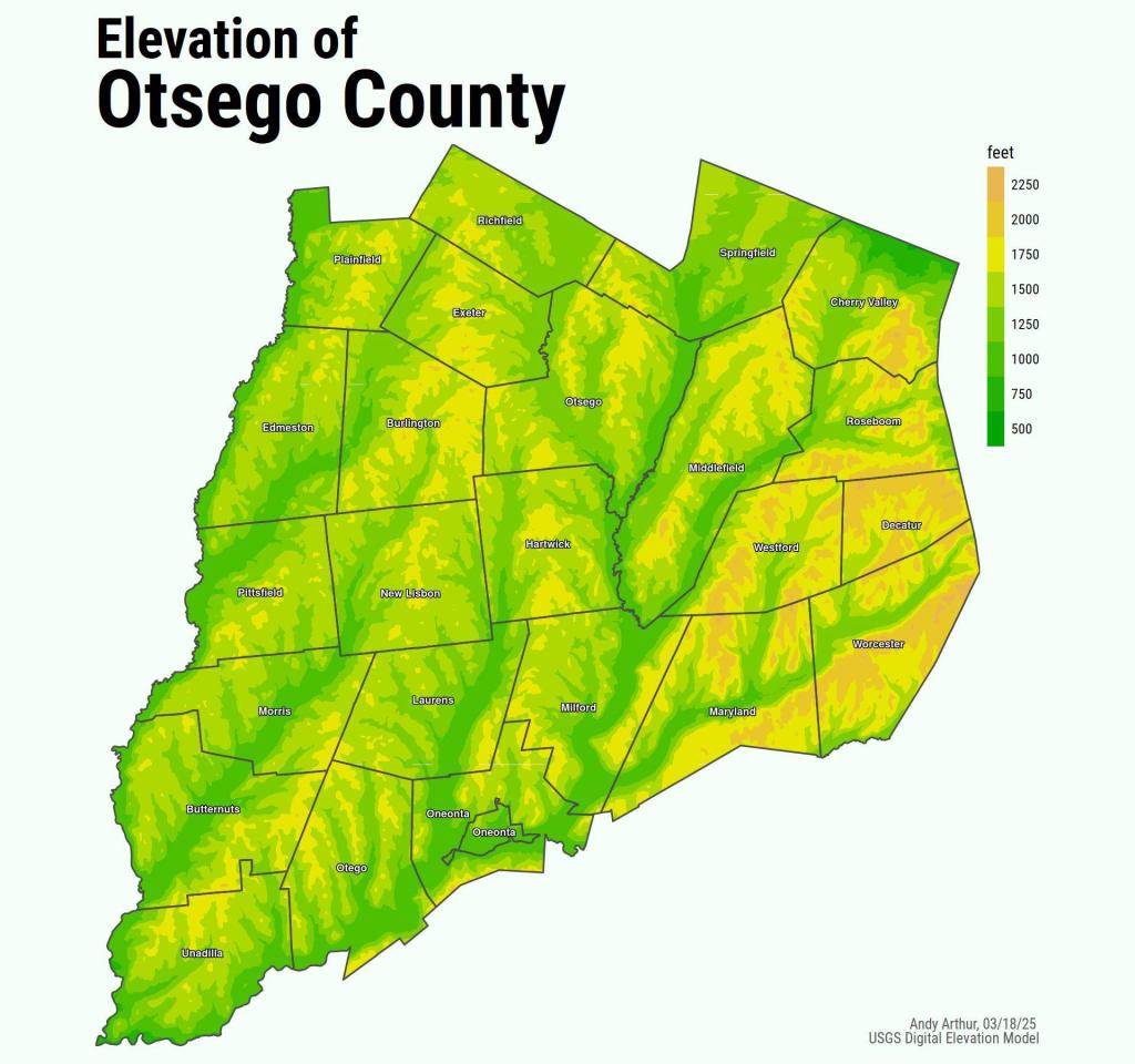
Otsego County is a county located in the U.S. state of New York. As of the 2010 census, the population was 62,259.[1] The county seat is Cooperstown.
Otsego County is in central New York State, to the west of Albany, southeast of Utica, and northeast of Binghamton. The county is considered by some to belong to the Southern Tier region of New York State.