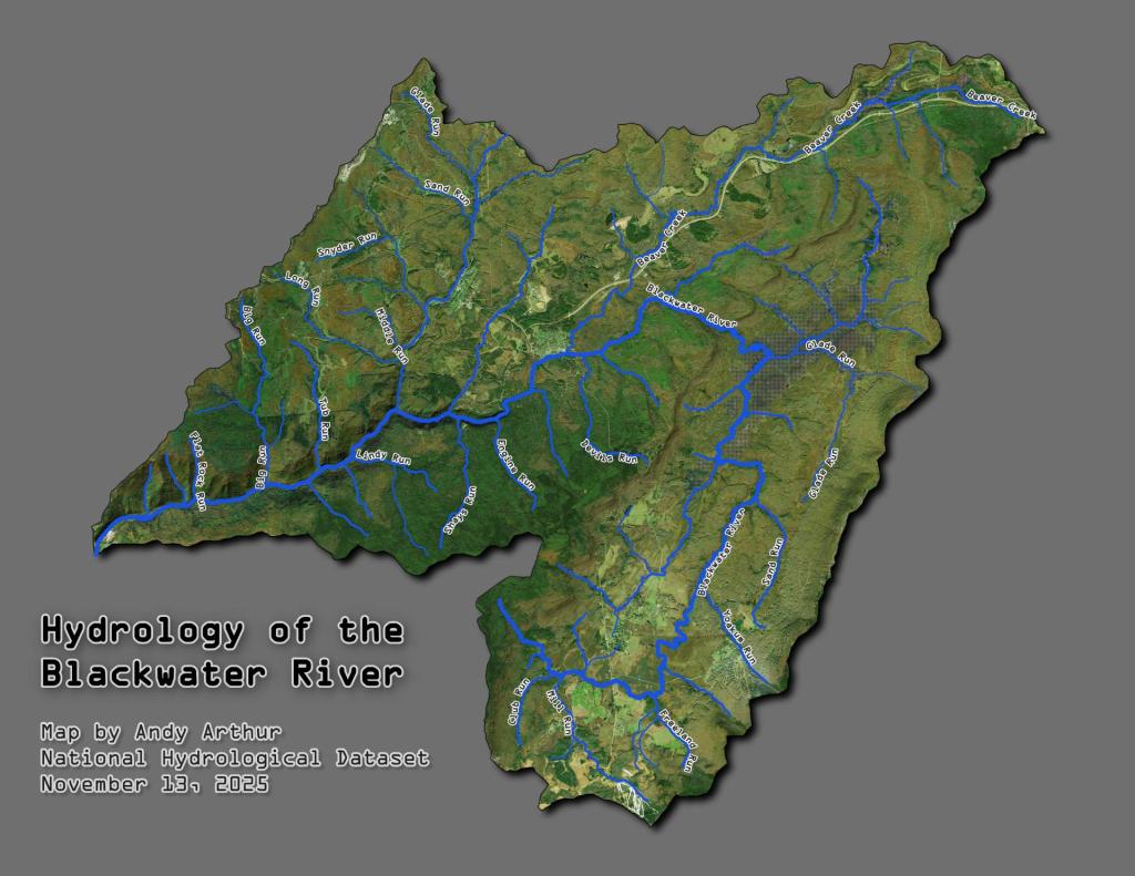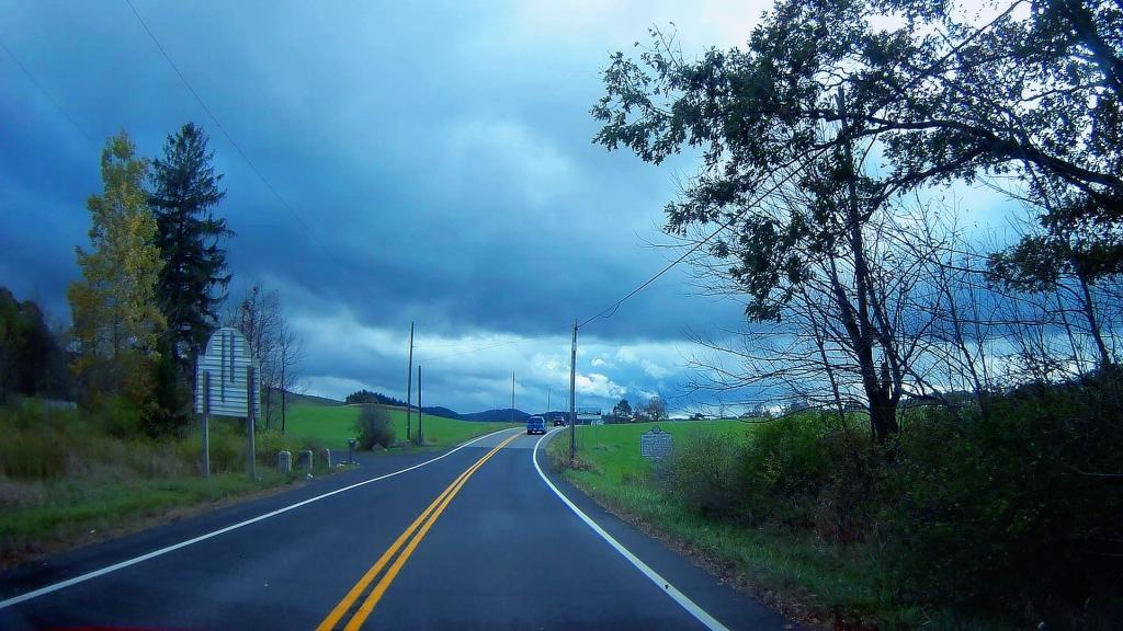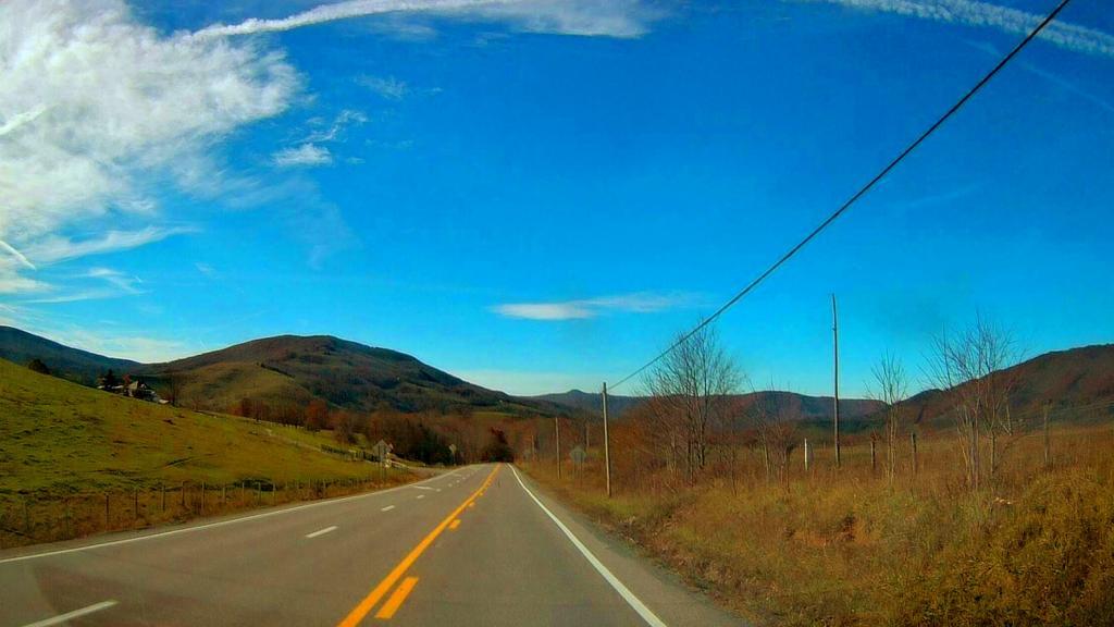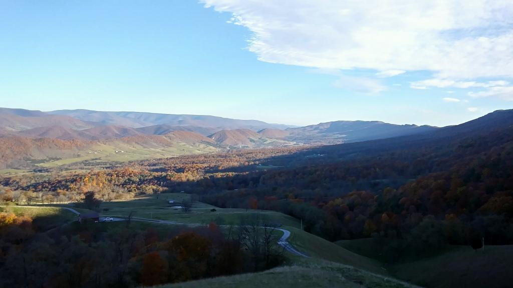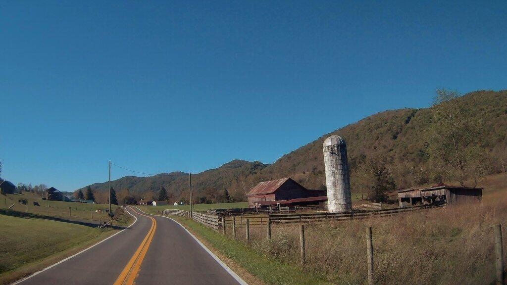
Physiographic divisions of Northern West Viriginia

Download a High Resolution JPEG Image of the Physiographic divisions of Northern West Viriginia or an Adobe Acrobat Printable PDF of the Physiographic divisions of Northern West Viriginia.

Bookmark my free Interactive GPS Map for your phone:
https://andyarthur.org/ny
... shows your location as a blue dot in relationship to campsites, trails, state land. This online map requires cell service, won't work in remote country, so also bring a paper map.
Free Download of New & Historical USGS 1:24k Topograpic Maps
Interactive maps with backcountry and roadside camping: New York, Pennsylvania, West Virginia & Vermont. List of NYS DEC Lean-Tos and Firetowers.
Google Spreadsheet with Roadside, Primitive and Pay Campsites
More about West Virginia...
West Virginia, nestled in the Appalachian region of the United States, captivates with its diverse landscapes, from rolling hills to rugged mountains. This webpage centers on free camping opportunities within the Mongonghella and George Washington National Forests, inviting adventurers to embrace the state's natural wonders. With a focus on hiking, biking, kayaking, and more, West Virginia offers a spectrum of outdoor activities. The majestic forests and pristine waterways of the national forests provide an idyllic backdrop for camping and exploration. From traversing scenic trails to embarking on cycling escapades, the state caters to various interests. West Virginia's tranquil lakes and rivers beckon kayakers and water enthusiasts, ensuring unforgettable experiences. Amidst the Appalachian splendor, West Virginia stands as an outdoor haven where nature's beauty and recreational pursuits harmonize to offer an enriching and memorable adventure.
https://www.wikiwand.com/en/West_Virginia