Summer 26 Draws to a Close
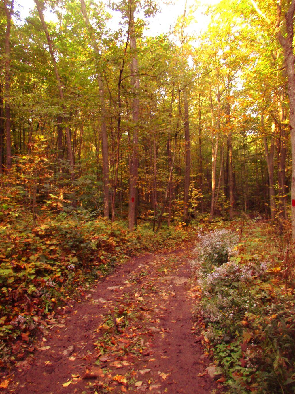
A few minutes ago I got back to camp after going for a bike ride over to Hatchery Brook Falls. Started the day with an early morning hike up Pillsbury Mountain. I thought about inflating the tube and going for a float after my hike – only used the tube once or twice above the Potholers – on my first trip of the summer. One of 26 nights spent camping in my still fairly new SuperDuty.
I like my SuperDuty, but that’s to be expected after spending so much money on it. It handles nicely on the dirt roads, the backup camera and the hill descent control are amazing. It will serve me well in the coming years on my many adventures, into the autumn. But damn, summer is done with today being the last night of camping before Labor Day. Then it’s back home, for at least a few nights. But hey, maybe I’ll leave Thursday for camping and remote work up in Vermont if the first unofficial autumn weekend looks nice.
I can’t believe summer is drawing to a close so quickly. Another year of life gone. It took a long time to get that SuperDuty, the cap built and installed, all the gear moved over and wired and working well. Gas prices were high, the SuperDuty always hungry for fuel. But I like my big truck, even if it’s not a commuter vehicle. I used to worry about Big Red breaking down way too much, even if such fears really weren’t rational – the only real failure in the 14 plus years I had him on the road was the the wheel bearing in West Virigina and getting rear-ended on NY 85 Expressway in a construction zone back in 2014. Long time ago now.
Today was a lazy day by any standards after my hike up Pillsbury. Maybe I could have done more, but I chose to spent the balance of the day smoking pot and drinking beer, listening to audio books an dfeeling the warmth of that early September sun. I thought about filling the tube and going for a float on the Jessup River one last time this year, but it would have been much too cold. There’s always next summer. House Pond and the East Canada Creek is always good for that.
Cellphone reception has been spotty all weekend up here. Not my location or something a cellphone booster would have helped, as I had slow and spotty reception in town. I thought my service might be throttled due to excessive data use, but running ping and other tools – and because things like downloading podcasts keeps stopping – it’s obvious a lot of packets are being dropped. Tower is likely just overloaded with all the tourists. Though that seems strange as most of the motels in Speculator last night when I was there had “Vacancy”. Seems strange being Labor Day Weekend, and a nice one to boot but with inflation people don’ t have the money, kids are back in school with the late Labor Day, and many tourists are likely holding off for autumn colors in a few weeks.
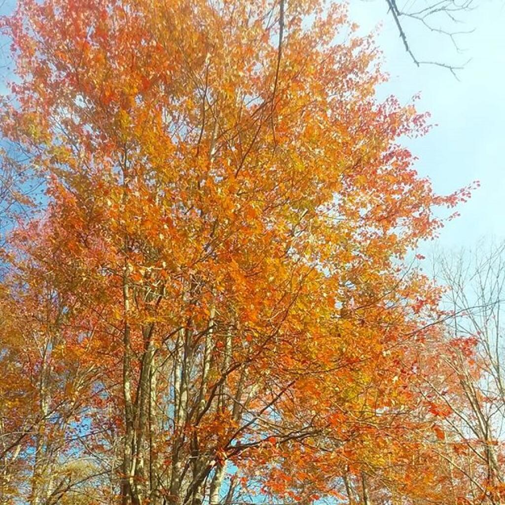
I’ll be back in a few weeks to take in the autumn colors, and maybe hike Snowy Mountain when it’s not so cloudy or foggy. The views from Snowy are amazing – and it’s kind of shocking that I hadn’t done it before – but having studied the ridgeline from Pillsbury many years before – I thought it was going to be a tough hike like the books describe it, despite me being in fairly good physical shape. It’s long but not that bad, no steeper then Pillsbury. And if you get there early – starting the hike around 7 AM, you can easily still get a parking spot for your ginamorous F-350 SuperDuty and not have a lot of crowds. Speaking of which, it’s a bit tight for a F-350 to pass a Ford Expedition on Old Military Road, though I pulled off to let him by. I am a bit bothered mentally thinking that my SuperDuty is basically on the same chassis as the old Ford Expedition, much maligned by the Greenies. I know, I’m not that green, I burn most of my plastic and paper garbage. Still, I want that off-grid cabin, generate most of my power using solar, and have methane burbing cows grazing the grass. And not choke on steak like I did at 677 Prime last Tuesday.