Pennsylvania Day 🛢️ 🐮 🚶♂️
I was up by 5 am a half hour before my alarm went off but I was ready to hit the road for Pennsylvania a little after six. Put in $75 in the SuperDuty, at a shady Elmira gas station moved the needle a half tank up and headed down to Lambs Lookout.
Found a good farm stand 🍆 on the way down, passed my share of stinky 💩 hog and cattle 🐄 farms on the way, at least one burning barrel putting out lots of black smoke and plenty of other rural homesteads that obviously burn their garbage. 🐐 PA really is a different country. But I got zucchini and onions 🧅 so I’m as happy as a pig in shit. 🐷 Absolutely a beautiful weather ☀️ day for driving 🚗 around Penna enjoying the country air, you dirty hick. Amazing how different the country is when you leave the Finger Lakes behind.
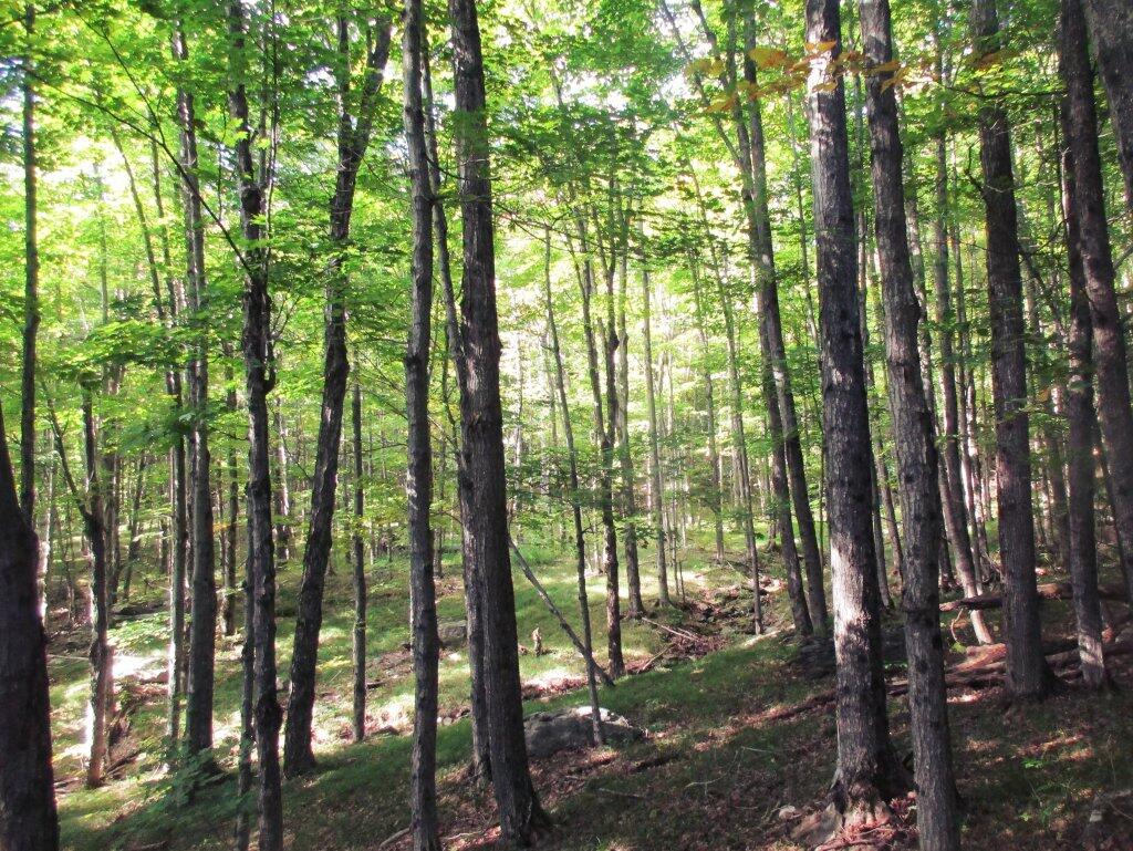
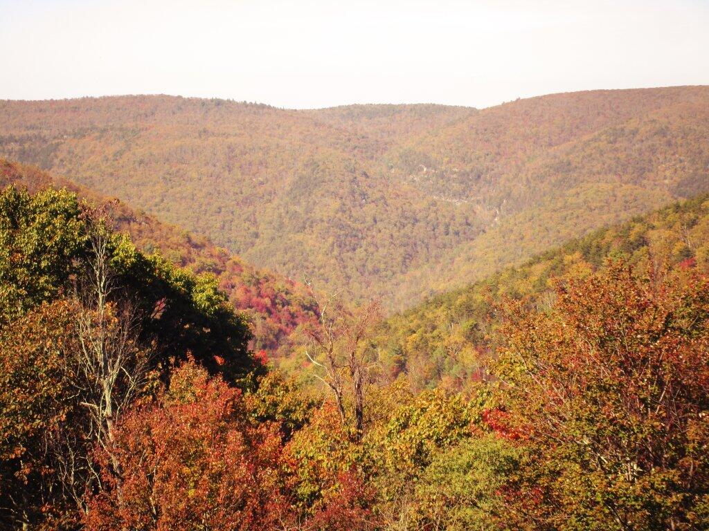
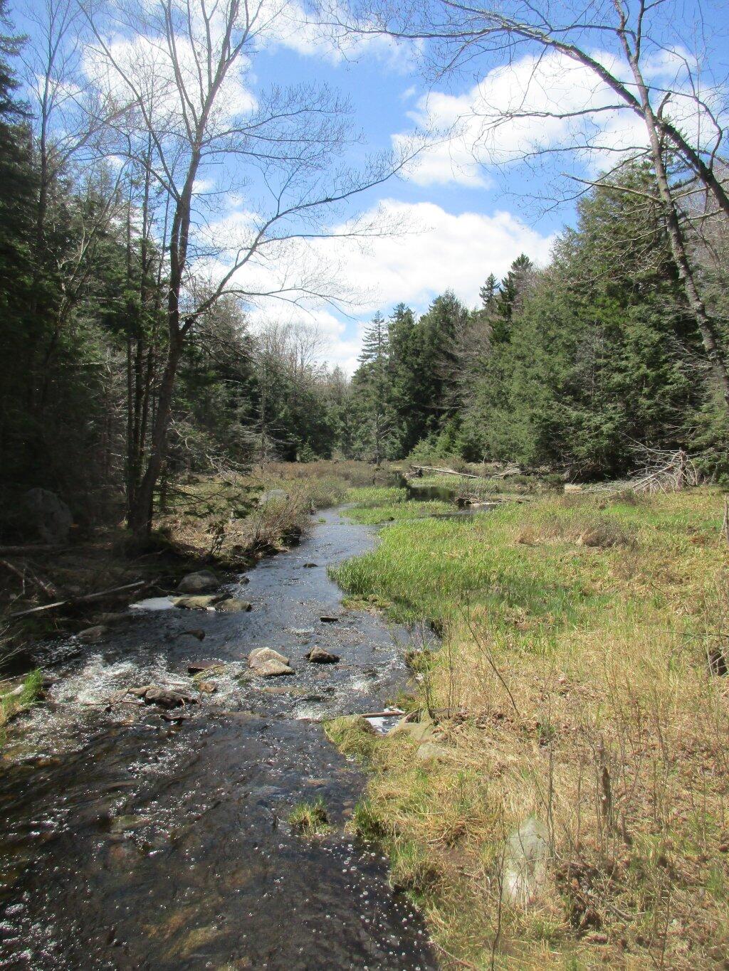
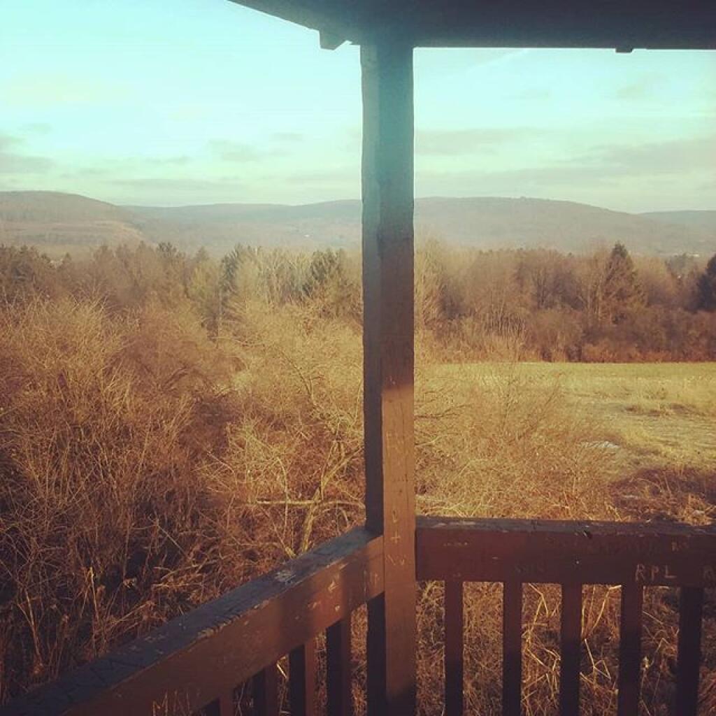
Just hiked the first one of the Blackwell Triple Crown – Gillipse Peak. 🗻 Chimney Rock is next. Go for a bike ride on the Pine Creek Gorge Trail 🚲 north of Slate Run. 🩶 Then driving West Rim Road 🌲, Barbor Rock and if there is a time a beer 🍺 and burger 🍔 at the Burning Barrel Bar, because it’s Pennsylvania. And we like our dioxins and furans and stinky plastic fires, lol 😂. Maybe visit that nature preserve outside of Ansonia and be on Interstate 99 by eight 🕣 and to the Glen Dairy Bar 🍦 by nine or so. Glipsie Peak is definitely a good leg 🦵🏻 stretcher, Chimney Rock is said to be a lot harder.
Other than that I know time is short. 🕒 I could have gotten a camping permit 🎫 but I didn’t want to have to bring all my gear to Penna so I made it just a day trip to visit these hick towns 🧑🏻🌾 and visit the mountains. A ton of Mennonites are on the bike trail. 🚵♂️ Hope to have time to do some of the Pine Creek Gorge Trail but time is limited with those three peaks and my desire to leave Penna by eight so I’m not driving 🚗 all the way back to camp in darkness. 🦌