Navigator

I finally got another CDTA Navigator Card after a few months of using the app and having it expired. Tap and go, most of the time I don’t even pull it out of my wallet.

The Navigator app is fine as a back up, but it kind of sucks having to open an app, click through it, and sometimes your phone battery is dead, have connection issues, or get logged out of the app. Or if the sun is bright and screen is dim, the machine has trouble reading the QR code.

Plus you kind of want to have the app open, fare ready, when bus arrives, and I don’t necessary love at all times puling your phone out and messing it with bums around potentially looking to swipe the phone out of your hands. All while balancing and loading the bike on the bus.

Map: Alma Pond
Map: Dobbins Memorial State Forest
Map: Little John Wildlife Management Area
Map: Otter Lake
Map: South Hill State Forest (Oneida 23)
Map: Summer Hill State Forest
Map: West Parishville State Forest
SVGZ Graphic: albany-snow-depth
SVGZ Graphic: college-rate
SVGZ Graphic: december-holidays
SVGZ Graphic: ht2025
SVGZ Graphic: lt2025
SVGZ Graphic: Places Named Bethlehem
SVGZ Graphic: Towns with Most Similiar Land Cover to the Town of Bethlehem
Terrain Map: Happy World Milk Day!
Photo: Western Slope
Photo: South Towards Montour Falls
Photo: Toes
Photo: Sunlight
Photo: Happy June!
Photo: Black Eye Susans are out
Photo: Long Trail
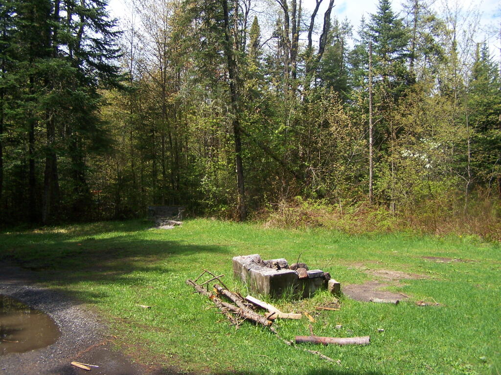
Photo: Clearing
Photo: Guilderland Town Planning Board Protest
Photo: Cannon

Leave a Reply

Your email address will not be published. Required fields are marked *