The day before Freedom 250 in the F-350
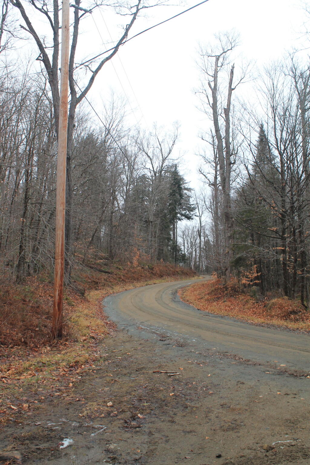
Heading up to Moose River Plains this morning. Had breakfast and camp mostly broke by 7 am, on the road north by 7:30. Hoping not all the campsites are taken.
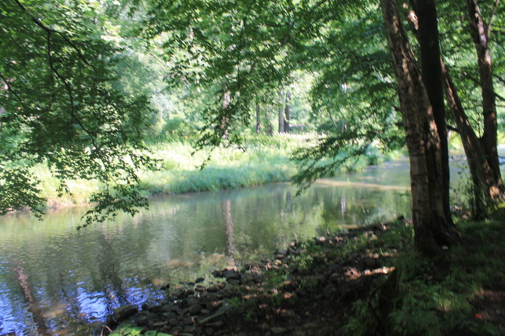
Got to stop in Old Forge for milk and ice 🧊, then it’s back to finding a campsite, cracking open a beer and smoking some dope. Ride some of the roads on my mountain bike before finding a swimming hole 🏊♂️ in Moose River, Red or Otter 🦦 Creek. Set up camp 🏕️ through Monday. Probably Monday I’ll drive back down through the Plains and then paddle I’m thinking Wakely Pond as I done Cedar River Flow many times 🚣♀️ and it can be quite choppy.
Yesterday was warm 😰 but not too bad as there was a constant breeze and clouds 😶🌫️ which helped with the heat. Rode down to Goldmine Stream Falls and hiked back there. Then I rode back to camp and then headed down to the Potholers in the SuperDuty to charge up the batteries 🪫 and of course swim. It was a relaxed day 🌞 with less being stoned out of my mind 🤯. It was fun.
Time to take down camp!