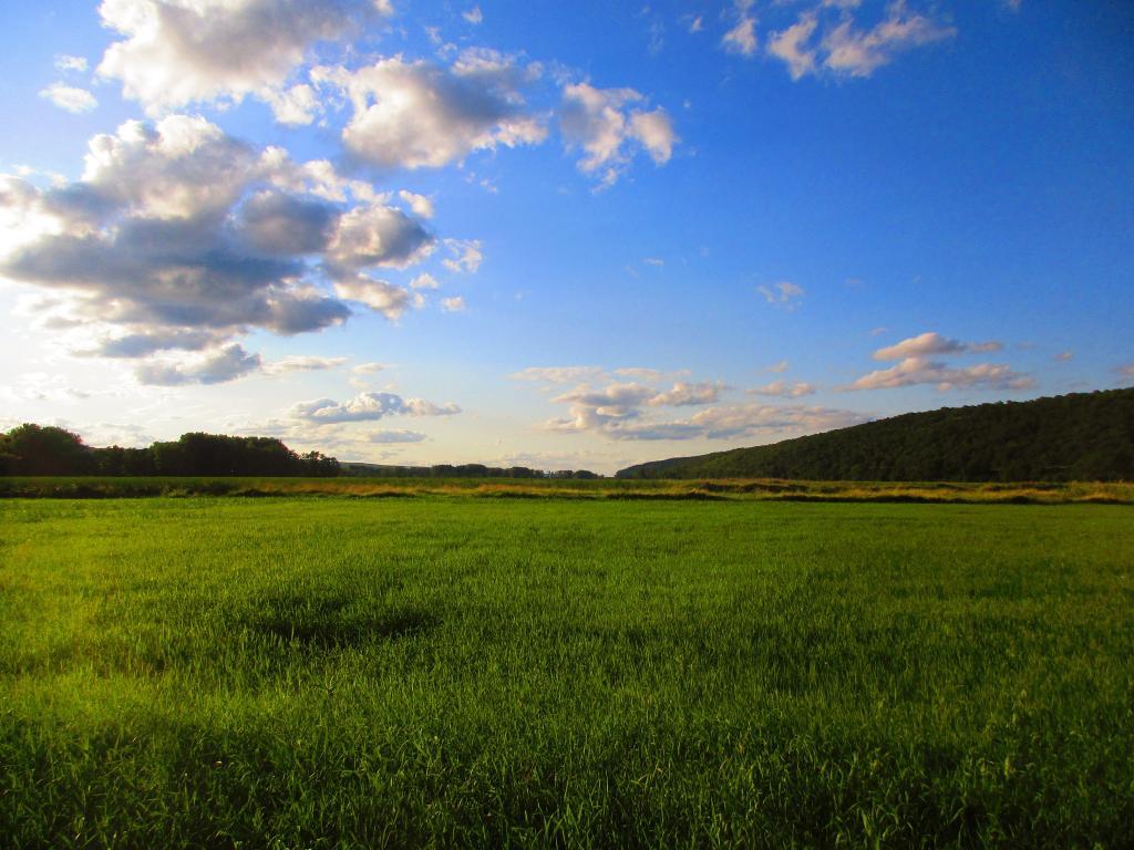
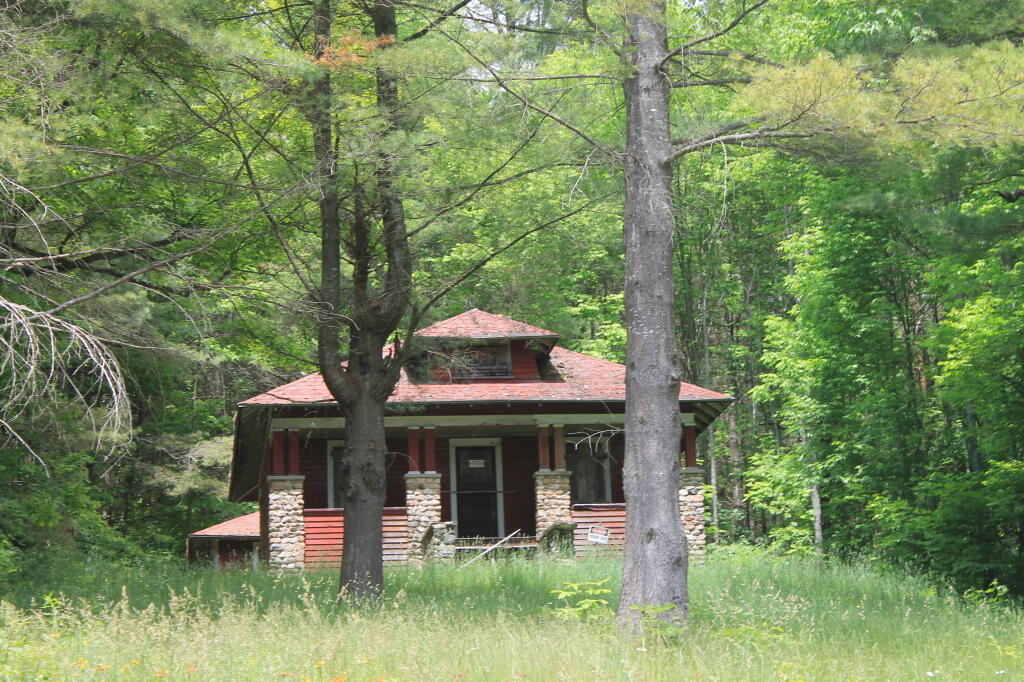
Six days in the wilderness up in smoke and a genisis for the next adventure 🔥
I was looking at that milk jug, half empty and only half tangy, the Styrofoam egg carton and egg shells, the bacon wrapper and thinking that will be start of next fire, the next adventure. And the forest ranger said I could take my trash to Inlet transfer station to be hauled to Beekmantown and forever buried. I think not but I don’t think many good things about the law.
How fast time comes and go. ⌛ This is the first adventure with the SuperDuty drawing to a close, the first time I’ve been to Moose River Plains in six years, the first time camping in six months since I retired Big Red 🛻 at the end of 2025. So much crap I’ve sent up in smoke over the years. Figure enjoy these days while I can, some day I’ll own my own land, hopefully with burn barrels and livestock, but for now it’s still spent up in wilderness. 16 years since I first came up to Moose River Plains, I see both the wrinkles in my face and the colleagues, people I knew back then who were 66 sure look a lot older at 78.
I was glad the milk wasn’t too rancid this morning, 🦨 but last night was cool and this morning so cool – in the fifties – that I ended up putting on jeans and a long sleeve shirt. The ice didn’t really survive yesterday with the heat, 🧊 though it was actually quite a beautiful day. I knew the perishables wouldn’t make it three days with the store bought ice bags. Still the eggs 🥚 and remaining bacon 🥓 with chopped potatoes 🥔 made for a good breakfast.
Yesterday I spent the bulk of the day hiking, after a nice breakfast, and then some reading and blogging. 🚶♂️ Hiked up and over Mitchell’s Pond Mountain in search of the ledge views, and I did find a nice ledge overlooking the valley with views south, though nothing as good as I hoped of Moose River Plains or Mitchell’s Ponds. Ended up following the ridge to the northside of the mountain, then heading out along Cedar River – Limekiln Lake Road to the Mitchell’s Pond Loop, then down to Mitchell’s Pond. 🌲 I was happy to see they’ve built snowmobile bridges over all of the creeks and ponds – 10 or maybe now 15 years ago – when I tried to do the hike from the upper entrance of the loop trail, I turned back when the trail dipped into a deep probably beaver pond, and wasn’t obvious how to bushwhack around. 🤷🏻♂️ But not an issue now.
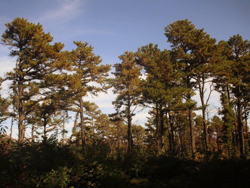
The top of Mitchell’s Pond Mountain was very brushy, especially in some places with dense pine stands and some blow down. I did find one ledge with nice views of the valley, but I had hoped for more. I should have done more research before hiking or reached out Moose River Plains expert Matt Beal. 🔎 I am glad he now has a job with the DEC or town highway departments maintaining the roads at MRP, he really loves this place. It’s good, though I still think I prefer Piseco-Powley but that’s a lot closer to home for me. Spent like an hour putzing around Mitchell’s Ponds, checking out the campsites, and spending some time just looking at the lake. 🏕️
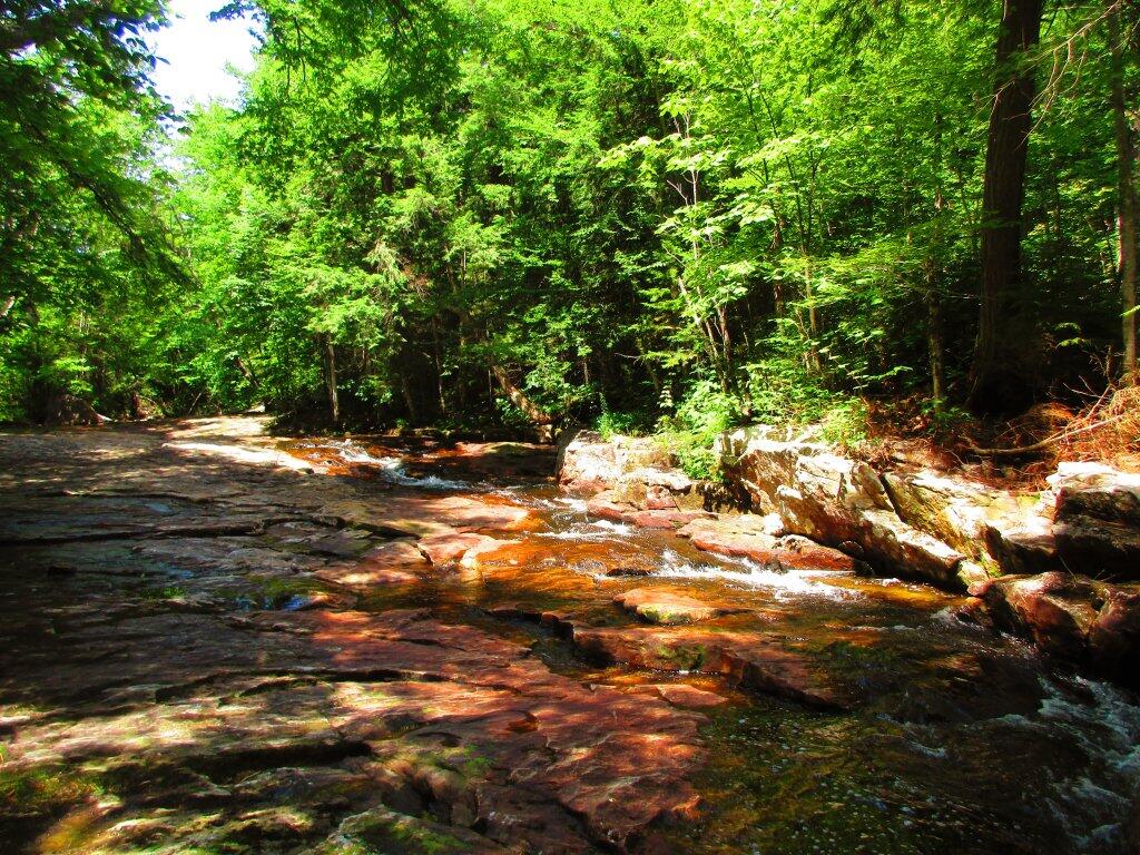
In the evening I went for a swim 🏊♂️ or at least wading and splashing around 💦 in the Moose River and then a paddle on Helldiver Lake. Finished up Elizabeth Grimwald’s Amity and Prosperity audiobook 🔉 and then had a short book, smoked some more weed 🚬, got caught up on the trash and lit off a few more sparklers and firecrackers 🧨. Quiet up here since the holiday campers came and went. 🎇 A few people are still up here, it is summer, still much more campsites are empty. I want to take things down before the rain comes for sure.
It’s been six nights in the wilderness, bar a brief period when I drove from Piseco-Powley up to Moose River Plains. 🛶 It was great to get away, have some fun with no cell service, have fires and enjoy the wilderness. I had forgotten how much I missed traveling after I retired Big Red, and it’s nice having a mostly worry-free rig, though I do need to get a voltage gauge on the starting battery and get the voltage relay control reset up once I get back home and can study the manual. 🪫 I am sure I just put it in some random mode.
Thinking today with the road closed to Cedar River Flow I’ll head up to Inlet, and then maybe over to Sagamore Lake to explore that Great Camp and some of the trails over there. 🚶♂️ If the rain holds off, I want to paddle and explore some of Lake Durant and maybe do some fishing 🚣♂️. Doesn’t look like rain but they did suggest more unstable weather this week. Probably not the worse week ever for the bike to be broke down, but I am hoping to order the derailuer from Amazon 2-day delivery this evening with Mom’s prime account.
This evening, it’s off to the office to launch that robo call. Also need to research the derailuer I need to order for my bike. Hopefully get the chain ⛓️💥 taken apart, the part delivered this week and swapped back on the bike so I can be back to riding to work by the second half of the week. The bus is fine, 🚌 but I’d much rather ride, though the weather does look a bit unstable and rainy ☔ all week. Or I could take the SuperDuty to work but I don’t want to pay for the gas. ⛽ I still have a fair bit of fuel left in the tank, but I hate to get it too low, and have like a $130 fill up or whatever it costs to do like 32 or 33 gallons of gas.