Maybe I’m heading back to the Chicken Coop Again This Summer After All 🐔
I was completely set on taking my new rig up to Michigan’s Upper Peninsula this summer. Last autumn, after finally retiring Big Red and building a more reliable platform, the dream felt entirely doable over a three-day trek. On paper, map routing made it look easy: Day 1 to North Harmony or Chautauqua Gorge in southwestern New York, followed by Day 2 to Nordhouse Dunes.
But as I broke down the actual logistics this weekend, reality hit hard. That “eight-hour” second leg is a paper fiction. Once you factor in fuel stops, meals, and my tendency to wander down back roads, it easily balloons into a grueling nine- or ten-hour haul. Worse, that route forces me right through the concrete gauntlet of Cleveland, Toledo, Ann Arbor, and Grand Rapids. The Ohio Turnpike isn’t some sleepy, scenic highway like I-99; it is a chaotic, truck-heavy nightmare akin to Pennsylvania’s I-81. Fighting aggressive traffic only to arrive exhausted in unfamiliar territory—where I’d still have to scout a wild, backcountry campsite in the dark—is a recipe for disaster.
Then there is the financial sting. At $5.00 a gallon, a single 550-mile day burns through $150 in fuel alone, eating up a massive chunk of my $700 budget. Finding an intermediate stop is equally discouraging. I absolutely despise motels—they feel like cramped, overpriced cages that remind me far too much of traveling for work. Even a crowded commercial campground lacks the freedom of the true backcountry I crave.
It feels like the best of times and the worst of times to travel. Part of me panics that I’m getting older, and that future personal, family, or property obligations might lock me down before I get to see the rest of America. Yet my limited vacation time, high work demands, and the total lack of cell service in the remote Upper Peninsula create a stressful bottleneck. Pushing the trip to autumn 2027 would give me two full weeks, cheaper gas, and fewer crowds, though waiting always carries a risk.
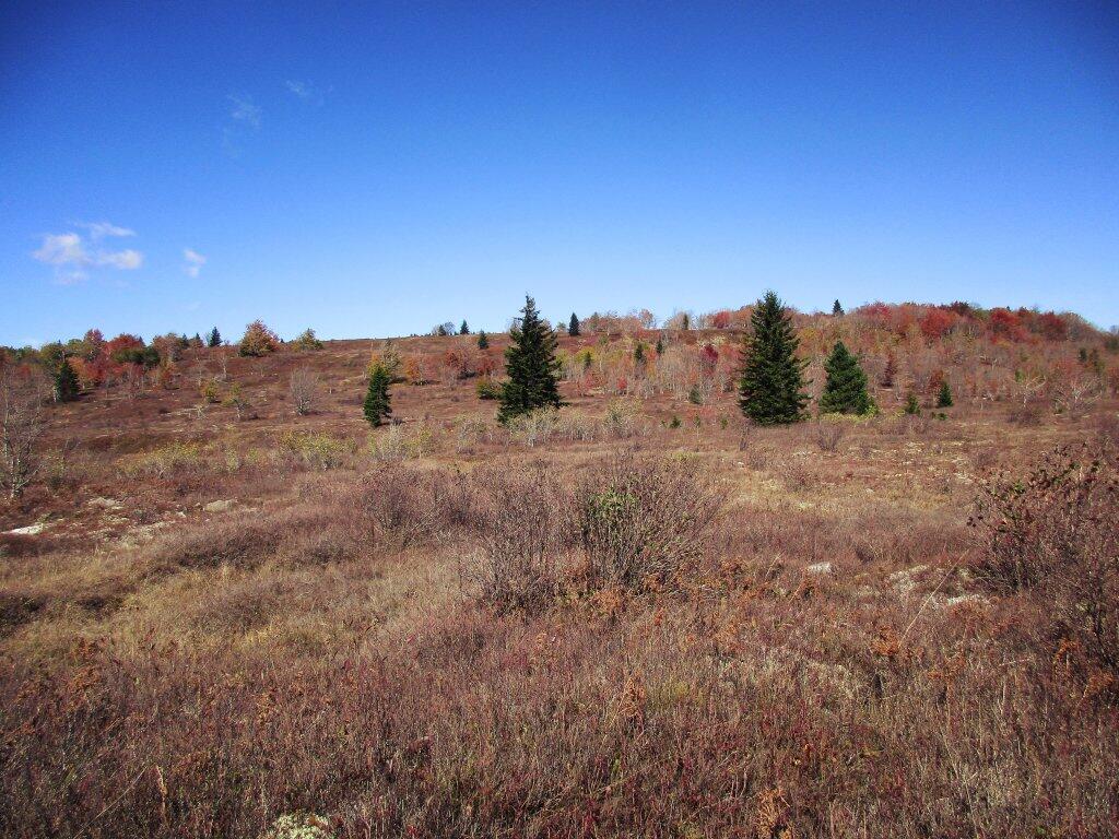
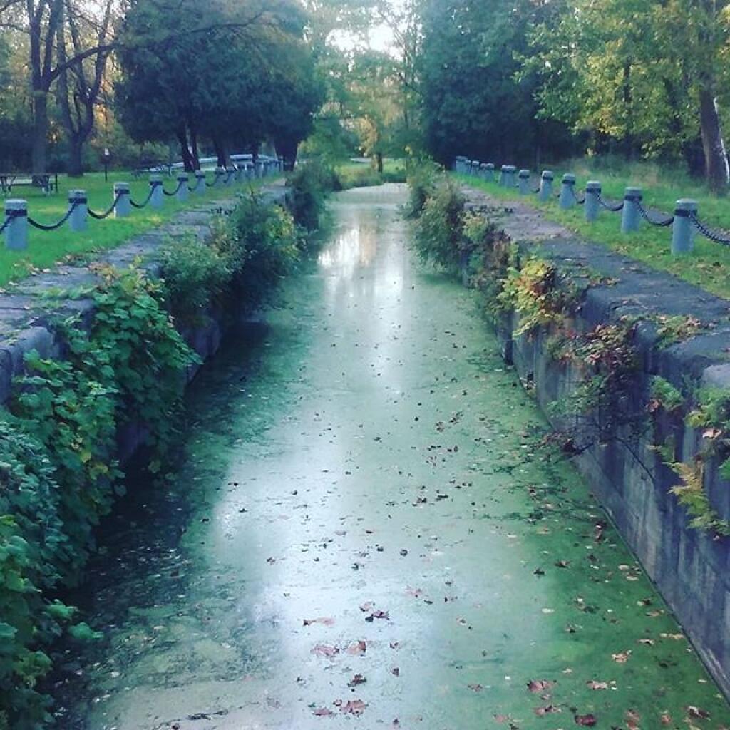
The logistics vividly bring back the ghost of my brutal 2023 drive home from West Virginia. After a brilliant week of camping, I spent a beautiful autumn day exploring the Paw Paw Tunnel and wandering the C&O Canal. But leaving at 3:00 PM proved catastrophic. The drive home degenerated into a white-knuckle horror film: fighting the tight ramps of I-68, gridlocking on I-81 near Harrisburg, navigating the bleak warehouse districts, and scaling the dark Appalachian ridges around Pottsville. By the time I hit Scranton, I was making emergency stops for caffeine pills, ultimately trudging through a blinding rainstorm past Binghamton in pitch darkness before finally collapsing into my truck bed at Long Pond. Long drives like that simply suck the joy out of travel.
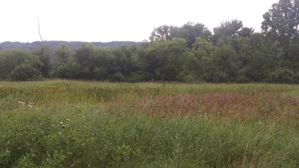
So, I find myself looking back toward the Finger Lakes National Forest. There is an undeniable pull to Chicken Co-Op Road for a low-stress, 10-day sanctuary. I can picture it perfectly: waking up early, grabbing morning bacon, buying fresh farm produce along NY-206, and having camp set up with a cold beer in hand by noon. It’s simple, easy, and completely grounding. I could spend a week watching the cattle graze, paddling the lakes, riding bike trails, and taking easy day trips down into the Southern Tier. Most importantly, I’d be back at camp by evening—lying in the hammock by Foster Pond, watching fireflies, shooting stars, and distant thunderstorms until 2:00 AM.
It might seem basic compared to the grand allure of Michigan, but there is still plenty of new terrain to explore in the Southern Tier without the misery of the Ohio Turnpike. I still want to see the rest of the country, but fighting an ocean of concrete and traffic just to reach the wilderness makes me wonder if the best escape is the one I already know.