Vanderwhacker Firetower Hike
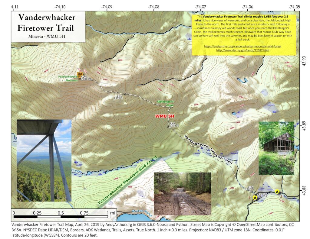
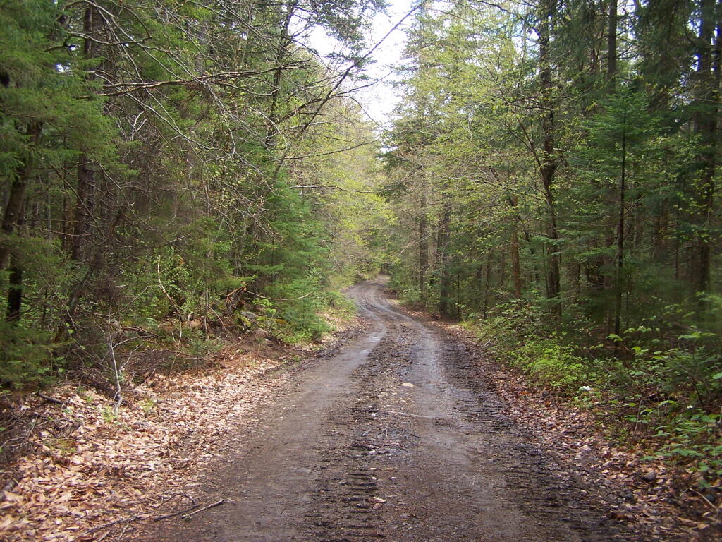
The hike to the Vanderwhacker Mountain Fire Tower starts about a mile beyond where Moose Club Road crosses Vanderwhacker Brook, roughly 3.1 miles from NY 28N at Boreas River. The road is not maintained in the winter and can be very soft past Vanderwhacker Brook and Railroad Tracks.


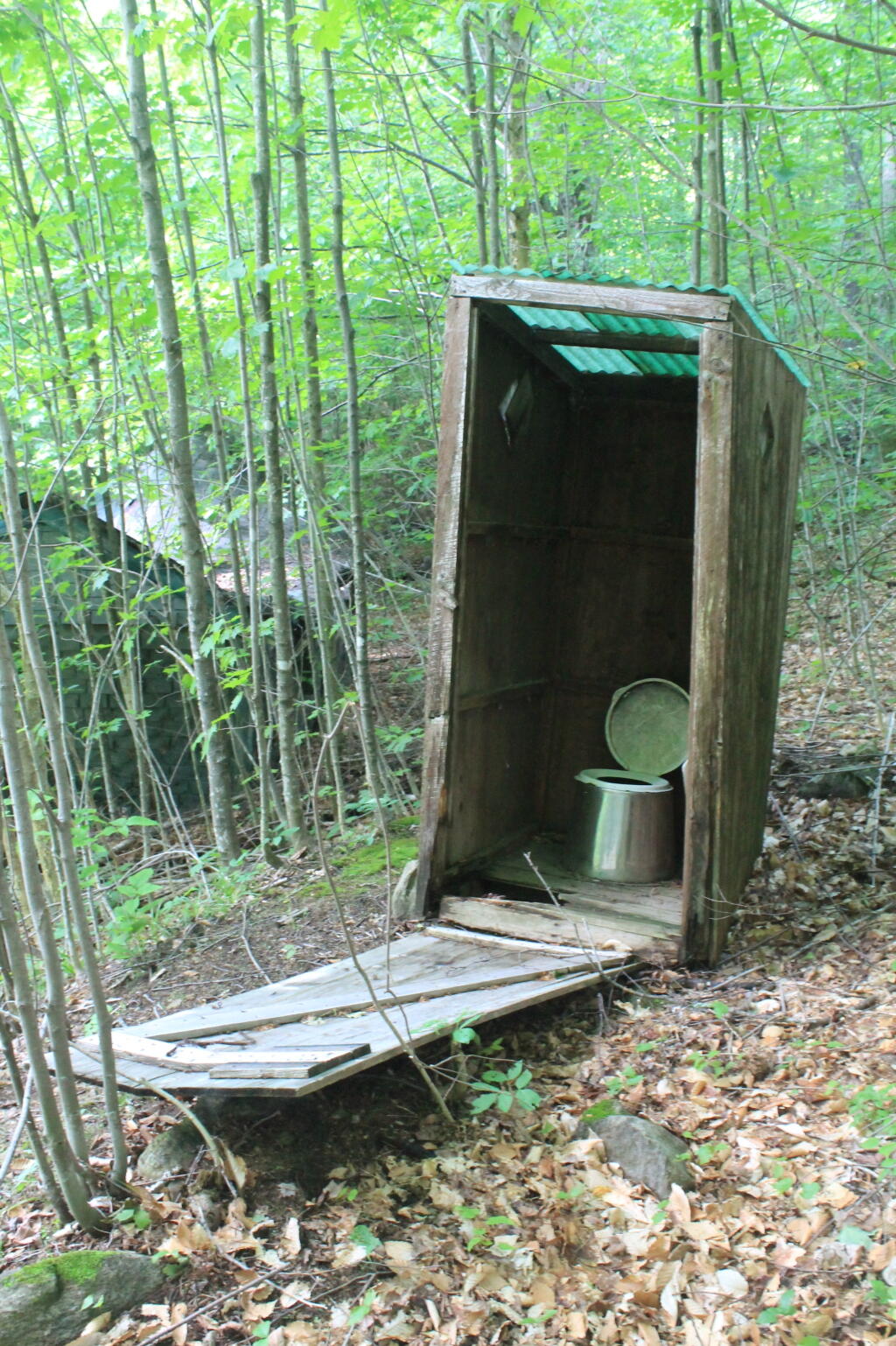
The trail starts out following an ol logging road, that winds through birch, beech, and maple trees, crossing several small streams. There are some small wooden bridges, however this part of the trail can be muddy. Then as you start the first real ascent of trail, where you reach an old long abandoned Fire Observer Cabin and dump. There also is an a historical marker that reminds visitors of the wilderness rangers who once lived on the mountain full-time to safeguard the surrounding valley from forest fires. The trail switches back, the real mountain climb starts.

Over the course of the final mile, hikers must navigate a staircase of exposed tree roots, loose rocks, and large stone slabs that require careful footwork and steady pacing. As the elevation increases, the surrounding hardwood forest transitions into a dense boreal ecosystem dominated by fragrant balsam fir and red spruce. The air grows noticeably cooler, and the physical exertion intensifies, making the occasional flat ledge a welcome spot to pause, catch one’s breath, and glimpse the surrounding valleys through the thickening trees. You are close to the submit, with about a half mile gentle climb to the top.

When you emerge at the base of the tower, there are no views. But the short, relatively recently restored 35-foot tower is just high enough to get you an excellent view of the surrounding country. Outstanding views of the High Peaks are looming to the north, the sprawling Boreas Ponds tract below, and countless rolling green ridges fading into the blue horizon as you look to the rolling wild forest to the south and east.


")


