Camping, kayaking and finding fortunate at Good Luck Lake
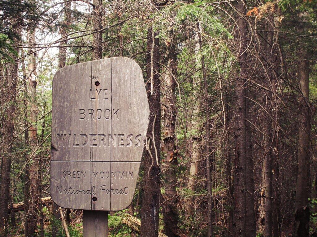
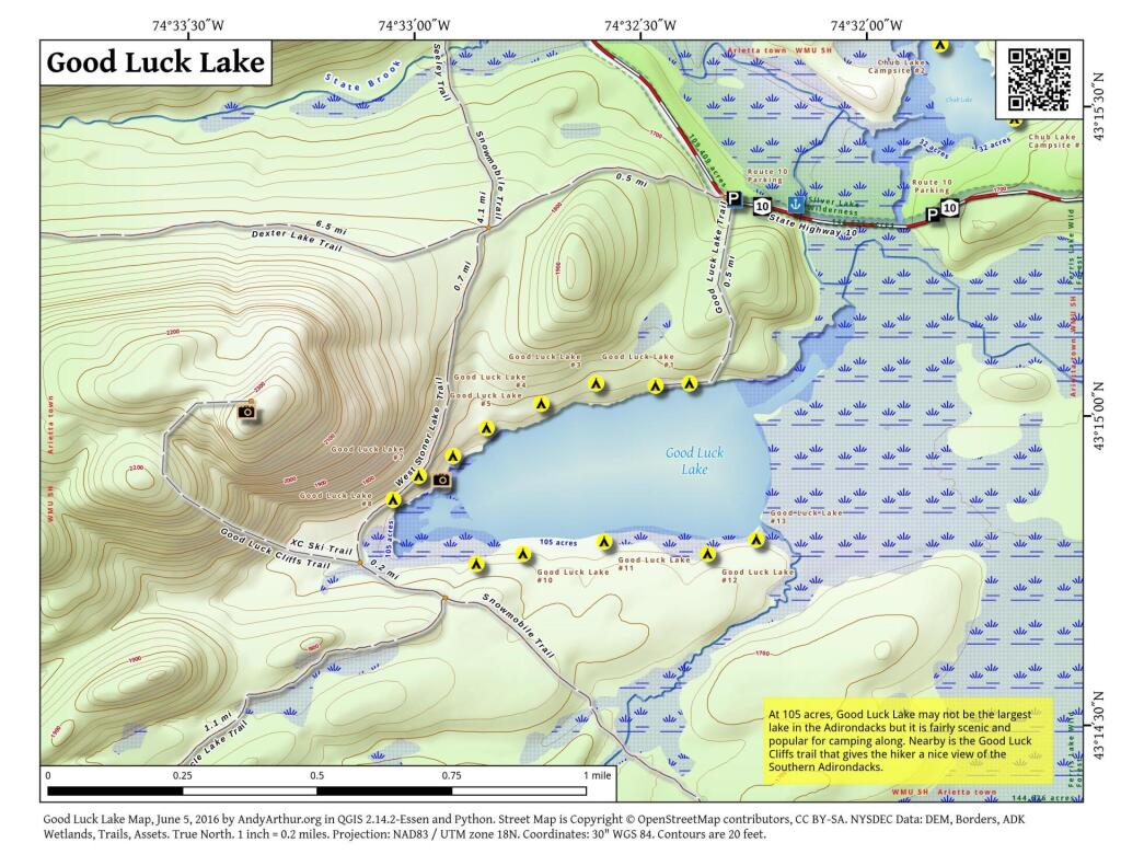
Head north on NY Route 10 from Caroga Lake (about 10.6 miles) or south from the junction of NY 8 in Piseco (about 11.6 miles). Keep a sharp eye out for a marked pull-off on the east side of the road; the trailhead itself is directly across on the west side. The sign for the Dexter Lake Trail is often the primary marker—once you cross the road, follow the register and look for the spur leading toward Good Luck Lake.

Paddling the West Branch Sacandaga
For those bringing a boat, the West Branch Sacandaga River provides a winding, scenic approach to the lake. Launching from the bridge on Route 10 allows you to paddle upstream through gentle, snaking waters.
- The Wildcard: Depending on recent rainfall and beaver activity, you’re likely to encounter beaver dams and other “strainers” (fallen logs) along the way.
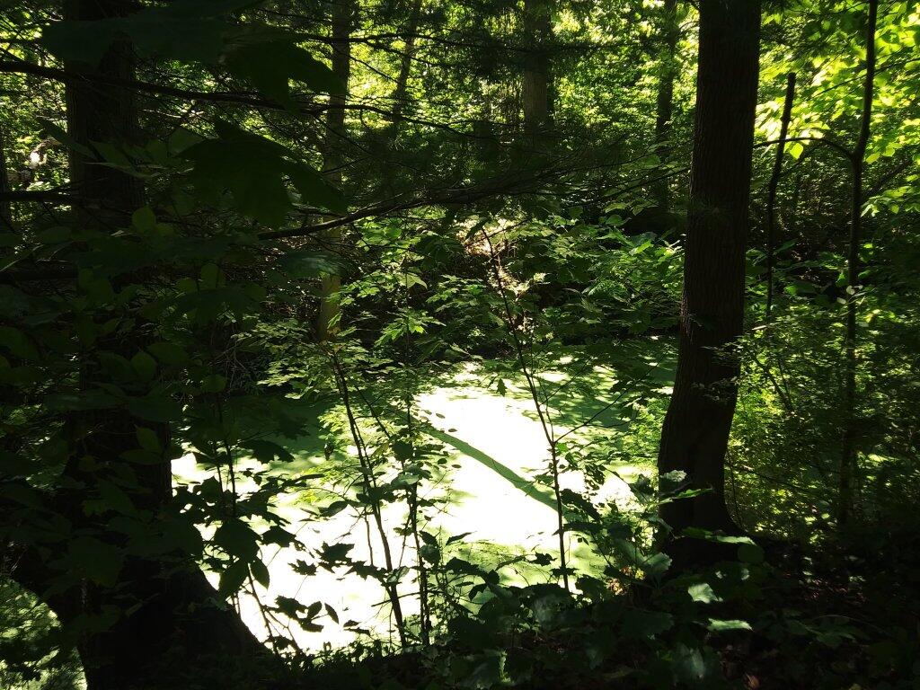
- Preparation: Be ready for occasional short portages. The reward is a tranquil entry into the shallow, calm waters of Good Luck Lake, which rarely sees heavy wave action even on windy days.
Camping & Hiking: From the Shore to the Cliffs
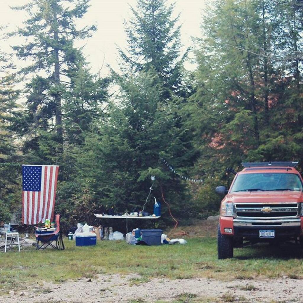
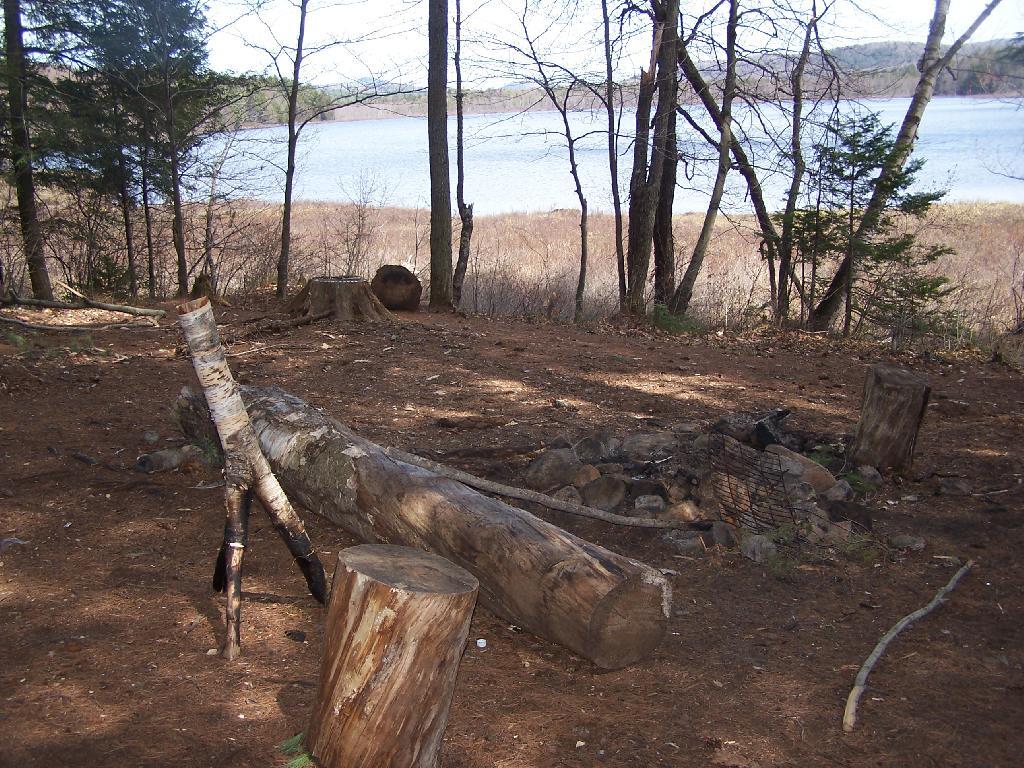
The lake features approximately 12 primitive, first-come, first-served campsites scattered along its northern and eastern shores. These designated sites are accessible via a short hike (about 0.4 to 0.5 miles) from the road.
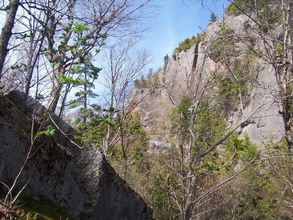
If you’re staying at the lake, the Good Luck Cliffs are a mandatory side trip. The trail begins with a gentle walk along the lake before transitioning into a steep, 650-foot ascent over boulders and glacial erratics. From the top, you’ll find an expansive ledge with stunning views of Spectacle Lake and the rolling southern Adirondack hills—the perfect spot to see if your luck holds for a clear sunset.