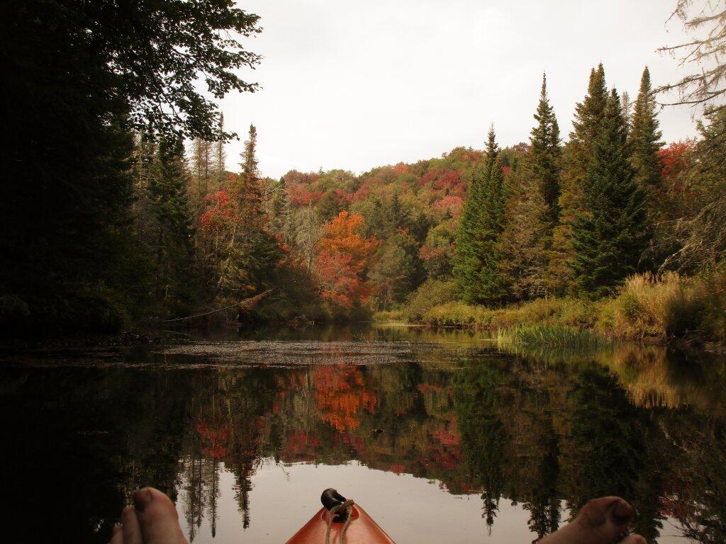
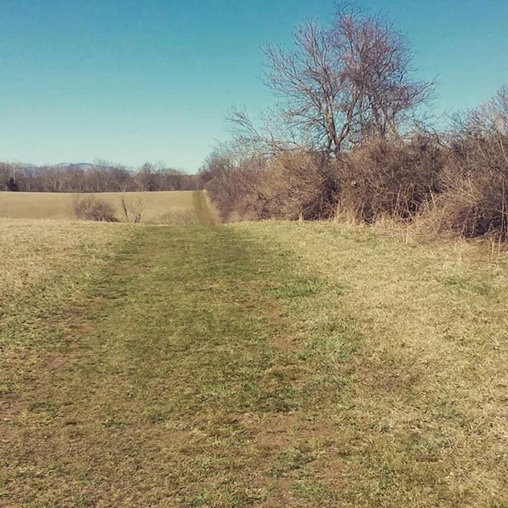
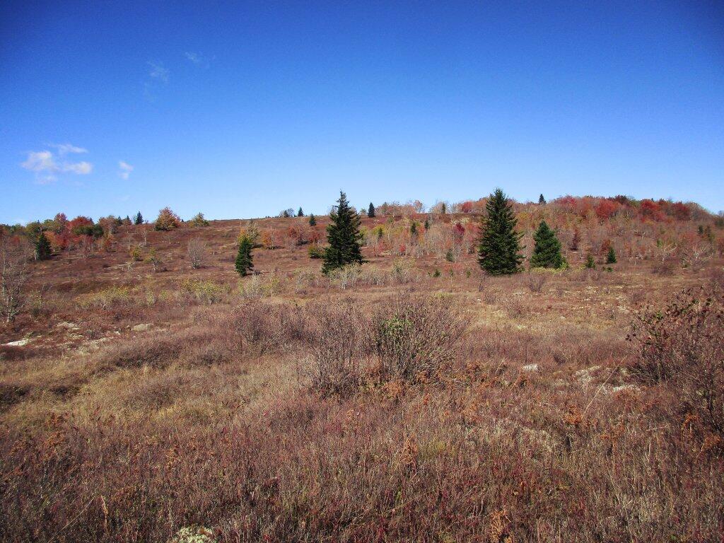
Watching the sun rise, debating on today’s plans 🌄
Everything is quite cold and damp from yesterday’s rain, but it is clearing in the Albany-area though not as quickly out west and I’m not sure if I do want to head out of town this weekend. At this point, it would be for only one night.
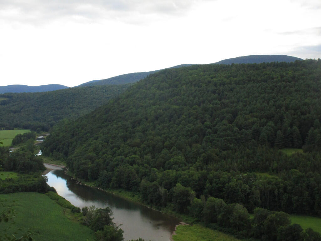
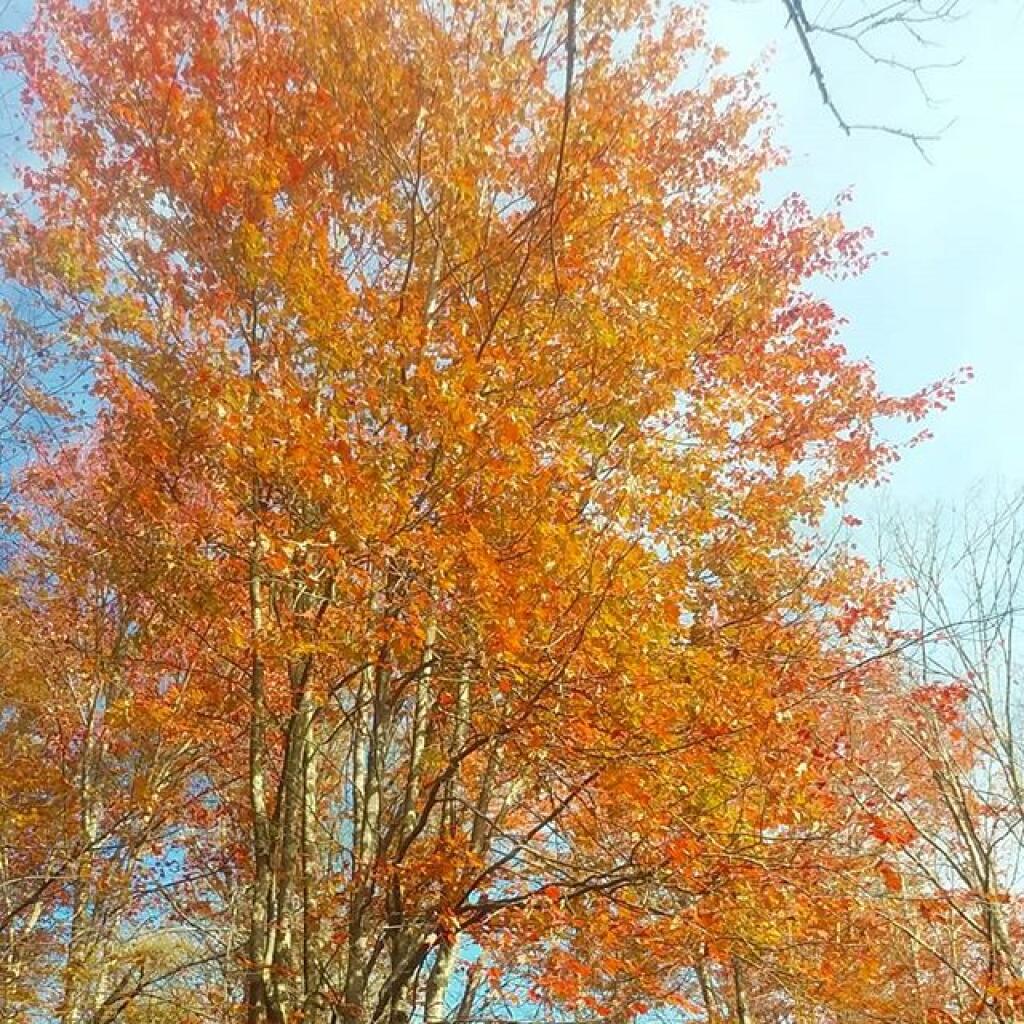
I got wet riding home last night ☔ which surprised me 🤨 but that green pea soup I made was pretty damn good. 😋 Cold, damp and gray to start out the day but now sunny ☀️. I kind of want to go out to Schoharie today, maybe ride the Catskill Scenic Trail or hike Bear Pen Mountain 🐻 or Cogdon Hollar Trail 🚶 but I know the color out there is likely already complete shit. 🍁 Autumn doesn’t last.
Actually it’s silly to spend all that money on gas ⛽ for my big jacked up truck when I can just go on my mountain bike for a ride. 🚴 Let me be freaking honest with myself, it looks cold and cloudy ☁️ and just crap out in Schoharie for the bulk of the day and I’d only be able to do one night. 🏕️ Truth is that I don’t need to smoke any more weed 🚭 not do I need to drink any more beer. 🍻 Hopefully in two weeks from now it will be nice enough to get out to Madison County and then I have a big ol fire. 🔥 Before the start of rifle season. 🦌
Maybe I’ll ride down to Coeymans and then over to the Henry Hudson Park. 🏞️ Then take the rail trail back home via Glenmont. It’s to be decided based on how long the nice weather sticks around. I also want to spend some time reading 📖. I think I left my camera 📸 in the office. I guess I could ride up to Menands to get that but that’s silly. 🚲 My phone takes pretty good pictures. 📱