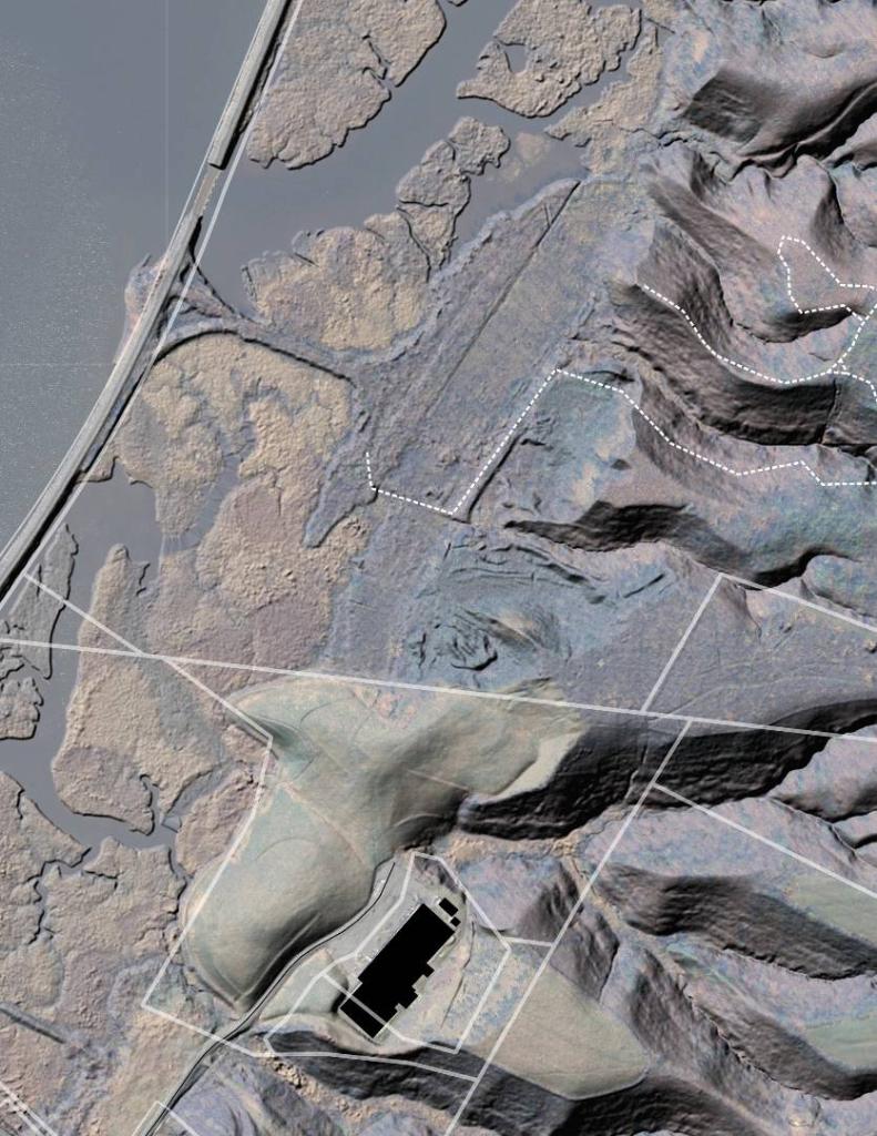
Greenport Brickyards – Conservation Area LIDAR South 🗺️
Download a High Resolution JPEG Image of the Terrain Greenport Brickyards - Conservation Area LIDAR South or an Adobe Acrobat Printable PDF of the Terrain Greenport Brickyards - Conservation Area LIDAR South.
About Greenport Brickyards - Conservation Area LIDAR South ....
Since hiking around the Greenport Conservation Area last weekend I've been quite intereted in the Greenport Brickyards and what one can discover from the Digital Surface Model of the ground from LIDAR surveys.

More about Greenport Conservation Area...
The Greenport Conservation Area is a 600-acre natural preserve located just outside Hudson, New York. It features:
Trails: Over 6 miles of trails, including a one-mile Access for All trail suitable for strollers, wheelchair users, and individuals with limited mobility
Scenic Views: Stunning Hudson River and Catskill mountain views
Landscapes: Forests, open meadows with grassland birds, and wildflowers
Historical Site: Remains of a once-active brickyard along the Brickyard Trail
Amenities: Two gazebos, several benches, picnic areas, and strong cell reception
Recreational Activities: Hiking, cross-country skiing, snowshoeing, birding, picnicking, and walking
The area is managed by the Columbia Land Conservancy and is connected to Harrier Hill Park, owned by Scenic Hudson. It's also pet-friendly, allowing leashed dogs. Visitors can enjoy art trails, foraging, and exploring the natural beauty of the area.


