Out for a ride in the rain to burn off the frustration 😤 🚲 ☔
I got home and the jack I got delivered from Amazon was absolutely soaked through and the box ripped instantly but the jack and instructions were fine. I stuck it in the truck and I’m hoping I’ll never have to use it. I hope I never have to use it.
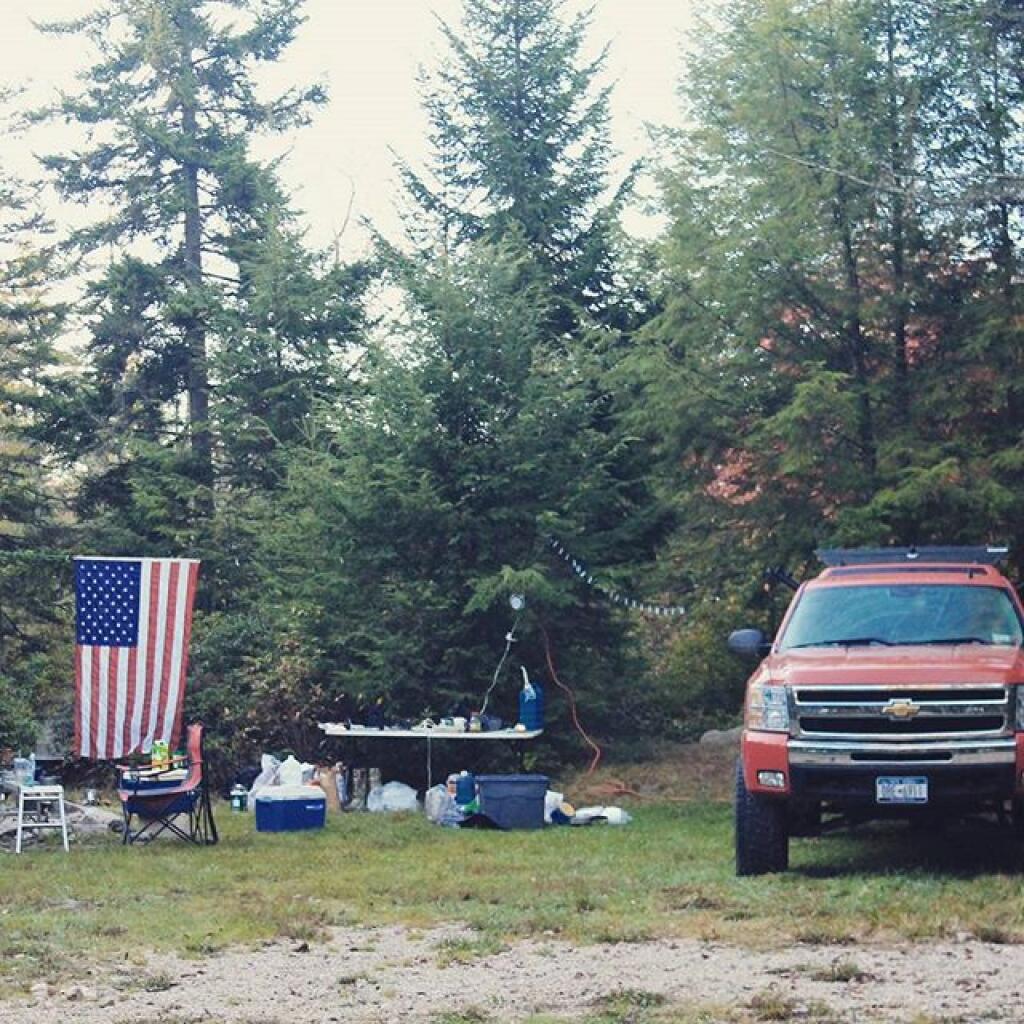
I’m totally bummed out about the end of the express bus downtown except for the 7:15 am run and the 4 pm which won’t work for me unless I catch the early one in and the local in the evening. I doubt I can catch the local in the evening unless I wait around for like twenty minutes downtown because they changed that schedule too. Truth is that I’m going to seriously have to consider driving to work more. Parking is free at the suburban office but gas and wear and tear on the vehicle ain’t. I should just be glad that I did the bus thing for 18 years. Next year I’ll get a much smaller truck assuming Red lasts that long.
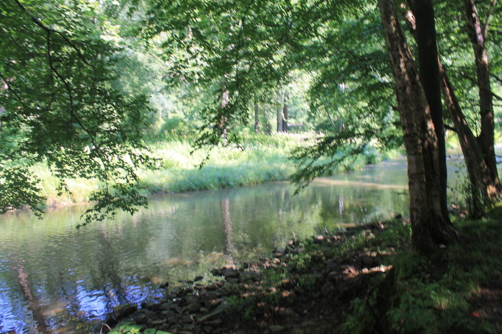
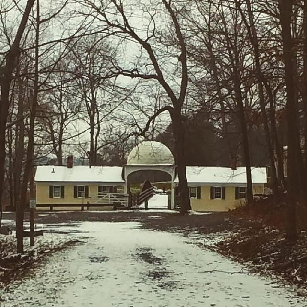
I rode out to Voorheeesville this evening as I need to burn off some stress. I was spiraling down do fast, bummed out about the bus and my old truck when I got home. Nothing beats a good bike ride when you’re feeling down. Rain isn’t too bad this evening and there is zero traffic on the Rail Trail.
Work is great, I’m having a lot of fun developing and managing data – I get to write code but I’m not part of a development team – and it’s lots of quick off script. The pay is good, truth is that I can afford a new vehicle and I can commute. Not that I’m happy about it. Really only a 15-20 minute drive each way and I’ll bike in as much as possible.
I need to get my 10 Hoopla library borrows for July for reading through the next three weeks once I get home. Haven’t borrowed any yet. I want a bunch of audio books to listen to at camp and riding plus ebooks to read. Probably shit about homesteading and the wilderness. Maybe a computer topic too like programming.