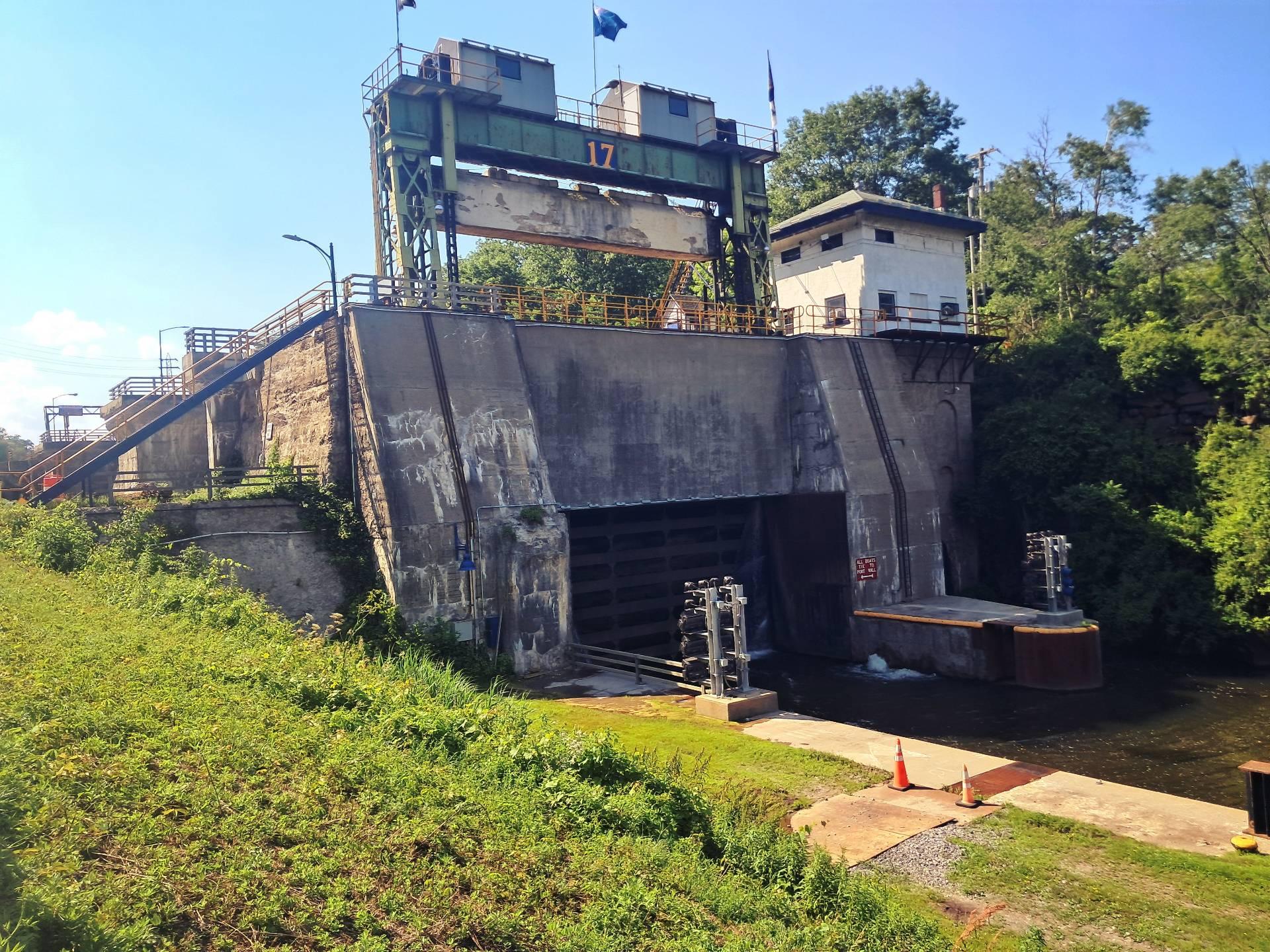
Closed Lock 17 🖼️
Download a High Resolution JPEG Image of the Closed Lock 17 or an Adobe Acrobat Printable PDF of the Closed Lock 17.
Closed Lock 17 ...
I was impressed on how much the lock gate leaks but I guess that's to be expected as there is a lot of water pressure that is going to sneak by no matter how tight they try to make to make the lock.
Taken on Sunday July 6, 2025 at Little Falls.

More about Little Falls...
Little Falls is a city in Herkimer County, New York, United States. The population was 4,946 at the 2010 census.. The city is built on both sides of the Mohawk River, at a point at which rapids had impeded travel upriver. Transportation through the valley was improved by construction of the Erie Canal, completed in 1825 and connecting the Great Lakes with the Hudson River.
https://www.wikiwand.com/en/Little_Falls_(city),_New_York


