Fort Herkimer – Canalway Trail 🗺️
About Fort Herkimer - Canalway Trail ....
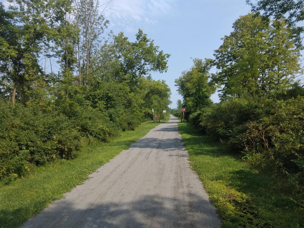
I was curious to see how the Erie Canalway trail diverted off of the the former right-of-way of the New York Central line. It hops off the old rail line outside of Jacksonburg to follow the tow path of the Erie Canal and shoulder of the Barge Canal before hopping back on the right of way of the New York Central line around Herkimer through Frankfort, part of which is now the NY 5S Mohawk - Illion - Frankfort bypass..

Helpful Hint: While I suggest you look on blog for a downloadable PDF Map, you should be able to print or save this map by clicking the print button on the map above.
Data Sources
Empire State Trail - You can download the KMZ File used in creation of this map.
USGS DRG Topo - Digital raster graphic (scanned) in topographic maps from the USGS and Forest Service. Some of these maps are old as this program was discontinued in early 2000s, however they are most detailed maps. Provided via program with USGS and ESRI. USGS and ESRI. XYZ Tiles: https://services.arcgisonline.com/arcgis/rest/services/USA_Topo_Maps/MapServer/WMTS/tile/1.0.0/USA_Topo_Maps/default/GoogleMapsCompatible/{z}/{y}/{x}.jpg
3DEP Elevation Hillshade. LIDAR and legacy USGS DRG Topo Derived hillshades used as a background. DEM - WMS Service: https://elevation.nationalmap.gov/arcgis/services/3DEPElevation/ImageServer/WMSServer, Layer: 3DEPElevation:Hillshade Gray
Full List of WMS and ArcMap Services - CSV Spreadsheet with all web map services currently used on the blog.
More about Erie Canal...
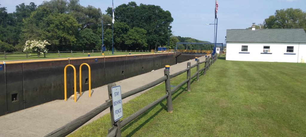
The Erie Canal, an iconic waterway in New York State, offers a blend of historical significance and modern recreation. Spanning from Albany to Buffalo, this historic canal presents unique kayaking and cycling opportunities. Paddle along its serene waters, journeying through charming towns and picturesque landscapes, immersing in a leisurely adventure with a historical touch. On the adjacent cycling path, cyclists can pedal along the canal's scenic route, enjoying a scenic journey that parallels the waterway. The Erie Canal's towpath is now a dedicated trail for cyclists, providing a safe and enjoyable route for bike enthusiasts. Both kayaking and cycling along the Erie Canal provide an engaging way to connect with history, nature, and the communities that have flourished along this storied waterway.