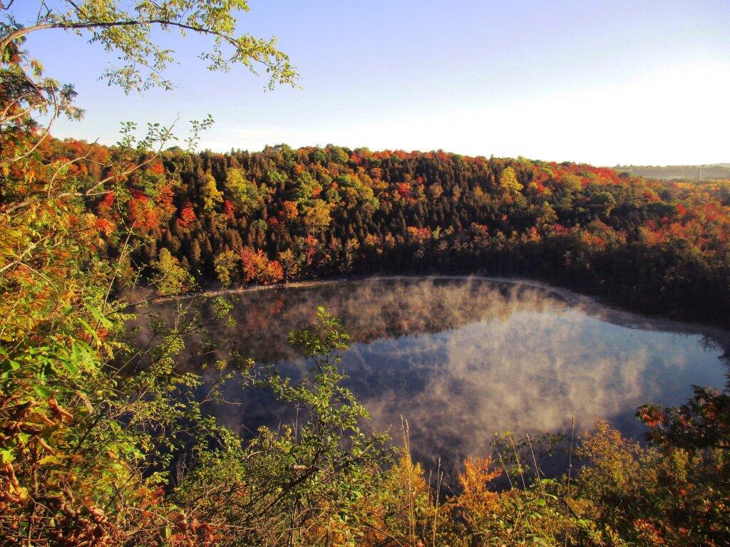
Monday closing down 🌃
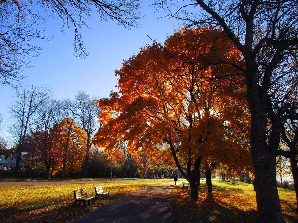
With rain showers pushing inm the skies have gotten dark and cloudy. Plus the days aren’t that long compared to May and it was kind of cool with the wind this afternoon, so I went down to park for a bit before heading back home. Probably be in bed by 8 PM, I’m kind of tired.
I need groceries but with the bananas and apples, and some creativity with cooking I should be fine at least through tomorrow or maybe Wednesday. By then maybe I’ll have a better idea of what Good Friday will look like for with work. Not sure what my plans are – I could do an overnight, though I kind of want to go farther out of town, maybe do a hike. I think was thinking more about Grandma Moses Country and wondering if there were other interesting options for hikes up there like Peaked Point at Batten Kill State Forest I explored last spring. But I also do want to get and do an overnight.
Looking back, it’s true many years the first real trip of the year wasn’t until late April or even the first or second weekend of May. Snow sticks around a long time in Adirondacks, there have been times when I’ve camped up there in late April or even early May when there is still snow up there. Saw this probably AI generated off-grid cabin post on Facebook today, and it peaked my interest. It’s almost like it was generated to get my interested. I could be paranoid about such things but I’m.
I knew I had an air bubble in the brake line on my bike again, but was hoping to do a simple handlebar bleed, but that didn’t work. I pulled the caliber and opened that bleed port, and there was so much air in the line, it almost just bubbled out without any pumping. But then I was out of mineral oil to refill the brake line, but I ended up topping it off with an old bottle of power steering fluid that seemed to be pretty close to mineral oil. Only used it really to finish off the bleed, and it’s working good, though I need to order more fluid.