Untitled 🖼️
Download a High Resolution JPEG Image of the Untitled or an Adobe Acrobat Printable PDF of the Untitled.
Untitled ...
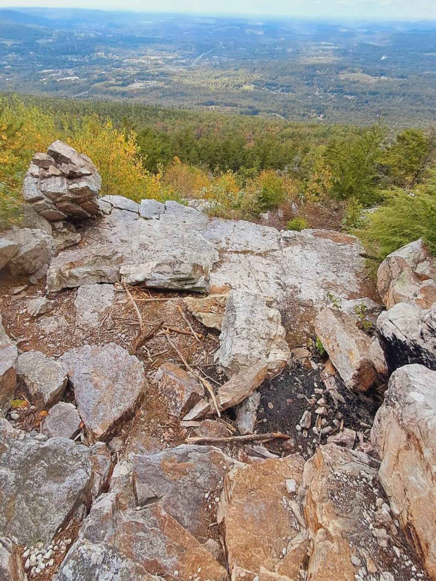
Taken on Monday November 11, 2024 at Alfred J Woodford State Forest.

More about Alfred J Woodford State Forest...
The Albert J. Woodford Memorial Forest contains 2,664 acres, and as with most state forests, the majority of this land was pasture and cropland at one time. Tassel Hill, located in the northern portion of the property, is the point of highest elevation in Oneida County. The Chittning Pond Fishing Access Site is a popular area for fishermen of all levels. Warm water species such as bass and sunfish are known to inhabit this pond. There is a gravel hand launch located in the southwest corner of Chittning Pond.
http://www.dec.ny.gov/lands/83241.html
Download the PDF Map Pack with All Maps from Alfred J Woodford State Forest.


