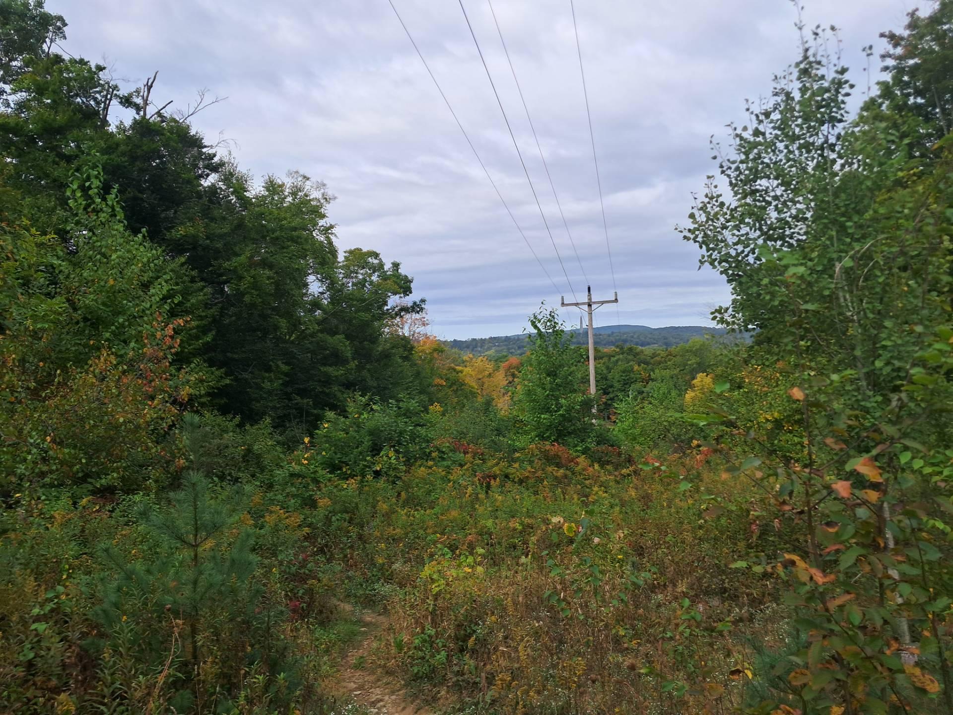
Blue Hill State Forest

Download a High Resolution JPEG Image of the Blue Hill State Forest or an Adobe Acrobat Printable PDF of the Blue Hill State Forest.


Bookmark my free Interactive GPS Map for your phone:
https://andyarthur.org/ny
... shows your location as a blue dot in relationship to campsites, trails, state land. This online map requires cell service, won't work in remote country, so also bring a paper map.
Free Download of New & Historical USGS 1:24k Topograpic Maps
Interactive maps with backcountry and roadside camping: New York, Pennsylvania, West Virginia & Vermont. List of NYS DEC Lean-Tos and Firetowers.
Google Spreadsheet with Roadside, Primitive and Pay Campsites
More about Cattaraugus County...
Cattaraugus County is a county located in the U.S. state of New York. As of the 2010 census, the population was 80,317. The county seat is Little Valley.
Cattaraugus County is in the southwestern part of the state, immediately north of the Pennsylvania border. The southern part of Cattaraugus County is the only area of western New York that was not covered by the last ice age glaciation and is noticeably more rugged than neighboring areas that had peaks rounded and valleys filled by the glacier. The entire area is actually a dissected plateau of Pennsylvanian and Mississippian age, but appears mountainous to the casual observer. The plateau is an extension of the Allegany Plateau from nearby Pennsylvania. Southern Cattaraugus County is part of the same oil field, and petroleum was formerly a resource of the area. It is now mostly played out, but natural gas continues to be extracted.
http://en.wikipedia.org/wiki/Cattaraugus_County,_New_York
Download the PDF Map Pack with All Maps from Cattaraugus County.


