Surrounded by the stoned cattle 🐮
I’m just trying to enjoy the sunset from the No-Nan-Tanko Trail when I look down and I’m surrounded by holsteins on all four sides their rough tongues licking my legs and smelling my mountain bike which obviously picked up some cow shit from the other pasture. And I say, God Bless the Grass.
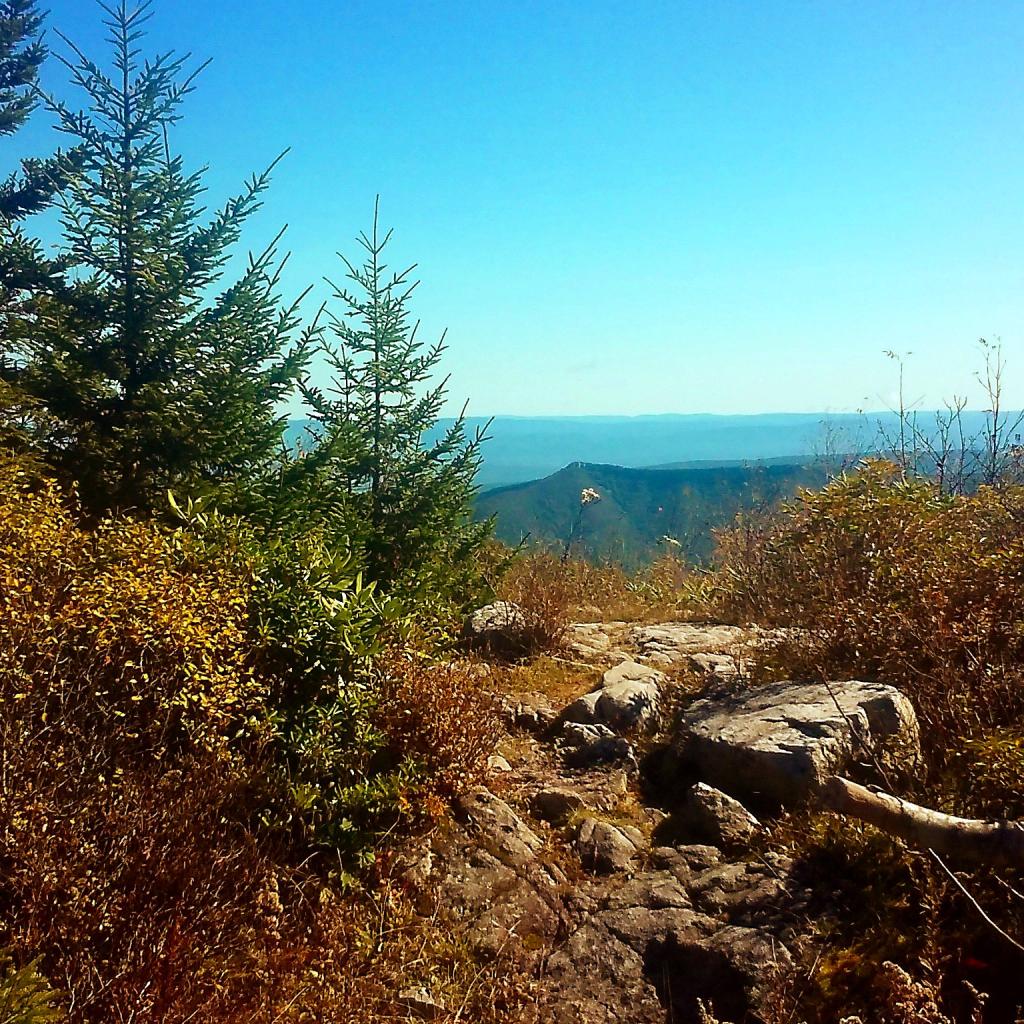
Those beef cows didn’t really find me quite interesting 🐂 but the holsteins certainly did. There are some nice views from the top of the backbone and this point with my mountain bike 🚲 being a year old I don’t care how much manure I sling with it riding the No-Nan-Tanko Trail. The sunset 🌇 was kind of muted from the wildfire smoke but it made for a firery sunset and sunrise. Spent some time down by Teeter Pond and then rode back to camp 🏕 in the dark before heading up to Foster Pond hoping to see some shooting stars ✨ though it was in vein. Didn’t stay a long time though as it was cold with the breeze and low humidity so I headed back to camp and had a fire 🔥 before falling asleep in the hammock om the hill after giggling 🤭 for a bit after listening to the news. 📰 The world may be going to shit but I’m enjoying this week slinging cow manure with my mountain bike.
Today I’m heading out on Seneca Lake in kayak 🛶 up to Hector Point most likely or at least under the cliffs then I will swim 🏊 at the Watkins Glen Pool, the ride Rock Cabin Road observing nature and poking around the Bad Indian Swamp. 🐸 Get ice cream 🍦 at the Glen Dairy Bar and watch the sunset 🌇 from Seneca Pier before heading back to camp for an early bed 🛏 before heading to Pennsylvania to ride the Pine Creek Gorge trail most of Sunday. But first Walmart for some supplies. 🛒 Going to be a hot one great day, figure maximize this weekend when the weather seems particularly nice.