Schodack Island Backwaters 🗺️
About Schodack Island Backwaters ....
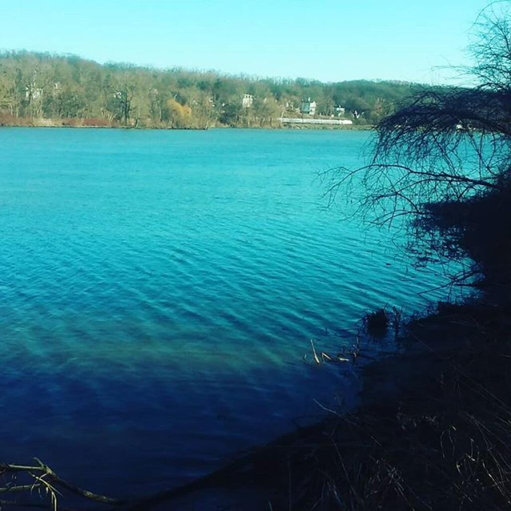
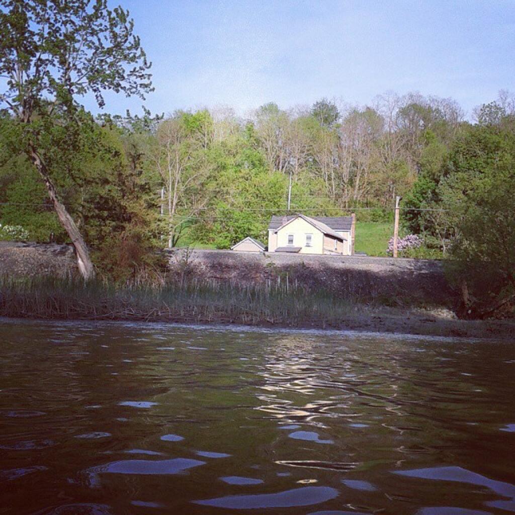
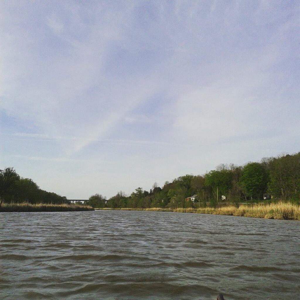
Near Hells Gate at Schodack Island State Park, with the Schodack Creek to flowing muddy after a rain storm.
Helpful Hint: While I suggest you look on blog for a downloadable PDF Map, you should be able to print or save this map by clicking the print button on the map above.
Data Sources
Road Trip to Coal Country by Nate Matthews - You can download the KMZ File used in creation of this map.
Aerial NAIP (2022/2023) - High-resolution aerial photography from NAIP photos taken with leaves on in summer/fall 2022 and 2023. NAIP. WMS Service: https://imagery.nationalmap.gov/arcgis/services/USGSNAIPPlus/ImageServer/WMSServer, Layer: USGSNAIPPlus:NaturalColor
3DEP Elevation Hillshade. LIDAR and legacy USGS DRG Topo Derived hillshades used as a background. DEM - WMS Service: https://elevation.nationalmap.gov/arcgis/services/3DEPElevation/ImageServer/WMSServer, Layer: 3DEPElevation:Hillshade Gray
Full List of WMS and ArcMap Services - CSV Spreadsheet with all web map services currently used on the blog.
More about Schodack Island State Park...
Schodack Island State Park sits off the eastern shore of the Hudson River just south of Albany. Approximately seven miles of Hudson River and Schodack Creek shoreline bound the 1,052-acre site.
A day-use facility, the park has been designated a State Estuary, and a portion of the park shelters a Bird Conservation Area (BCA) that is home to bald eagles, cerulean warblers and blue herons that nest in the cottonwood trees.
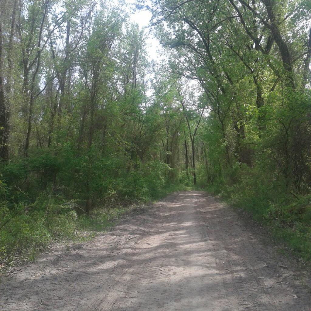
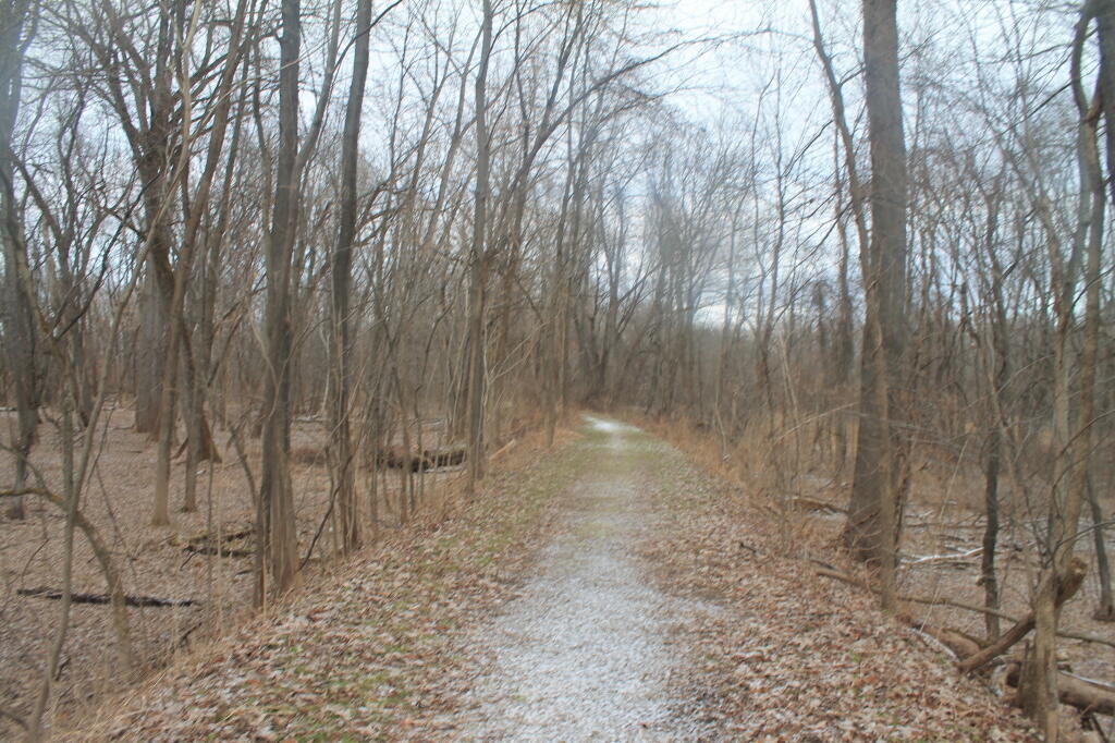
Eight miles of multi-use trails wind through a variety of ecological communities. In addition, the park has an improved bike trail, volleyball nets, horseshoe and a kayak/canoe launch site. Interpretive signage highlights the park's historic and environmental significance. Picnicking (tables and grills) are available to groups by reservation (fee - call park for details).
http://nysparks.com/parks/146/details.aspx