Worse thing about wilderness camping is learning about people’s deaths when you leave the wilderness ⚰️

I do a fair amount of wilderness camping these days in places without cell service. In recent years since my radio broke, I don’t even keep up with the news from the wilderness. Calls, emails, texts about a friend or a love one’s hospitalization or passing go unanswered.

You don’t know how many times I’ve left the wilderness only to find texts and voicemail on such topic – often in a tone of like how didn’t you know – it happened five days ago. Yet the wilderness doesn’t share such secrets of urban society with me until I return to the series of beeps and chimes as my phone returns into cell service area. It’s tragic to find out days late in such a way but so is the nature of being disconnected from urban society in the wilderness.

Map: Alma Pond
Map: Dobbins Memorial State Forest
Map: Little John Wildlife Management Area
Map: Otter Lake
Map: South Hill State Forest (Oneida 23)
Map: Summer Hill State Forest
Map: West Parishville State Forest
SVGZ Graphic: albany-snow-depth
SVGZ Graphic: college-rate
SVGZ Graphic: december-holidays
SVGZ Graphic: ht2025
SVGZ Graphic: lt2025
SVGZ Graphic: Places Named Bethlehem
SVGZ Graphic: Towns with Most Similiar Land Cover to the Town of Bethlehem
Terrain Map: Happy World Milk Day!
Photo: Almost Taste This Picture
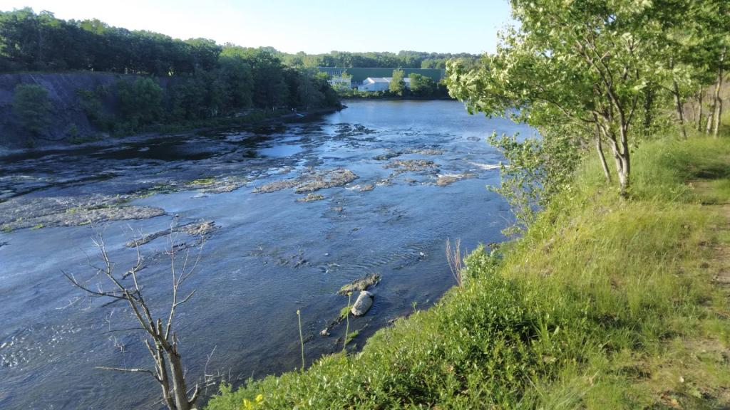
Photo: Low head dam
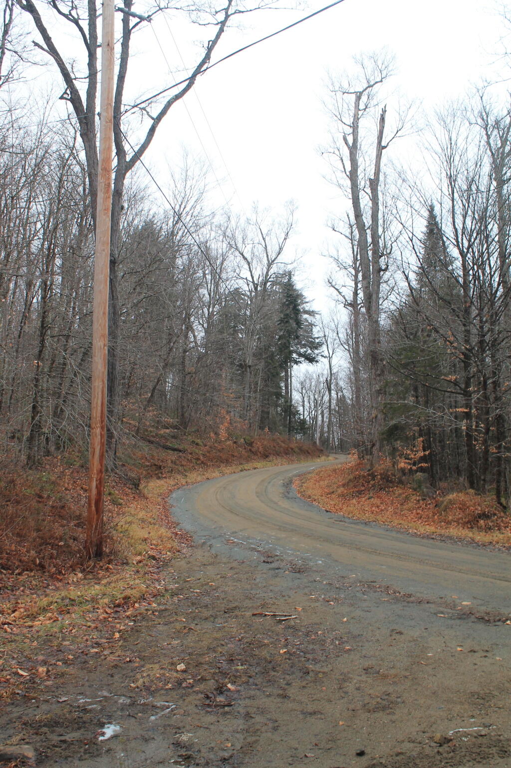
Photo: Northwood Club Road
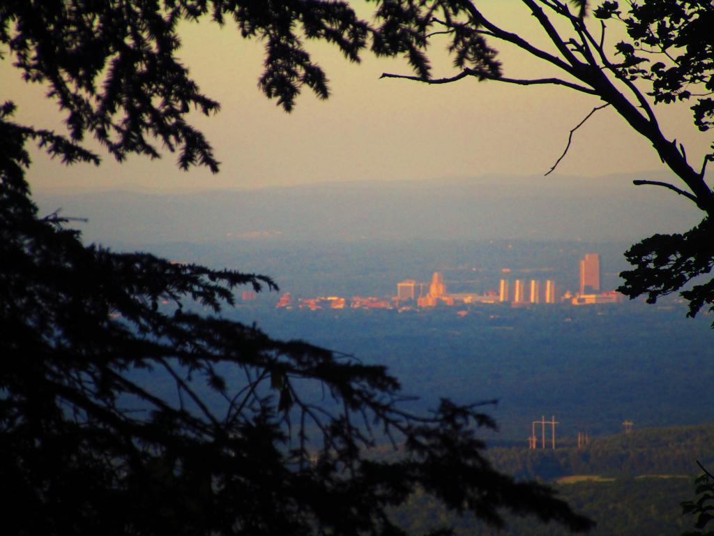
Photo: Looking Down at Albany from Wolf Hill
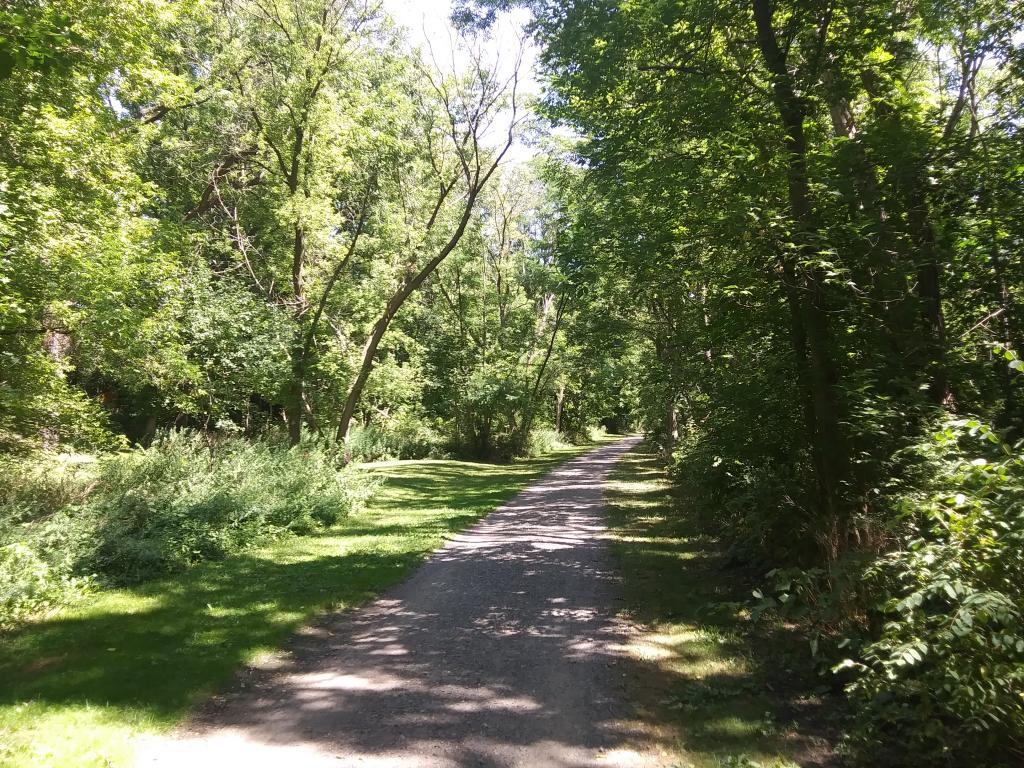
Photo: Nice quiet trail along the creek
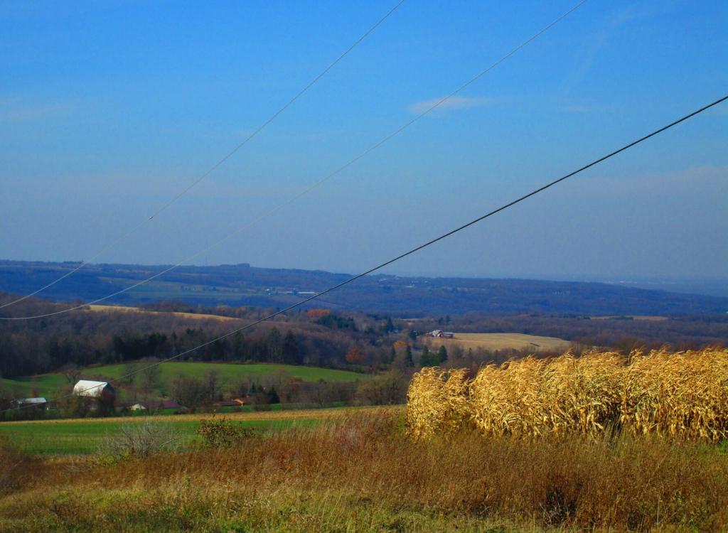
Photo: Low moisture corn 🌽 along Mile Strip Road
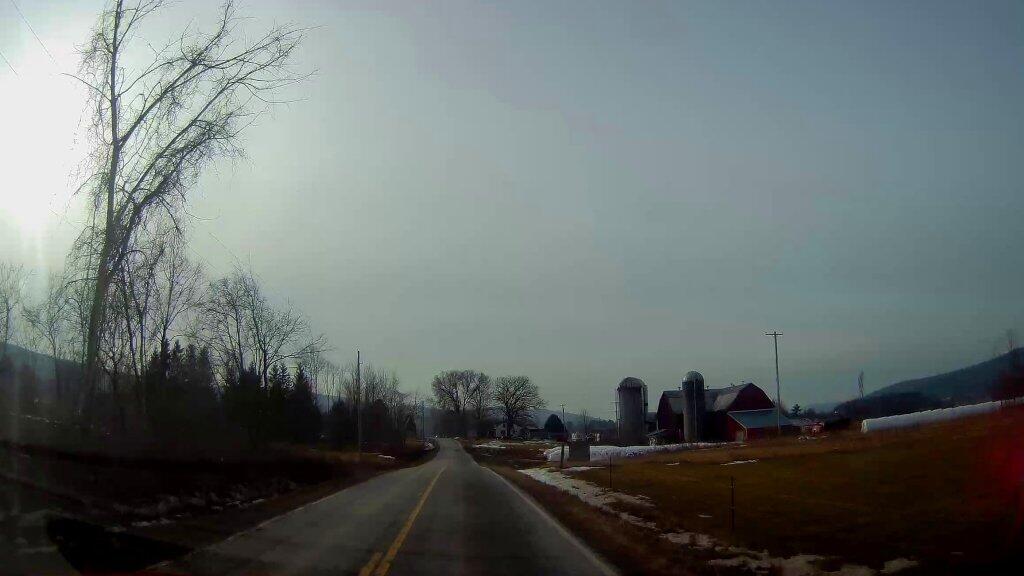
Photo: Farm On County Route 32
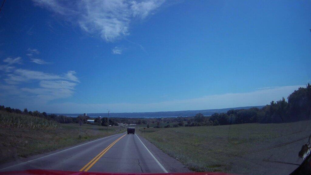
Photo: Outside Of Dresden
Photo: Autumn
Photo: Run Down Campsite Along Boreas River and NY 28

Leave a Reply

Your email address will not be published. Required fields are marked *