A risk I never considered 🚴

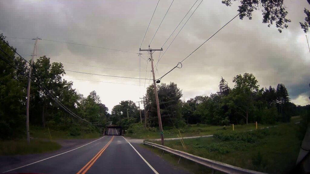
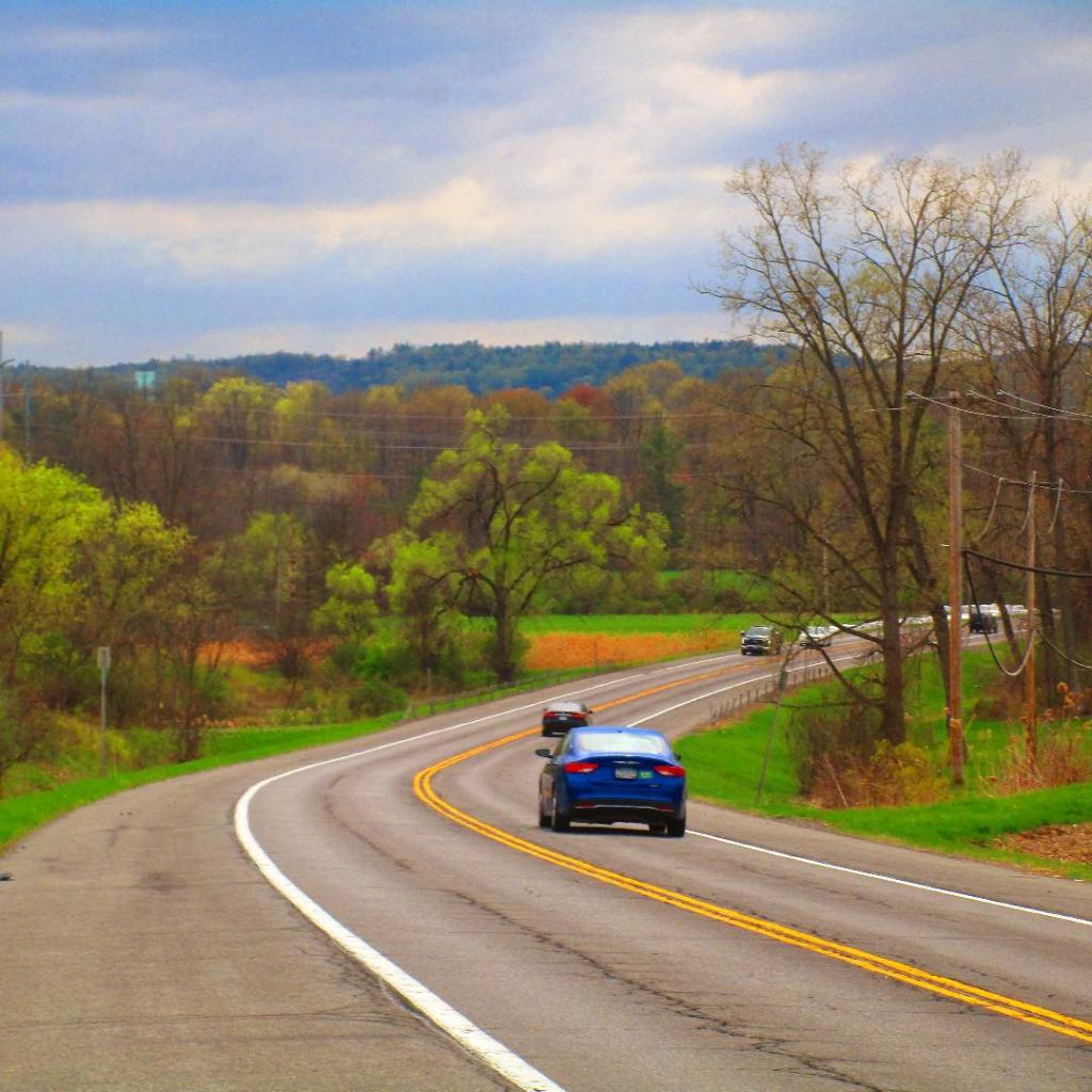
Even commutes have gotten somewhat more difficult as it can be harder to spot cars in intersections with the lower sun angle, especially dark colored cars. I wish more cars had daytime running lights, or people turned their headlights on earlier in the evening. Just got to keep an open eye on traffic when crossing roads, especially as the sunset is earlier.

Map: Bonner Lake State Forest
Map: Granger State Forest
Map: Peter Scott Swamp Freshwater Wetlands
Map: Point Peninsula Wildlife Management Area
Map: South Hill State Forest
Map: Urbana And Pigtail Hollow State Forests
Terrain Map: Brewerton
Terrain Map: Oswego Boulevard Expressway in 1958
Terrain Map: Saratoga - Ballston Spa
Terrain Map: The GAL And Rapp Road Hillshade
Terrain Map: Weedsport
Thematic Map: 2020 Bethlehem Proposition 2
Thematic Map: Before the Sprawl in Delmar
Thematic Map: Buildings Today Vs 1952 In Greenville, NY
Thematic Map: Farms on the Outskirks of Delmar
Photo: Railing
Photo: Lots of water in the Schoharie Creek
Photo: Petroleum Center Bridge
Photo: Overlook
Photo: Evening on Meads Road
Photo: March is For Shit Spreaders
Photo:  Bakers Mills
Photo: Ledge
Photo: The top of Moxham
Photo: Autumn Afternoon

Leave a Reply

Your email address will not be published. Required fields are marked *