Vergennes, Vermont 🗺️
About Vergennes, Vermont ....
Vergennes, Vermont, is a charming and historic city nestled in the western part of the state. Known as the "Little City," it holds the distinction of being Vermont's oldest and smallest incorporated city. With a population of around 2,500 residents, Vergennes exudes a cozy, small-town atmosphere that captivates visitors and locals alike.
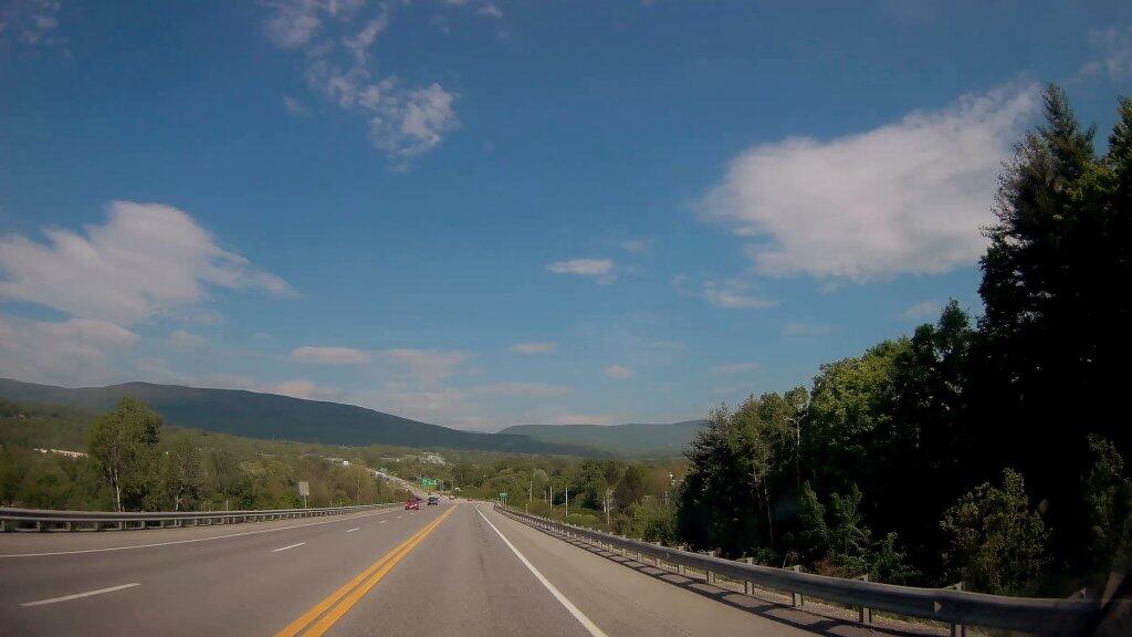
Situated along the scenic Otter Creek and surrounded by the stunning Green Mountains, Vergennes offers breathtaking natural beauty year-round. Its picturesque downtown area boasts well-preserved 19th-century architecture, making it a delightful destination for history enthusiasts and architecture buffs. Visitors can explore the city's rich heritage by strolling along its quaint streets, where they'll discover unique shops, local restaurants, and friendly community gatherings.
Vergennes also holds the title of being the state's first official "green city," demonstrating a commitment to sustainability and eco-friendly practices. This environmentally conscious ethos is reflected in the city's efforts to preserve its natural surroundings and promote a healthy, outdoor lifestyle.

Helpful Hint: While I suggest you look on blog for a downloadable PDF Map, you should be able to print or save this map by clicking the print button on the map above.
Data Sources
Road Trip to Coal Country by Nate Matthews - You can download the KMZ File used in creation of this map.
OpenStreetMap - Map data: © OpenStreetMap, SRTM | Map style: © OpenTopoMap (CC-BY-SA). XYZ Tiles: https://{s}.tile.openstreetmap.org/{z}/{x}/{y}.png
ESRI World Aerial - This series of aerial images is an alternative to USGS' aerial photos, with higher resolutions, although not as detailed as state programs. Esri, DigitalGlobe, GeoEye, i-cubed, Earthstar Geographics, CNES/Airbus DS, USDA, USGS, AEX, Getmapping, Aerogrid, IGN, IGP, swisstopo, and the GIS User. XYZ Tiles: https://server.arcgisonline.com/ArcGIS/rest/services/World_Imagery/MapServer/tile/{z}/{y}/{x}
3DEP Elevation Hillshade. LIDAR and legacy USGS DRG Topo Derived hillshades used as a background. DEM - WMS Service: https://elevation.nationalmap.gov/arcgis/services/3DEPElevation/ImageServer/WMSServer, Layer: 3DEPElevation:Hillshade Gray
Full List of WMS and ArcMap Services - CSV Spreadsheet with all web map services currently used on the blog.
More about Vermont...
Vermont, a northeastern state in the United States, is celebrated for its charming landscapes, including the iconic Green Mountains and picturesque valleys.
The Green Mountains, adorned with lush forests and pristine lakes, serve as a backdrop for exploration. From ascending scenic trails to cycling through quaint villages, the state caters to diverse interests. The Green Mountain National Forest provides a haven for camping under the stars, while Vermont's serene lakes and rivers offer opportunities for kayaking and water-based escapades.
This webpage centers on free camping opportunities within the Green Mountain National Forest, inviting outdoor enthusiasts to immerse themselves in the region's natural beauty. With a focus on hiking, biking, kayaking, and other outdoor activities, Vermont offers a plethora of adventures.
In Vermont, the union of nature's wonders and outdoor pursuits promises a memorable and enriching experience for all who seek it.