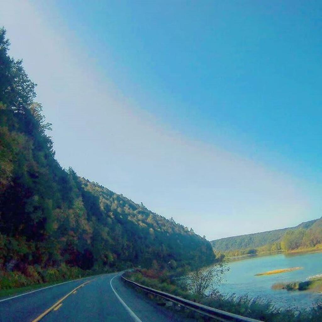
Allegheny Reservior 🗺️
About Allegheny Reservior ....
Cornplanter would not approve. https://www.americanheritage.com/content/cornplanter-can-you-swim

Helpful Hint: While I suggest you look on blog for a downloadable PDF Map, you should be able to print or save this map by clicking the print button on the map above.
Data Sources
Road Trip to Coal Country by Nate Matthews - You can download the KMZ File used in creation of this map.
Pennsylvania Aerial (2018-20) - Aerial photography from the summer of 2019, taken as part of National Agricultural Photography Program. PASDA/Penn State. WMS Service: https://apps.pasda.psu.edu/arcgis/services/PEMAImagery2018_2020/MapServer/WMSServer, Layer: 1
3DEP Elevation Hillshade. LIDAR and legacy USGS DRG Topo Derived hillshades used as a background. DEM - WMS Service: https://elevation.nationalmap.gov/arcgis/services/3DEPElevation/ImageServer/WMSServer, Layer: 3DEPElevation:Hillshade Gray
Full List of WMS and ArcMap Services - CSV Spreadsheet with all web map services currently used on the blog.
More about Allegheny National Forest...
The Forest Service brought new concepts in forest management to the Allegheny Plateau -- multiple benefits and sustainability. The Organic Act of 1897 introduced the National Forest mission: to improve the forest, provide favorable conditions for water flows, and furnish a continuous supply of wood to meet people's needs. On these lands, seedlings for tomorrow's forest are the focus of forest management activities. Watersheds are managed to ensure clear water for fisheries like trout and clean drinking water for all.
Over time, various laws added other benefits like wilderness, heritage resources and grazing to the original ideas of watershed protection and continuous wood supply. The Multiple Use-Sustained Yield Act of 1960 recognized outdoor recreation and habitat for wildlife and fisheries.
The motto "Land of Many Uses" captures the National Forest goal of a healthy, vigorous forest that provides wood products, watershed protection, a variety of wildlife habitats and recreational opportunities -- not only for us today, but in a sustainable way so future generations can enjoy these benefits, too.
http://www.fs.usda.gov/allegheny/
Download the PDF Map Pack with All Maps from Allegheny National Forest.