Summit of Bennett Hill 🗺️

Helpful Hint: While I suggest you look on blog for a downloadable PDF Map, you should be able to print or save this map by clicking the print button on the map above.
Data Sources
Road Trip to Coal Country by Nate Matthews - You can download the KMZ File used in creation of this map.
NY Aerial (2020) - High-resolution aerial photography from NYSGIS, photos taken with leaves off in spring time between the years 2016-2020. NYSGIS. WMS Service: https://orthos.its.ny.gov/ArcGIS/services/wms/Latest/MapServer/WMSServer, Layer: 0,1,2,3
3DEP Elevation Hillshade. LIDAR and legacy USGS DRG Topo Derived hillshades used as a background. DEM - WMS Service: https://elevation.nationalmap.gov/arcgis/services/3DEPElevation/ImageServer/WMSServer, Layer: 3DEPElevation:Hillshade Gray
Full List of WMS and ArcMap Services - CSV Spreadsheet with all web map services currently used on the blog.
More about Bennett Hill Preserve...
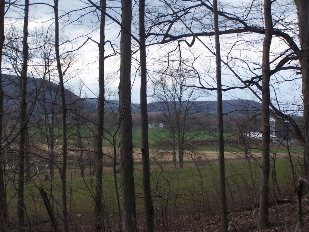
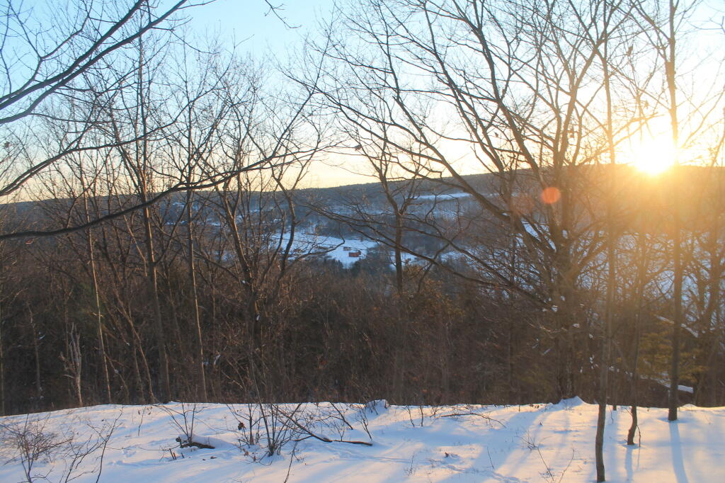
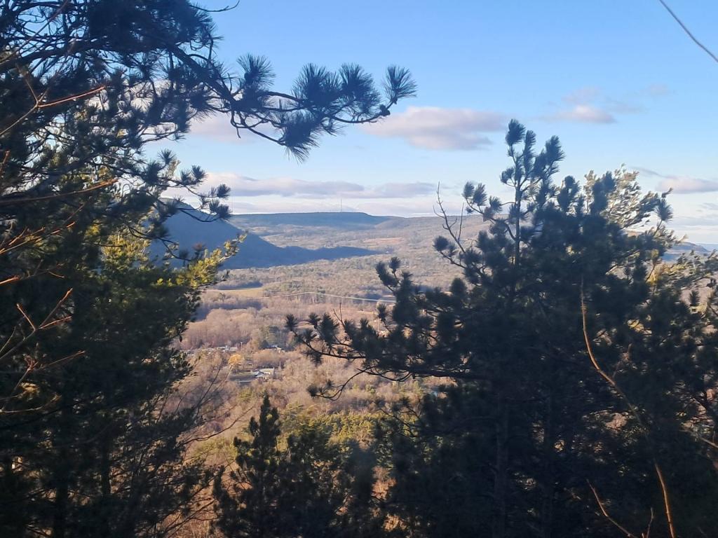
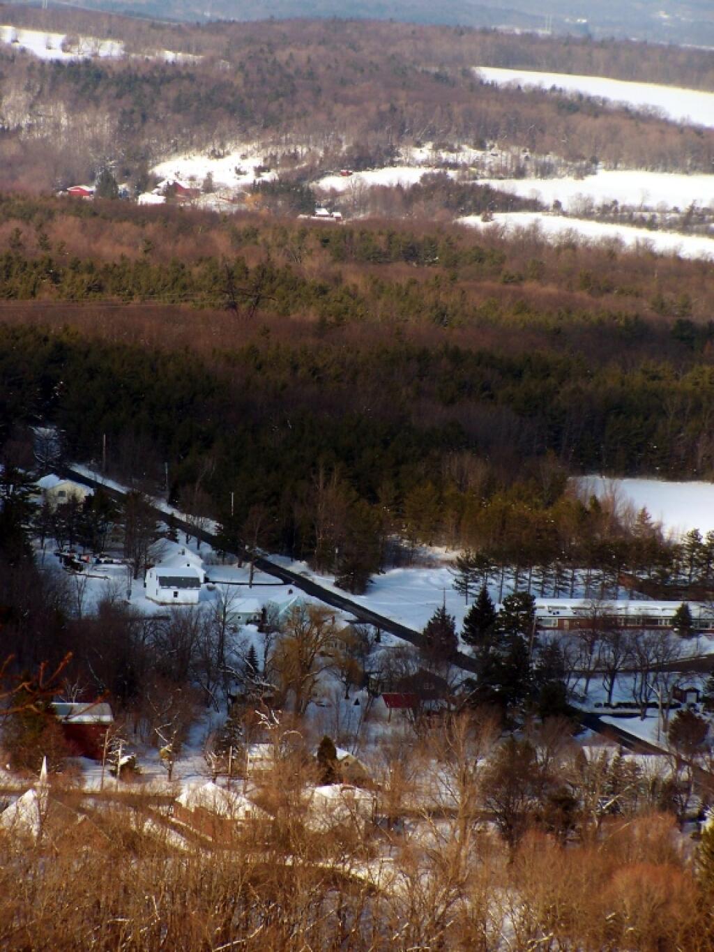
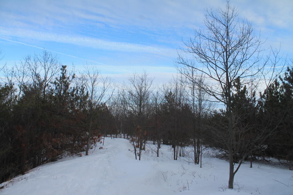
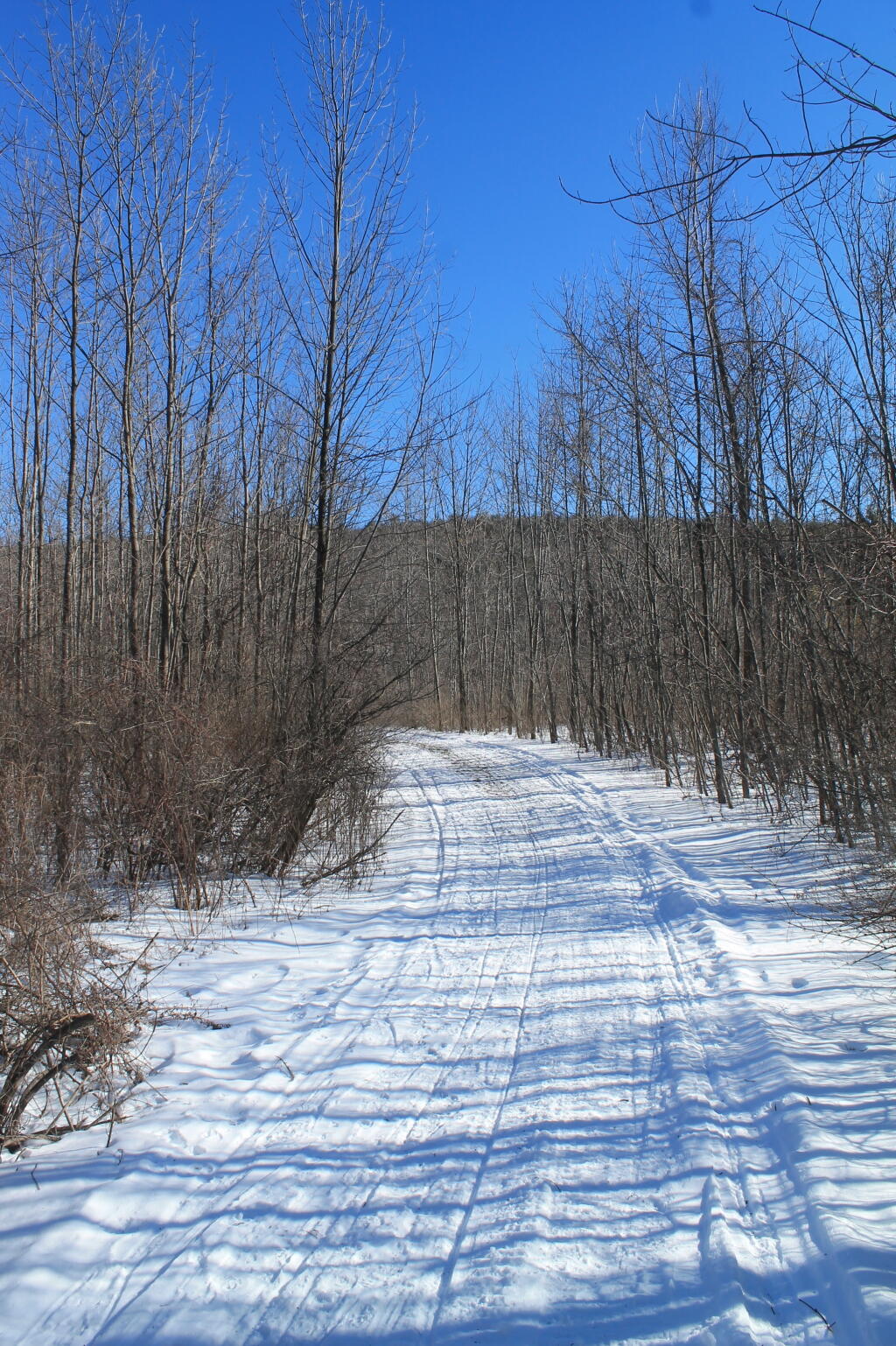
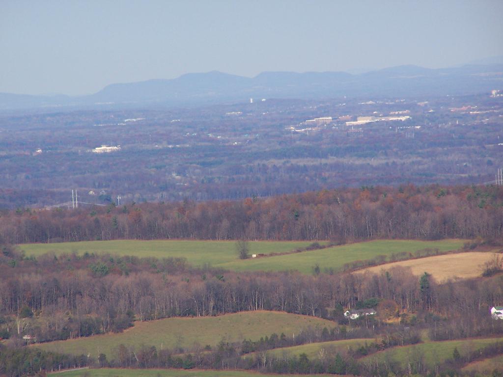
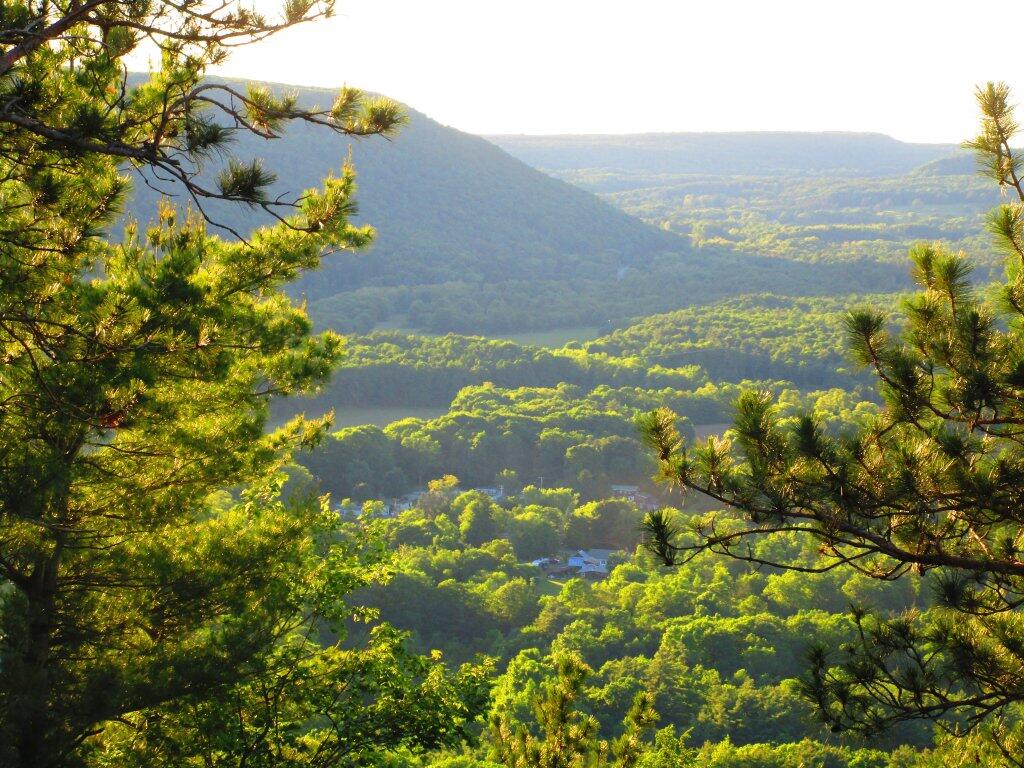
This 155 acre property was a gift of Dr. Jerry Bilinski of North Chatham in 1998 to the Mohawk Hudson Land Conservancy. The hill towers over Clarksville, and stands only a short distance from the base of the Helderberg Escarpment. Although the top of the hill is only 400 feet above the surrounding land, it offers striking views of the Helderbergs to the north and west, and Albany to the east.
http://www.mohawkhudson.org/preserves/Bennett.htm