Snow Gently Falls 🖼️
Download a High Resolution JPEG Image of the Snow Gently Falls or an Adobe Acrobat Printable PDF of the Snow Gently Falls.
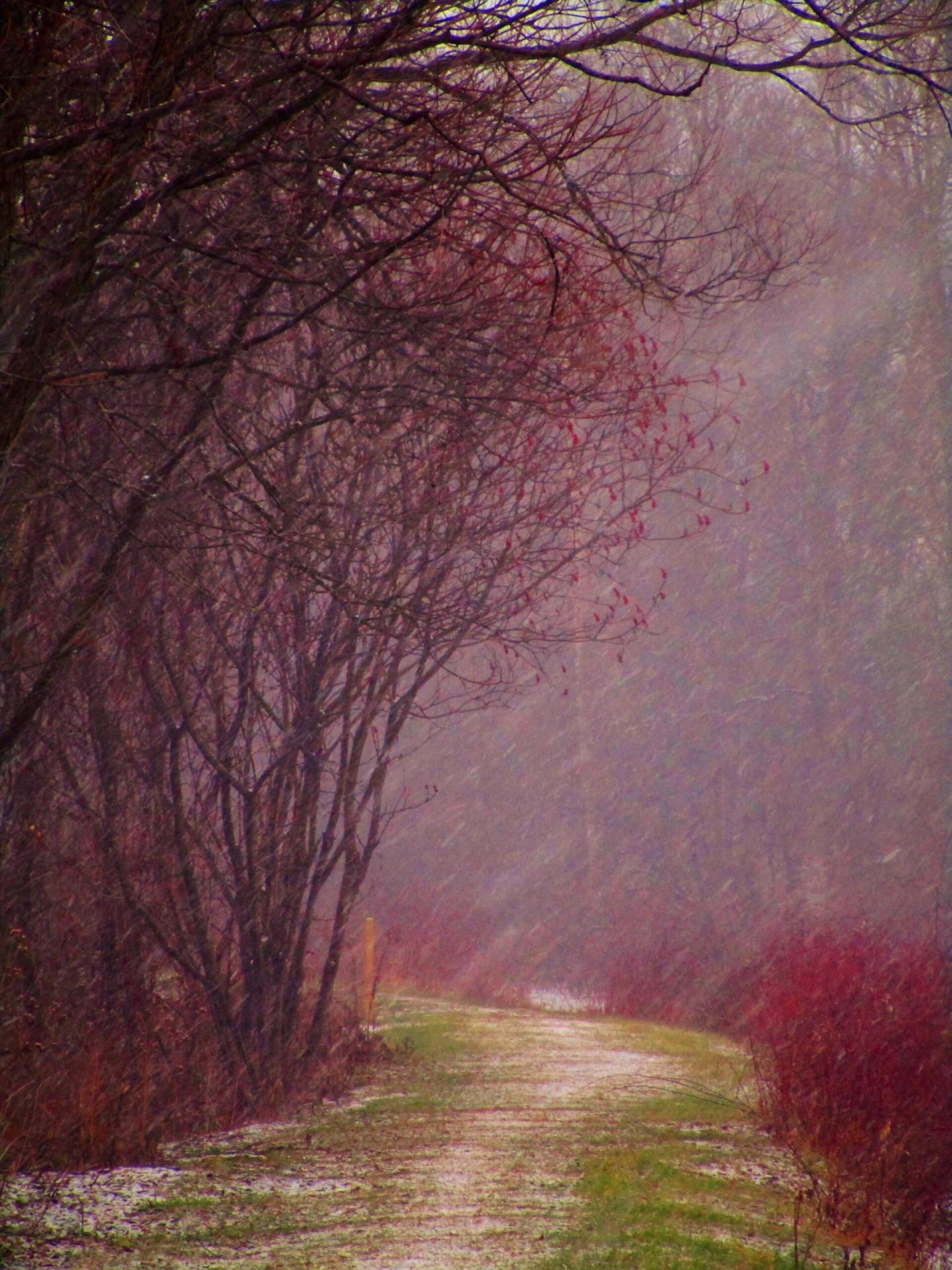
Snow Gently Falls ...
Walking along the old Chenango Canal on a rather cold winter's day in December north of Hamilton.
Taken on Wednesday December 22, 2021 at Chenango Canal.

More about Chenango Canal...
The Towpath Trail in Bouckville leads two miles North from the museum to the Oriskany Creek where an aqueduct once crossed the creek. The hand cut stone abutments are still there in excellent condition and water from the canal spills into the creek heading north to the Erie Canal. Photo Room for 2-3 cars on Canal Road just past the creek crossing.
Walking 6.5 miles south from the Canal Museum leads to the Village of Hamilton. OR, park at the trailhead on Montgomery Street in Hamilton (opposite the Sunoco station) and start the trail here. The trail leads north past the Hamilton Airport and Woodman’s Pond all the way to Bouckville at the museum.
http://www.chenangocanal.org/Visit_the_Canal/visit_the_canal.html


